Cedar Creek (Floyds Fork trib.)
Cedar Creek Rd near Johnson School Rd to Bells Mill Rd (12.2 miles)
Apr 27, 2011
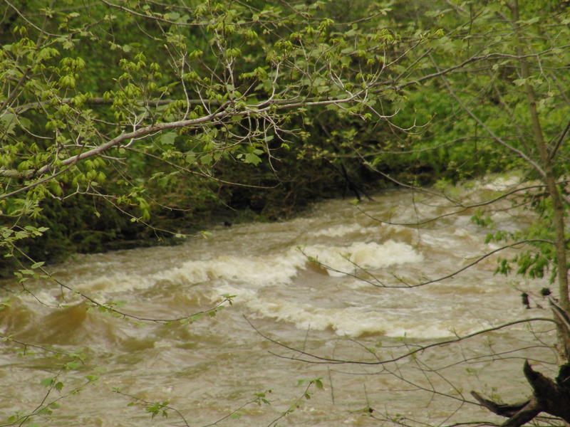
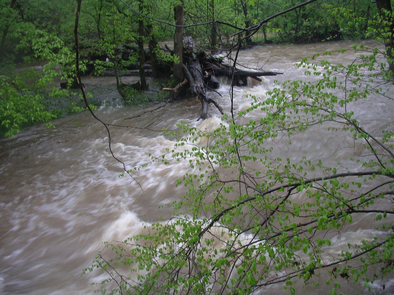
The WW didn't look as good at 2.1 feet, but the standing waves looked taller. I scouted Turtle Rapid and the wave train had taller waves then when it was at 1.7 feet.
Apr 27, 2011
I call this the falls of Cedar Creek, but really it isn't much. At low water there is lots of rocks to maneuver around to get through here. It always looks cool from the bridge. This photo was taken at 2.1 feet.
Apr 27, 2011
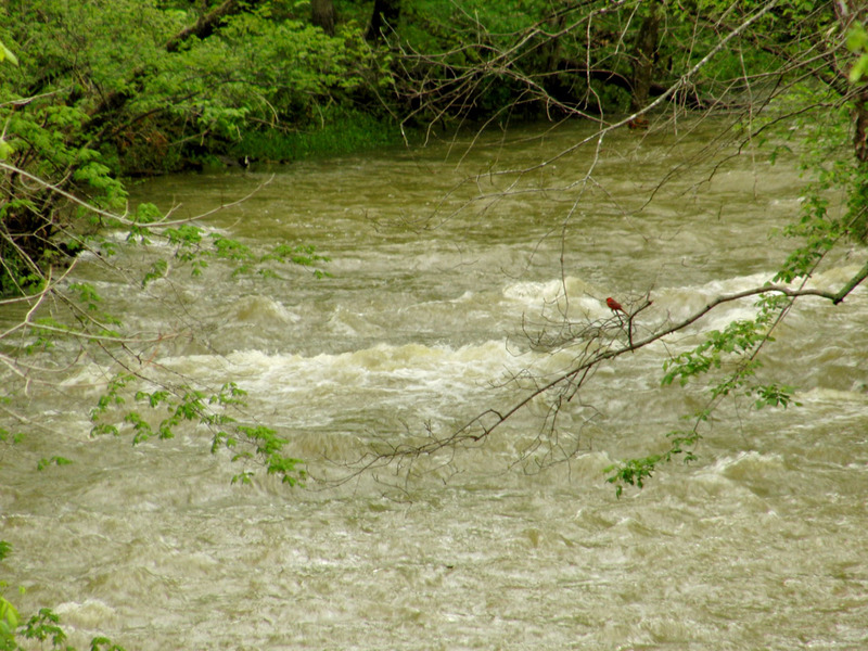
Looks like a nice play wave. The strainer wasn't far from it though, maybe 200 feet.
Apr 27, 2011
A diagonal ledge
Apr 27, 2011
A very small surf wave at this level, and at low levels it looks like a small ledge from what I can remember.
Apr 27, 2011
It isn't a mandatory portage, but it could be one day. Just go left to get around it.
Apr 27, 2011
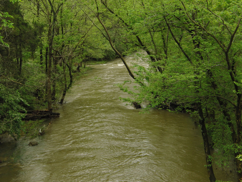
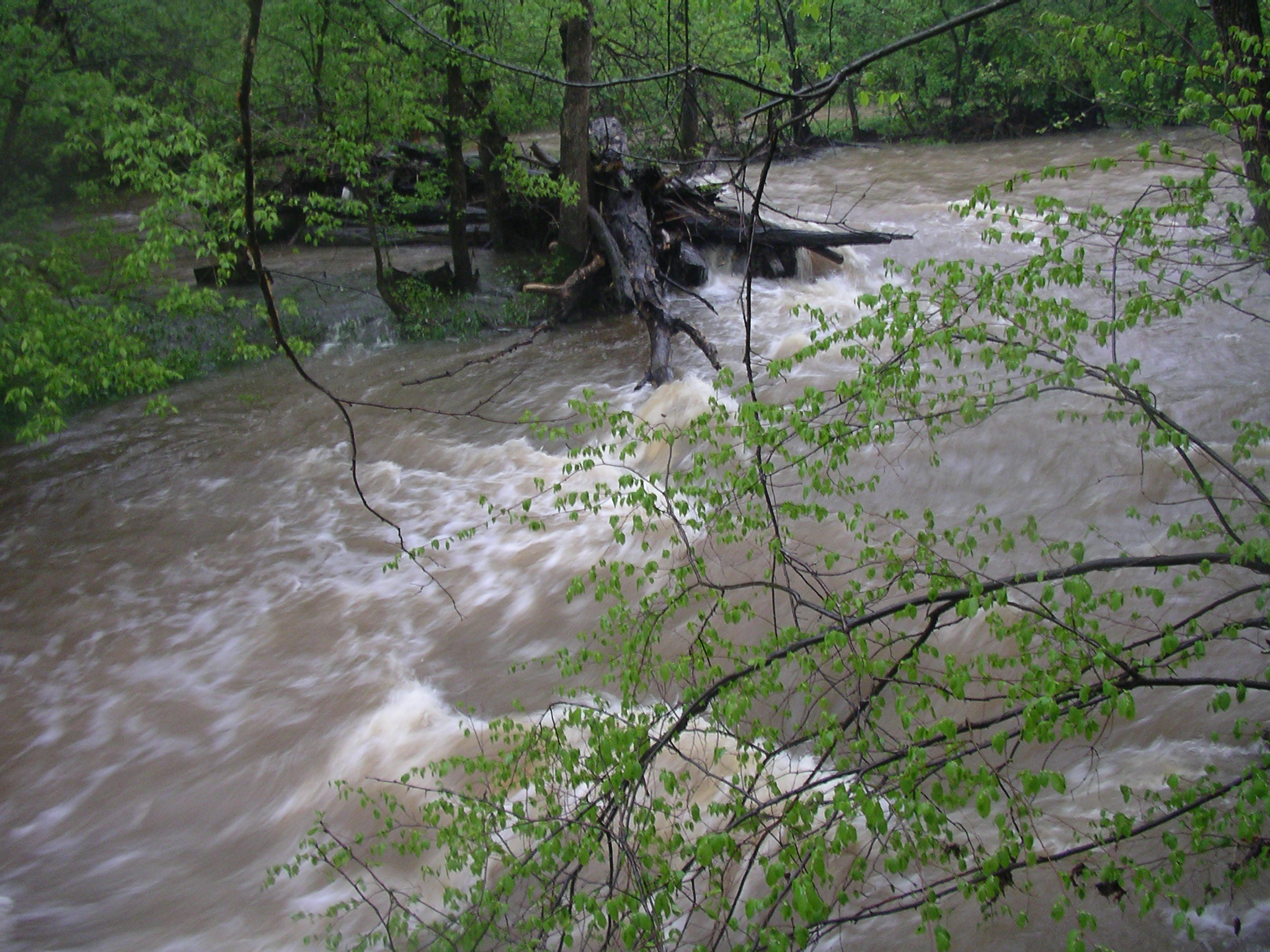
This is why running upper Cedar Creek at high water is bad for your health. Then again none of the drops are so steep and the banks are not so confined, that you wouldn't be able to pull over and scout stuff like this. This photo was taken when the gauge said 2.1 feet and going down. If it was at 2.1 feet and going up then it would most likely have been higher here since the USGS gauge is about 3 miles downstream.
Apr 27, 2011
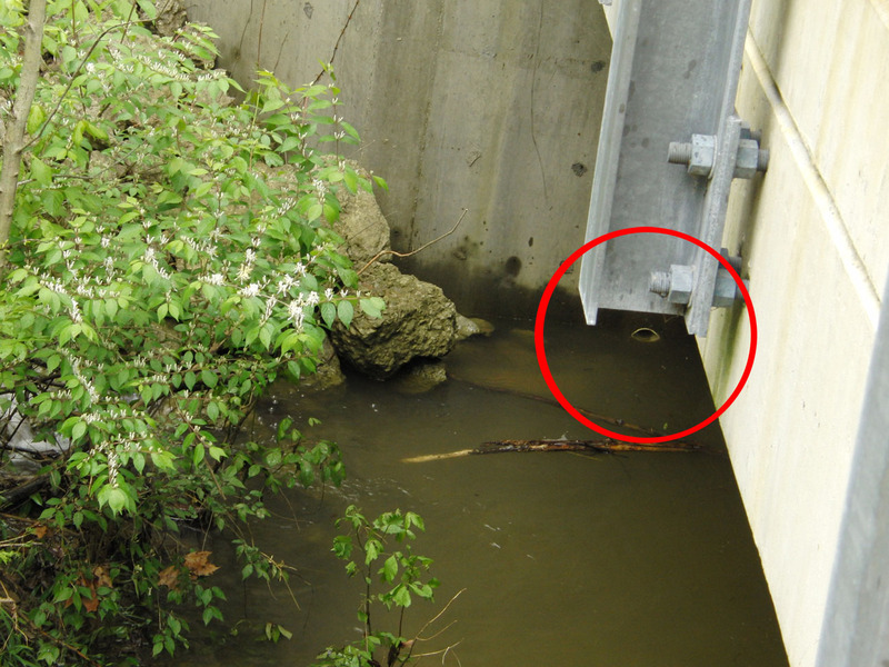
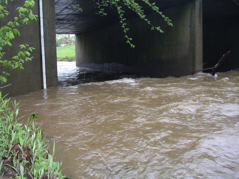
You can use this white pipe under the bridge as a gauge for upper Cedar Creek. It's at Cedar Creek Road (near Johnson School Road) on the upstream side of the bridge, river left. This photo was taken when the gauge said 2.1 feet and going down. If it was at 2.1 feet and going up then it would most likely have been higher here since the USGS gauge is about 4 miles downstream.
Apr 26, 2011
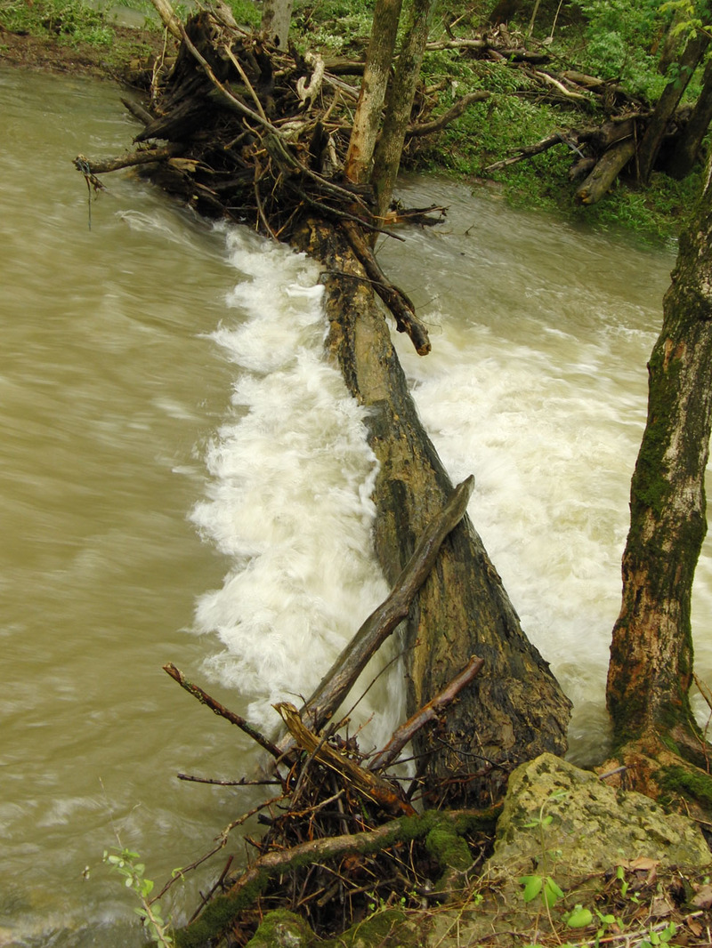
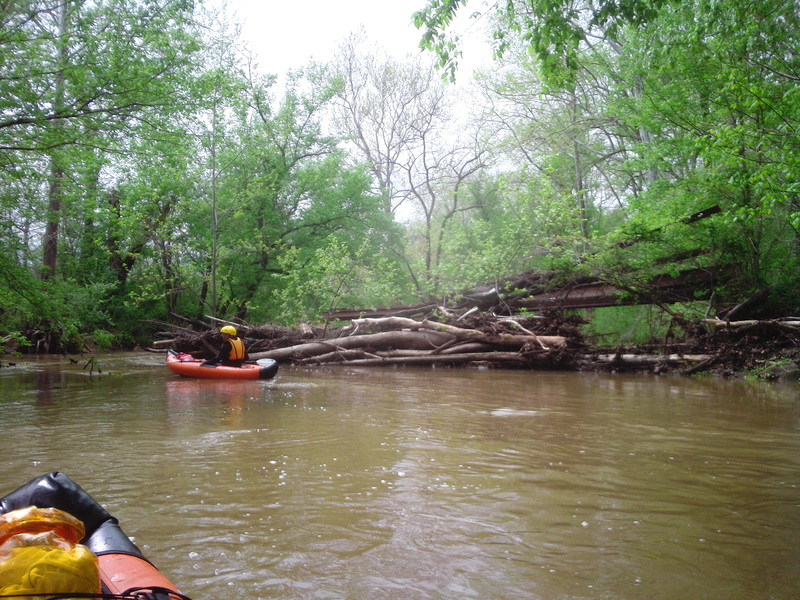
There is wood on river right during the drop as seen in the photo.
Apr 26, 2011
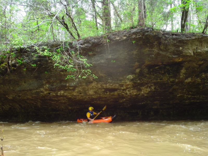
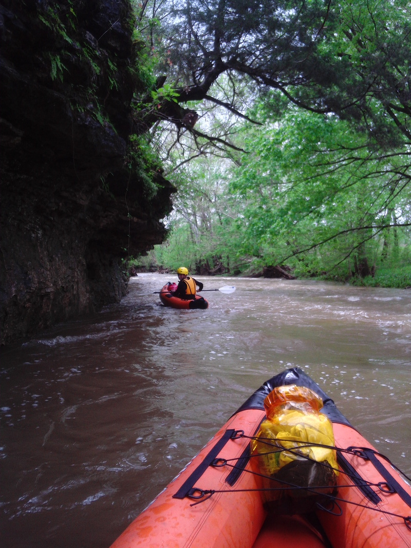
This is the rock shelter you can paddle in to after The Cove Rapid.
Apr 26, 2011
This is the one that you just go river left and you don't have to portage.
Apr 26, 2011
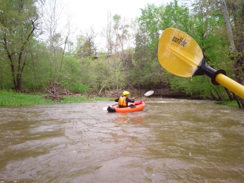
Me trying to surf the second wave on Roostertail above the roostertail.
Apr 26, 2011
This is the first boulder of Double Boulder.
Apr 26, 2011
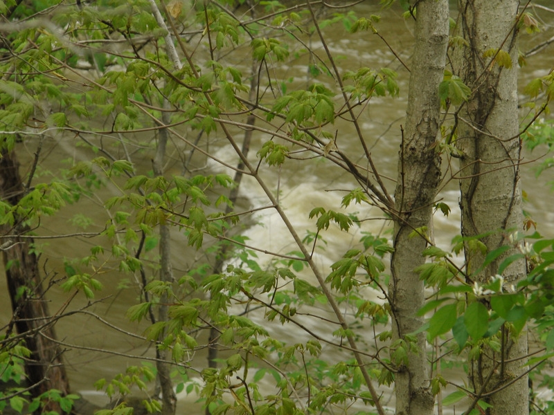
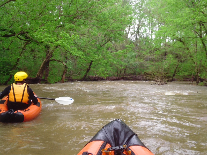
Just some waves on cedar creek
Apr 26, 2011
Staring upstream at one of the boulders on the scenic section. It might be Double Boulder but I'm not sure.
Apr 26, 2011
On the left you can see a gauge; this is not the right gauge, use the one on the other side of this bridge on river left.
Apr 26, 2011
First is a rapid we hit after Thixton and then it's me surfing the second wave at Roostertail rapid above the roostertail.
Apr 26, 2011
This is one of the drops where a rock is in the creek, but this is one of the smaller rocks, some are much bigger.
Apr 26, 2011
This is the second boulder of Double Boulder
Apr 26, 2011
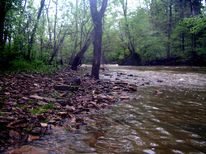
Just some great scenery on the scenic section
Apr 25, 2011
1.65 feet
Apr 25, 2011
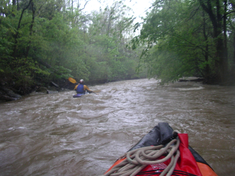
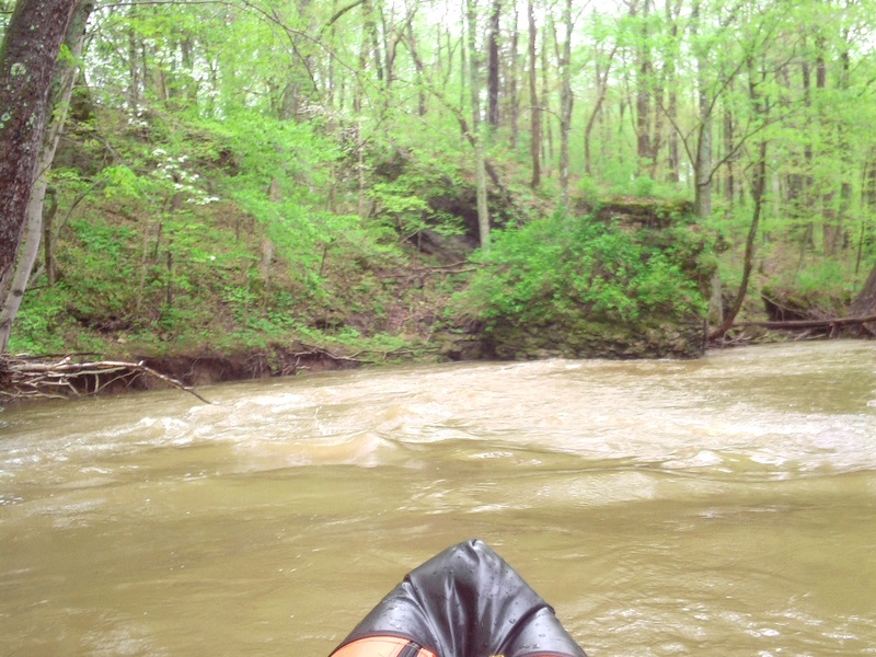
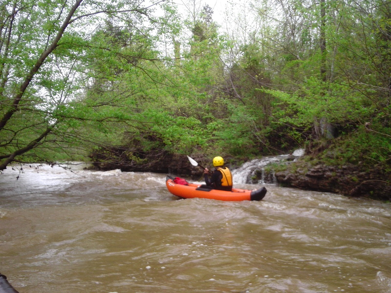
Just getting ready to hit Turtle Rapid
Apr 25, 2011
You can see the limestone wall feature capable of messing up your line right in front of me to the right.