Goulais
North of Searchmont
| Difficulty | III |
| Length | 6.4 mi |
| Avg Gradient | 15 fpm |
| Reach Info Last Updated | March 21, 2026 |
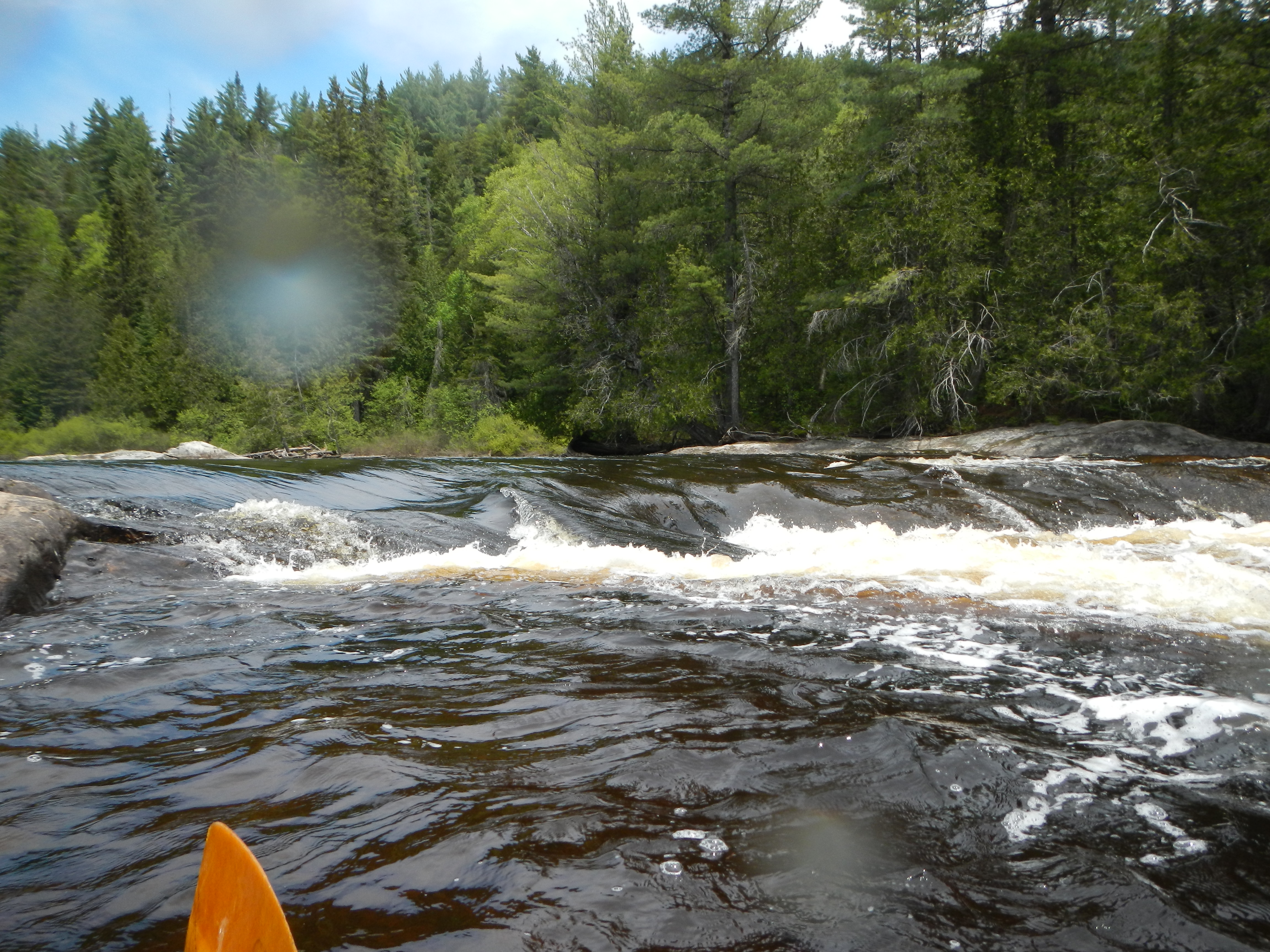
The Goulais is a fun class III river with a ledge and pool features and some I and II rock garden. It is mostly runnable in the spring.
Goulais River gauge, Canadian Real-Time Hydrometric Data
DIRECTIONS
The put-in is located at a bridge that crosses the river.
First drop on the river after leaving the bridge. You can go either river right or left of the river wide island, but right is a bit shallow with about a 4' drop and a hard landing. Take the route left of the island. Scout from the hill on the left shore. Run center, then head far left to avoid a ledge.

There is a rock island in the middle of the river; you can go either right or left. Right can be shallow and not too difficult. Left is a drop over a 3 to 4 foot ledge. At tht bottom on the right is a pretty good wave to play.
Very similar to the 2nd rapid; a rock island in mid-stream and you can go either right or left. Right is shallow over a series of small drops and left is a 3 to 4 foot ledge.
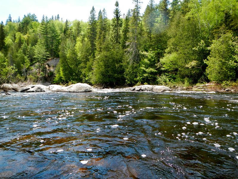
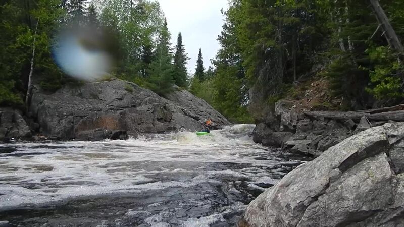
Just below the pool after the 3rd rapid. Mostly rock garden, which can be river scouted.
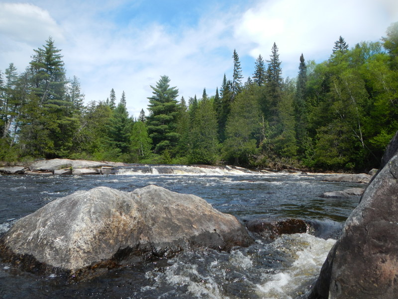
There is a mid-river 'island', but at normal flows there is no water going river right. The river is headed toward the right, then takes a sharp turn left before a sharp turn right to go over a double ledge. This drop can be easily scouted from the 'island'. There is more than one line to drop down the 6 feet. There is about 200 to 300 yards of white water below the ledge.
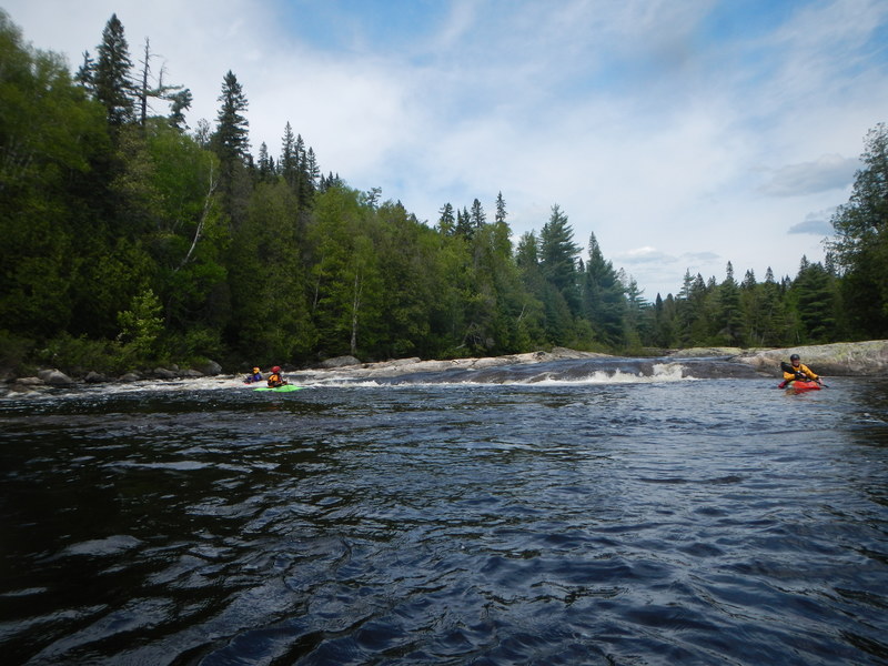
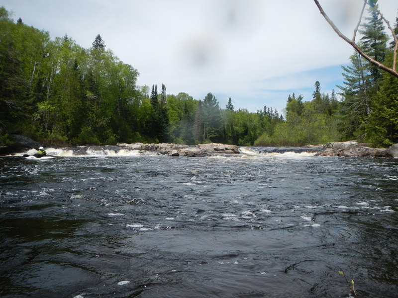
At the bottom of this white water section, the last feature is a river wide slide. River right is a bit different from river left. Regardless, it is a good place, and the last place, to play.

About a mile of rock garden is below the last ledge. A lot of fun at higher levels and a pain as the river goes down.
About a mile upstream from the bridge take-out, on river right as the river bends left, the road is just on the top of the bank. It's about a 10' climb up the bank. There is also a small campsite there often occupied by the locals. There is no white water from here to the bridge take-out.
Jan 5, 2017
September 28th 2016. Whitman Dam road IS repaired but a bit rough from Mile 19 to put -in @ 23.0. Ran upper Goulias section. Gage reading 7.73 and falling. Put in @ around 1:00 pm, a bit late as the final stretch of the river which is a VERY fun rock garden we were looking straight into the sun and had quite a few collisions with surprise rocks. Overall Very fun and doable but would like a bit more water. A few of the 2 stage drops were a bit boney on the second drop. Took out where river touches road at small camp spot on river right. Didn't take very good notes on each feature as it was our first time running this section.
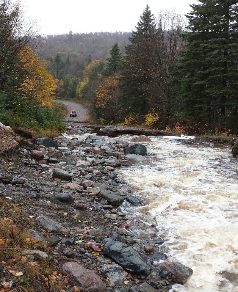
Oct 9, 2014
Road washed out at 23.7 miles, which is above the put in. The road is also washed out below the put in at 19.6 miles.
Jun 9, 2013
Good level. On the lower end of perfect. There were a number of good play waves in addition to the ledge features.