| Difficulty | II-III(IV) |
| Length | 19.6 mi |
| Avg Gradient | 23 fpm |
| Permit | None required |
| Gauge | Pecos River Near Anton Chico, Nm |
| Flow Rate as of 1 hour | 0 cfsbelow recommended |
| Reach Info Last Updated | July 15, 2017 |
River Description
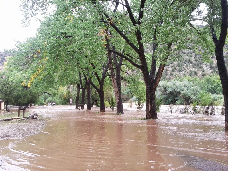
A beautiful run through a narrow, steep gorge. It's seldom runnable, but well worth it. Information on the geology of the area can be found at the NM Tech Geoscience info page for Villanueva State Park
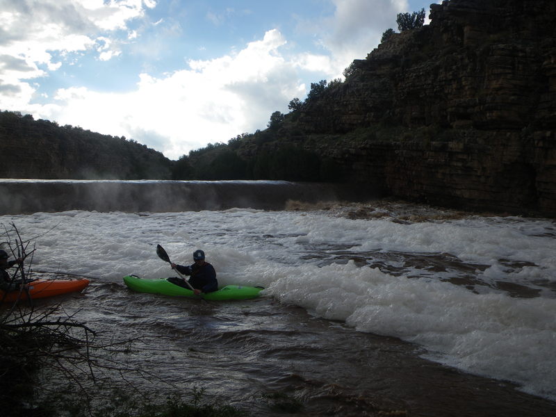
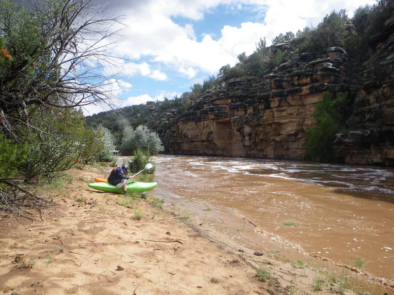
Rapids: There are many class II and III rapids with a few class IV depending on flow.
Land Ownership & Permissions: NM State Parks, Santa Fe National Forest, USFS & Private
Length: 19 miles
Recommended Craft: Kayaks, canoes, and small rafts at all water levels for ease of portaging.
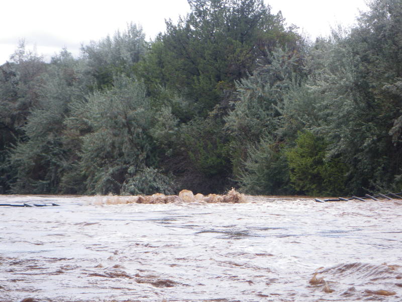
Season: When the snow's melting after a good ski season, or after really heavy rains. Boaters with experience on this run recommend 700 - 800 cfs at the Villanueva gauge as a minimum. Evidence of the existense of this guage is elusive. The Pecos guage at Pecos is about 45 miles upstream, and the Anton Chico one is roughly 10 miles downstream. Be aware that the Tecolotito does come in just above the Tecolotito bridge and can add a modest amount to the guage an Anton Chico.
Access:
Put in:
- Villanueva State Park
- El Cerrito a few miles down. (The road from Bernal to El Cerrito can be impassable in heavy rains)
- Take Out: Tecolotitto bridge
It's a good practice to talk to the locals about where they recommend parking. It's wise to keep the group size small to minimize the need for parking.
Hazards:
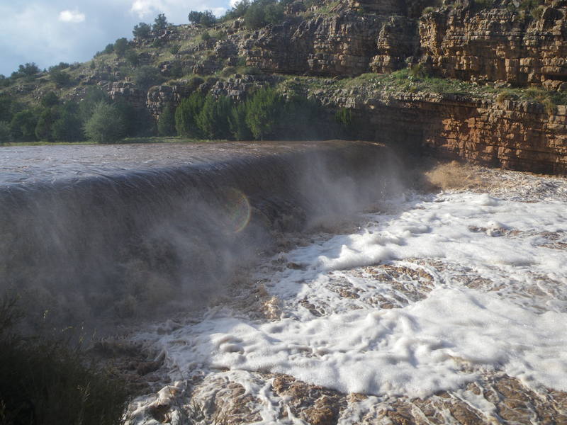
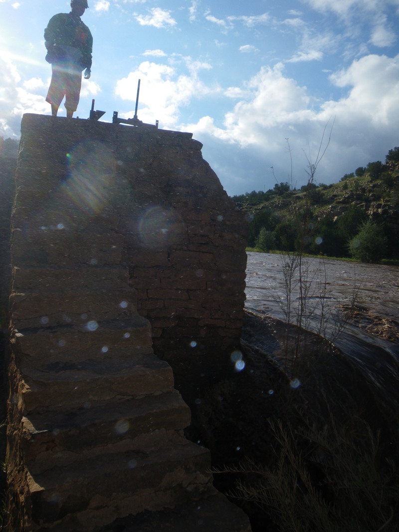
There are two large diversion dams. One is about 2 miles below Villanueva State Park, a mile above El Cerrito, and the other is right as the canyon starts to open up roughly a mile before the Tecolotito bridge.
At flows high enough to cause the status of the guage at Anton Chico to report 'Flood Damage', there were roughly 5 fences across the river that still were somewht above water. Many more were out in the river
...River Features
Put In
Access PointDistance: 0 mi
Take Out
Access PointDistance: 19 mi