French Broad
9. Barnard to Hot Springs (Section 9)
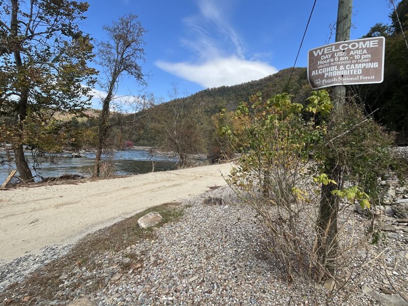
Oct 23, 2024
A group of outfitters and river managers / advocates paddled Section 9 to assess rapid changes, access needs, and debris clean up needs, with US Forest Service approval. Here is what we learned:
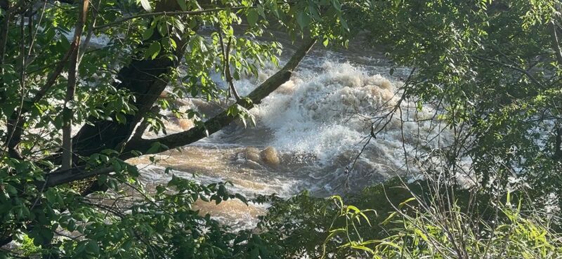
The good news is that the rapids themselves are largely unchanged, especially upstream of Stackhouse. Paddlers will notice more or less water going in certain channels compared with before Hurricane Helene (September 2024), and some additional line options, but all the old lines are still there. The runout of Pit Stop is a bit different but obvious. Windy Flats is a bit rockier here and there. The holes in Frank Bells are a bit steeper and the entrance rockier, but the line is the same.
We saw plastic conduit stuck and trailing downstream in several rapids including Ledges, along the left bank of Sandy Bottom, in the left slot of Pit Stop, and a couple other spots. Other than that the river itself appeared very clean.
The river has a very different visual feel. Many islands have had all the trees and soil sheared off or are gone entirely including much of the island at Frank Bells, the banks are more exposed rock than forest now, there are big beaches and cobble bars, the railroad is much more visible and in need of repairs, and the river generally has a much more open, sunny, look and feel.
The amount of trash on the banks is epic. Silverline plastic's PVC pipe and conduit litters the banks and is wedged in massive debris jams that also includes a lot of lumber and other human debris, and there is plastic trash hanging from nearly every tree along the bank. Water quality seemed very clear but surely had high bacteria content.
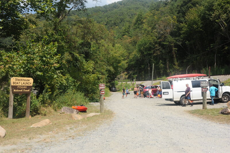
Barnard and Stackhouse access areas are both damaged and closed, but appear to be fixable with a moderate amount of effort. For now, while the river itself is good-to-go for the most part, access remains the limiting factor to getting back on FB9 and paddling here is not recommended yet. Repairing these sites will be a high priority to get people back on the water.
Aug 30, 2024
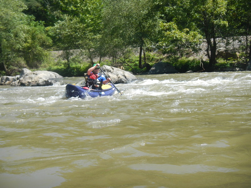
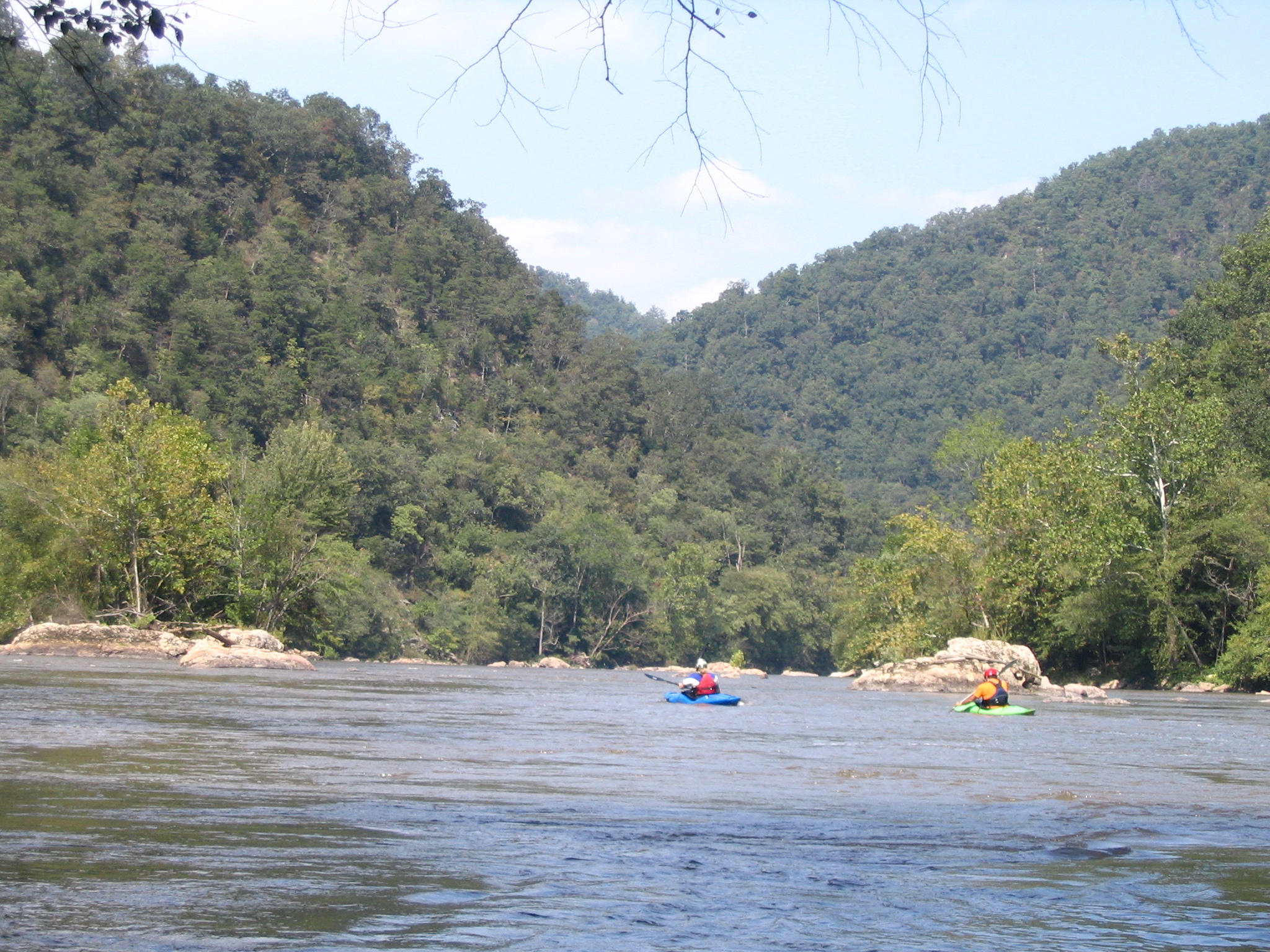
American Whitewater staff and board were in Brevard for our annual board meeting. After the meeting several of us got out for a fun morning on the French Broad. Flow was low but we had a good time. We had a 14' raft along that got stuck a couple times.
May 11, 2024
May 20, 2023
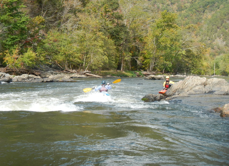
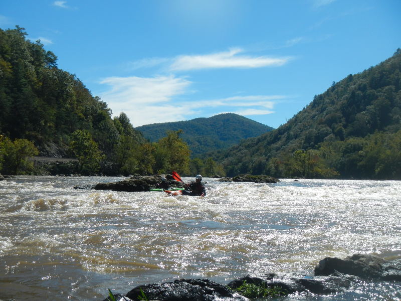
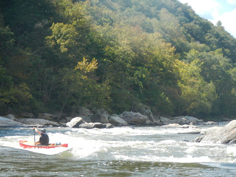
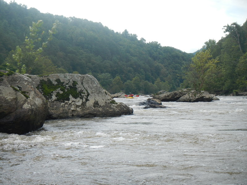
Photos of Pitstop and Kayakers Ledge
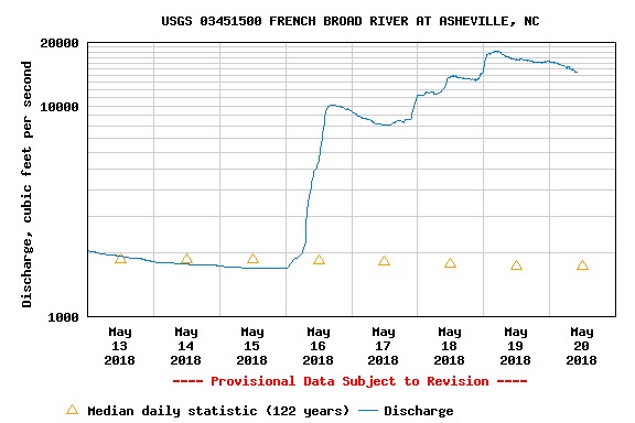
May 20, 2018
French Broad River following the heavy rains of May 2018
May 30, 2017
Right Side of PillowCase OPEN but Use caution. Approaching the right side line in Pillowcase, above Big Pillow. On weekend of May 13-14/2017, there was a log across the entry chute at 2700 right at water level. Put there by flows of 11,500 the week before As of 5/26 that log has been removed - pulled over to river right side. Currently the chute on right side at PillowCase is OPEN, but use caution if flows go over 10,000 again - there are several large trees in the river in the first two miles of Section 9 that could wash into that gap.
Oct 16, 2013
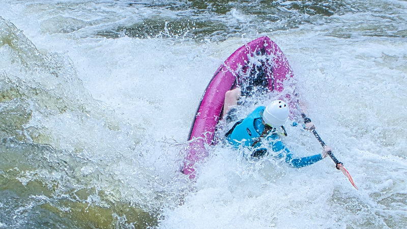
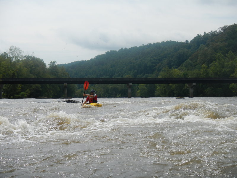
Susan S. taking the main line and punching the small holes at 1500cfs.
Oct 8, 2013
Larry A. Running Rebar rapid. Just upstream from his position is a modes (2 ft) drop with a couple of diagonal holes which can be punched or avoided.
Oct 2, 2013
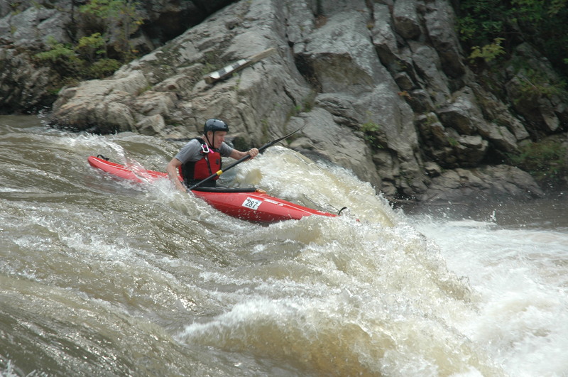
Rich at Big Pillow - Flow was 1640cfs (med-low) The rock for which the rapid is named is approximately in the center of the photo. A little of the top of it is out of the water.
Sep 27, 2013
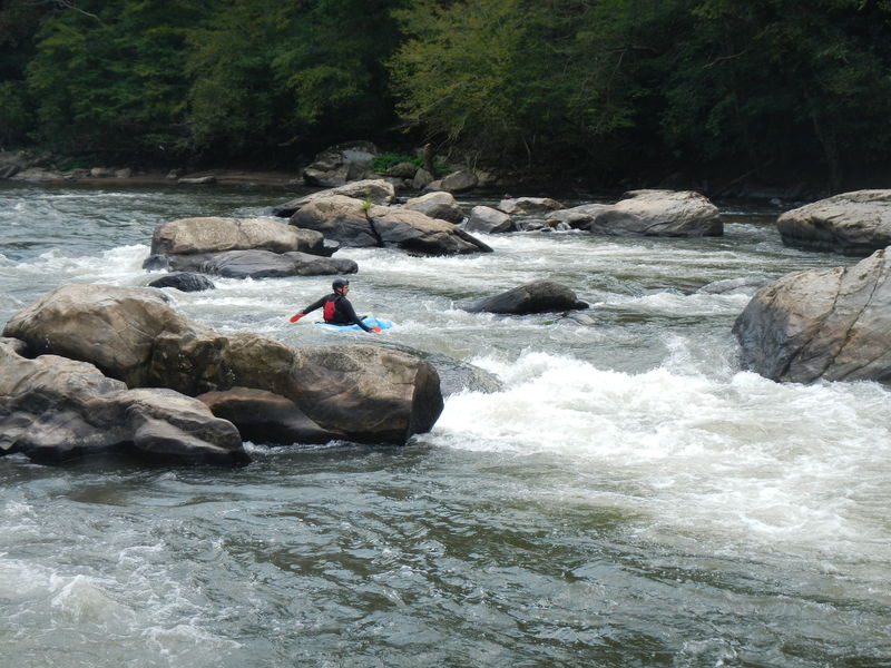
Wendy A taking the right chute at Pit Stop.
Sep 27, 2013
Marlow D. surfing the top wave at Sandy bottom.
Sep 26, 2013
Pelle on line through the largest drop in the Ledges @ 1850 cfs.
Sep 26, 2013
Rodrigo, John at Stackhouse Rapid at 1850 cfs
Sep 26, 2013
John S at Swimmer's rapid @ 1850 cfs
Sep 26, 2013
Tom A. a little more than half way through the maze.
Sep 26, 2013
John S about to make a right turn and finish S turn rapid @ 1850 cfs.
Sep 26, 2013
Wendy A. at Maze rapid on FB9 @ 2500 cfs.
Sep 26, 2013
Tom A. at Beginning rapid on French Broad, section 9.
Sep 26, 2013
Cara on a good line well to the right of the Pig Pillow rock 2 1850 cfs.
Sep 26, 2013
Daniel R works his way through the Maze @ 1850 cfs.
Sep 26, 2013
Popular spot for rafters and student in paddling camps to jump off the rock into a pool on FB9, just below the Maze and above Turtle Rock.
Sep 26, 2013
Viki A @ Slides rapid at 2500 cfs
Sep 26, 2013
Tom A passing to the right of the turtle's nose.
Sep 26, 2013
Pelle on the tongue at the largest ledge @ 1850 cfs
Sep 26, 2013
Rodrigo, going past Decision Rock in Pinball rapid @ 1850 cfs.
Sep 26, 2013
Daniel R going past Decision rock in Pinball @ 1850 cfs
Dec 5, 2011
Kayaker's Ledge is famous as the first drop negotiated by many new paddlers
May 23, 2011
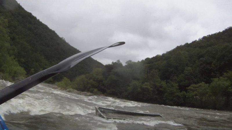
Here is that persky Jon Boat that has been slowly moving down the river
May 19, 2011
The jon boat had been making it's way downstream for a while. It is no longer in Kayak Ledge and we've seen no sign of it all the way to Hot Springs.
Apr 30, 2010
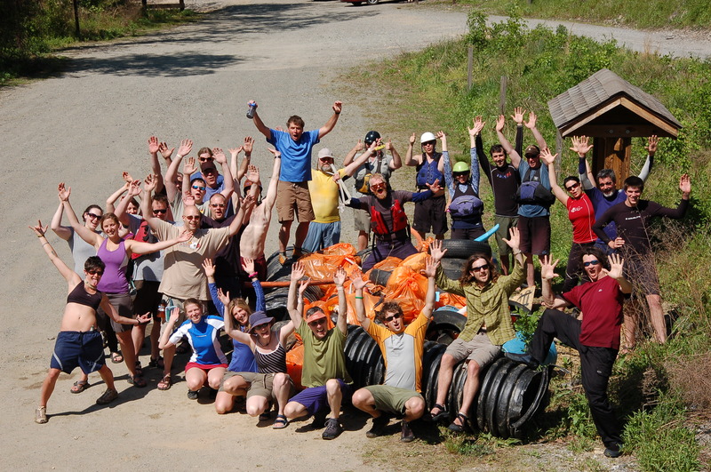
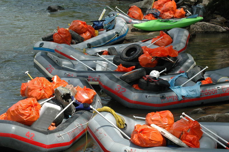
French Broad River Clean Up
Sep 22, 2009
Gonna try to get some pics of the 15k level today
Sep 22, 2009
Thanks for trying to get some pictures out there today. The river was awesome. I always heard that Kayaker's Ledge develops a terminal hole above 10k but it had a good seam in the middle at 14k that we had no problem with. It felt like Iron Ring on the Gauley, complete with a huge hole/wave combo below. Can anybody verify the terminal hole at 10k, or is this urban legend? Thanks
Mar 28, 2007
When running shuttle, you need to turn right on to walnut street, NC 1150 in order to reach 1151.
not positive on the name being walnut, but you should be able to find it. Just remember that 1151 isn't right off of the main road and you need to turn right onto another road first.
Apr 14, 2006
I would disagree with 'S-Turn' being a class 3-. It may have class 3 consequenses (though there is a very long, flat recovery pool afterwords), but it is an easy rapid.
Dec 22, 2005
As for the Ledges, I would say that the 3rd ledge (the biggest ledge) is the best playspot, but the other holes are not bad too. I also like the sandy bottoms wave at the bottom of the rapid.
Aug 17, 2004
I wish I had something to read the mileages from, but the rapid itinerary as far as I know is:
- Beginner's Rapid (Just below the put in railroad tressel) ~ class 2
- the Slide (long rapid, ran on river left, ends in a short, broken ledge) ~ class 2
- the Maze (an even longer rapid) ~ class 2+ or maybe 3-
- Turtle Rock (just below Jump Rock and it's big pool, ran on river left). ~ class 2-2+
- S-turn (Very short but a little tricky. A swim here can result in swimming Big Pillow rapid which
itself tends to give long swims. Stroke hard for the river left bank if you have an out-of-boat experience :-) ) ~ class 3-
- Big Pillow / Pillow Rock rapid (scout from the river left bank, shortest scout-trip you'll ever do. Basically, stick your boat on the beach and stand up. Run the top hole ('Pillowcase') if you like, or skirt on the right. Avoid the big rock w/ the pillow by going to it's left.) ~ class 3
- fun eddyline / weak surfing spot below Big Pillow
- Swimmer's Rapid (an excellent and Strong eddyline, raft co's have let their folks swim this in the past but there are rocks in there and it can be a little shallow. A couple hundred years of flat water is after this where rafters are known to swim) ~ class 1-2-
- Sandy Bottom (Often a big, fun surfing wave! If you flip, roll fast or tuck hard and get ready to be run thru some meat grinder action. Run on river left. Makes for a great lunch stop. ) ~ class 2+
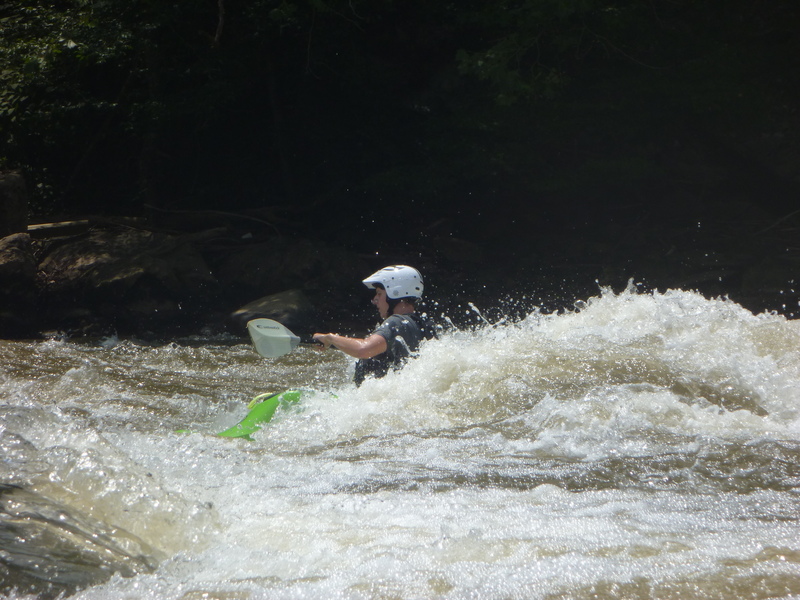
- the Ledges (about 3 significant ledges w/ what are normally mild holes. Look for good playspots in here)
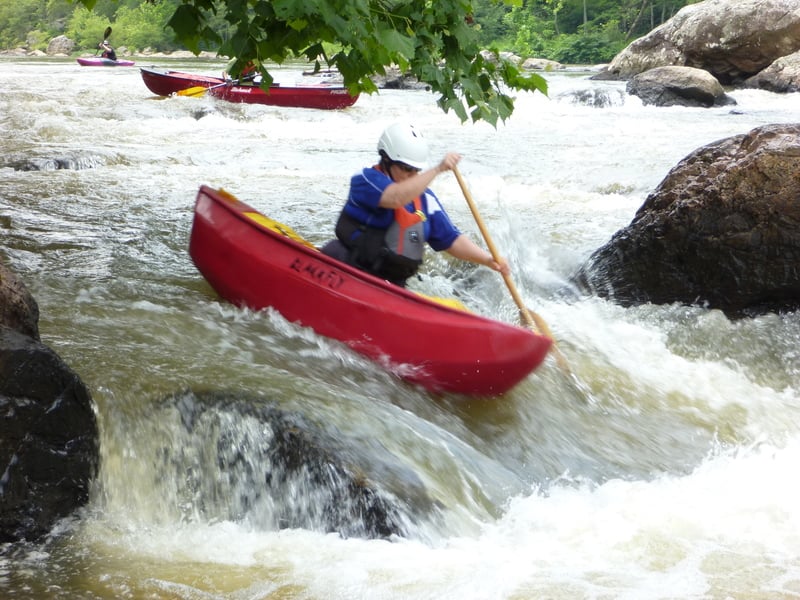
- Pinball/Pitstop (Look for Bumper rock in the center of the river. Nice eddy line around both side of it and usually a small, glassy wave 15 years above it. Run starting far river left for Pinball rapid (fun!) or run far river right for a milder rapid with nasty undercut potential that looks really neat.) ~ class 3- for Pinball, 2+ for Pitstop
- Rebar Rapid (look for rebar in the center of the rapid from where a low head dam was years ago (1920's?). Run left. Watch for big hole at medium/high flows (easily avoidable)) ~ class 2+
- Stackhouse Rapid (plenty of lines here. Watch for rocks.) ~ class 2+-3-
- Stackhouse takeout
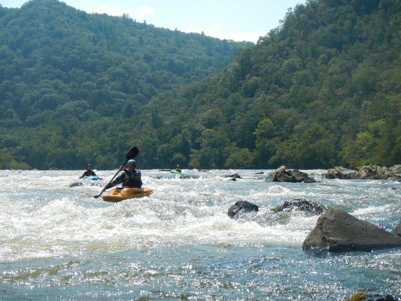
- Windy Flats (thousands of miles of shallow, flat water. Class 4.9 for technicality and sheer endurance needed to get thru this.)
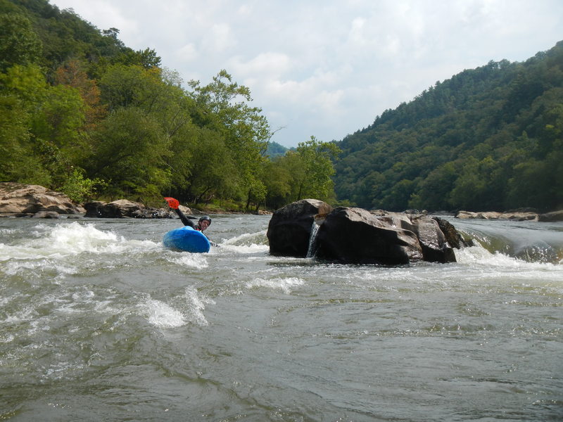
- Kayaker's Ledge/Needle Falls (watch for the Needles on the mountain-island in the center of the river. Go the right side of the island for Kayaker's Ledge. Scout from river left. I can easily imagine this being one bad hole to be stuck in a higher levels. Run far right which works out well if you clear the hole, or down the tongue which almost guarantees a quick run thru the hole, or boof far left and land in that eddy. You can portage and even paddle back up to the 'sneak' on river left of the mountain-island. I often run this, then portage back up to run the sneak b/c the sneak's so much fun! Big wave train!) - class 3
- Frank Bell's (now called class 4, I've heard some guide books have it listed as class 5. It's a big rapid w/ some big holes. Hard to scout too. Run river left for a fun boogie water sneak and watch out for crazy water below the rapid.) ~ class 4
Oct 2, 2002
Just a little note about Kayaker's
Ledge: This rapid becomes terminal
at about 12,000 cfs and up. Also, for
anyone thinking of running it right now,
Kayaker's has what looks like a nasty
strainer about thirty to forty yards below
it in a section called 'Lover's Lane'.
The strainer is two large, poison ivy
covered trees that block the whole
channel. Just something to keep in
mind. Oh, and Frank's starts to wash
out at higher flows, but if you catch it at
about 10,000 cfs or higher, you'll see
'Seldom Seen', which is a massive
(I've heard as big as twenty feet)
reactionary wave formed by the
meeting of the two currents from either
side of the island. It's about fifteen
yards past the end of Frank's, if you get
a chance to run it this high.
Oct 17, 2000
This section contains two substantial rapids. Kayak Ledge(III)and Frank Bell's rapid (IV). Both of these rapids can be avoided without portaging.
Jan 1, 1900
Boof!
Jan 1, 1900
2009 French Broad River cleanup
2009 cleanup @ Stack House