Haw
1. Route 1545 (Chicken Bridge) to US Route 15-501 (Bynum)(Upper Haw)
December 3, 2014
| Reporter | Lewis Ketron |
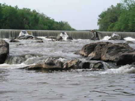
Ran 11/28/2014 @ ~1800cfs, 5.5ft. in a dagger canoe. Most rock gardens washed out at this level, plenty of water over 'sawtooth ledge'. Trip took 2hrs, lot of steadily moving flatwater.
Have run at 3 ft, (~3-400cfs?) scraped a lot and a lot of maneuvering to get through, but doable.
The bank at the takeout appears to have washed enough to drop some trees across the entrance where the sluice gate is. I didn't like the look of it and took out at a spot about 100 feet farther up, where the trail comes to the bank.