Haw
1. Route 1545 (Chicken Bridge) to US Route 15-501 (Bynum)(Upper Haw)
September 27, 2016
| Reporter | Cinc |
I kayaked this stretch from Chicken bridge on Sunday Sept 25 2016 I believe the water level was just above 3. If it was much less I would have had to drag my kayak over lots of rocks.
I put in under the Chicken bridge. For the first part it was pretty slow moving but scenic.
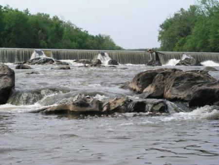
The second part was full of rocks and small rapids and was pretty fast. This was a fast moving and fun section to paddle. After the section of rocks the river became calm and for a few miles I paddled staying to the left as possible for the portage above the dam. I hugged the shore line as I approached the dam and there is a decent muddy take out to the far left. Total trip took about 2.5-3 hrs
The day before I launched from the new kayak landing on old Greensboro hwy and kayaked to the Chicken Bridge. This was about 3 hrs. Very slow moving.