Haw
2. US Route 15-501 (Bynum) to Highway 64(Middle Haw)
February 16, 2006
| Reporter | Michael Carter |
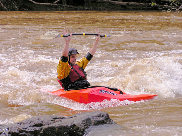
There is a new put-in for the Middle Haw. The new put-in is off of 15-501 upstream of the 15-501 bridge. The new put-in has a path that leads down to the outflow of the Bynum Dam. The DOT removed all the rocks and left the natural rock bed. This opens up a nice section of Class II water between the 15-501 and Old Bynum Bridge.
New section recommended run:
Put-in on river left after dam spillover.
Work your way to center along dam, do not get too close. Go center to river right then center. You should end up near the Bynum visual gauge bridge support rapid.
Once past the Bynum Bridge run as usual.
But for those who have not run this:
The river run is pretty straight forward. Thunder Falls and S-turn (work towards center narrow section between islands) are past the Class II and Flatwater section near the Bynum gauge. There is a Class II drop past this section. Proceeding through more flatwater, you will come to a decision. Do I run the Class I-II on river left or the Class II on river right. River left is fun, at the fork at the end, go right for a Nanty-like little ride. You will have to crossover past the 64 bridge to hit the take-out and/or Lunchstop Rapid approach. River right is like a mini-maze, but fun. There are two rapids, which I refer to as, Mini-Gabriel's Bend and Mini-S-Turn. This section will put you on the right approach for the take-out and/or Lunch stop.
This section is worth the paddle at 1000-2000 cfs. Couple this with the Lower, and I call that a good day.