Haw
2. US Route 15-501 (Bynum) to Highway 64(Middle Haw)

Jun 1, 2020
Paddled on May 25 2020 at about 7000 cfs, and May 30 2020 at about 4400 cfs. Double ducky the first time, and double ducky and old town 15' canoe the second time. No problems getting through and navigating rocks with canoe in these flows and some fun spots.
Dec 23, 2018
Big rapids were really fun. Most of the smaller stuff was washed out.
Oct 15, 2018
Ran it at 4500cfs yesterday! Super fun!
Oct 14, 2018
Fun times🤙 October 2018 post Michael conditions 🏄♂️
Oct 14, 2018
Oct 18 🏄♂️🤙
May 11, 2017
Ran this stretch with a friend who is a new paddler twice last week. The first run down was at ~1000 cfs. It's a good level for a first time paddler, nothing over class 2, but it's quite shallow at that level and we definitely left some plastic on the rocks in numerous places. The second run was after about 2 inches of rain and it was running over 3000 when we put on (about 1.5 on the 64 bridge gauge). This level was much more entertaining with some sizeable wave trains and a couple of class 3ish drops with the last drop being class 3. After these two runs I would definitely recommended this stretch at over 1500. It's undeveloped and very pretty and we saw a bunch of herons and a bald eagle.
Some additional beta from that below, for those who have never run it:
Put in at the 15/501 bridge. From the pull-off, take the right trail over the spillway and down to the small beach. Paddle up towards the dam, not too close though, and ferry out to the middle of the river, around a small island.
Head downstream underneath the bridge and through some splashy waves. You'll then head down through and below the old Bynum bridge.
For all the islands below, with the exception of the final one before the takeout, you can go to either side, but below is my recommendation.
When you hit the first split around a major island, just after the Bynum bridge, head right for a s-turn style rapid, with a little bit of maneuvering required but nothing crazy. Below this you'll come to some small rock outcroppings in which you can go wherever. At the next island after this you can go either way, but I suggest going left. After just shy of a quarter mile you will see some channels running towards river right in between the islands. Head down the channel and you will end up at a bend with a ledge drop with a sizeable wave (3+ ft @ 3k) and then another ledge drop just below that. This is quite a fun splash for novice paddlers and probably the biggest wave on the river.
Head down through some more rock outcroppings and some small islands.
You'll then come a a large island with a large outcropping of rocks scattered across river right. It almost looks like the river ends and shunts completely to the left. But don't go left here as this is the last island and if you do go left you end up below the 64 bridge takeout. Head right through through this maze of rocks and down through the two most difficult rapids of the run. The first just requires some maneuvering around some rocks and small holes (class 2-2+). At 3k, the last drop, which the poster below refers to as mini-s-turn is what I found to be the only legit class three drop, but it's manageable for a beginner/novice and quite fun. You have to maneuver around a couple of rocks and you come to a river wide ledge. The only good way through this is to head far river left around a drop which curves back around sharply toward the center of the river. Hence, mini-s-turn.
This is a fun, fast little drop. My friend had only ever paddled twice and handled it just fine. After that just paddle down to the 64 bridge and catch the micro takeout eddy. See you on the river!
Jan 30, 2011
I would avoid this stretch at anything below 800cfs. Yes, you can scrape down it at 400cfs but it is sort of miserable (did it yesterday). 800cfs would be a minimum level that is fun for newer paddlers and still kind of fun for experienced paddlers.
Jun 24, 2008
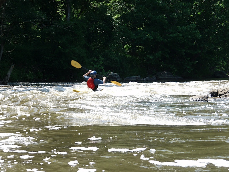
Kevin's 1 min.surf easy
Feb 16, 2006
There is a new put-in for the Middle Haw. The new put-in is off of 15-501 upstream of the 15-501 bridge. The new put-in has a path that leads down to the outflow of the Bynum Dam. The DOT removed all the rocks and left the natural rock bed. This opens up a nice section of Class II water between the 15-501 and Old Bynum Bridge.
New section recommended run:
Put-in on river left after dam spillover.
Work your way to center along dam, do not get too close. Go center to river right then center. You should end up near the Bynum visual gauge bridge support rapid.
Once past the Bynum Bridge run as usual.
But for those who have not run this:
The river run is pretty straight forward. Thunder Falls and S-turn (work towards center narrow section between islands) are past the Class II and Flatwater section near the Bynum gauge. There is a Class II drop past this section. Proceeding through more flatwater, you will come to a decision. Do I run the Class I-II on river left or the Class II on river right. River left is fun, at the fork at the end, go right for a Nanty-like little ride. You will have to crossover past the 64 bridge to hit the take-out and/or Lunchstop Rapid approach. River right is like a mini-maze, but fun. There are two rapids, which I refer to as, Mini-Gabriel's Bend and Mini-S-Turn. This section will put you on the right approach for the take-out and/or Lunch stop.
This section is worth the paddle at 1000-2000 cfs. Couple this with the Lower, and I call that a good day.
Sep 6, 2003
At the request of all other paddlers, Jim 'Stinky' Carroll was shamed into rinsing his under-arms. Even in the nasty Haw, it was an improvement. This small ledge is about half way through the run. It is after 'Thunder Falls' and before 'S-turn'. The level has to be above 1.0' on the paddler's gauge (~5.7' on the USGS) in order to form a wave that you can sit on. It is really a pretty lame wave, but there are no real features on this section so you have to exploit what you have to work with.
Jun 5, 2001
NCDOT is bridge building just below the dam on 15-501. To do so, they have put in a coffer dam just below the existing bridge. Recently this coffer dam was the scene of a rescue (by brave and true paddlers!) where a canoe was broached on a strainer. Far and away the safest place to put on the river for this section is the foot bridge in Bynum. This bridge is described above and is visible about a quarter-mile downstream of the highway bridge. There are also a number of cut trees in the area of the bridge construction, creating strainers. Be aware and use the footbridge. It's just safer, you know?
Oct 16, 2000
This section is known locally as the Middle Haw. It has class II rapids and is more challenging than the Upper Haw, but not as challenging as the Lower Haw.
Jan 1, 1900
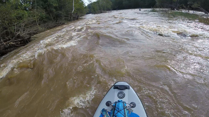
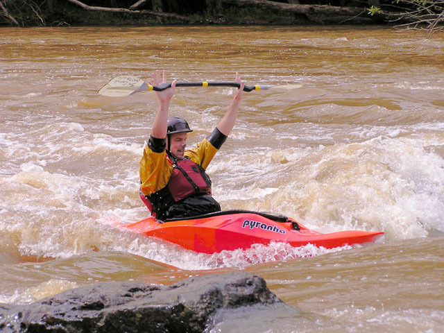
One of the surf waves that appear above 2 ft.
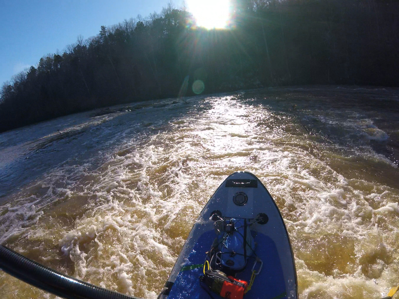
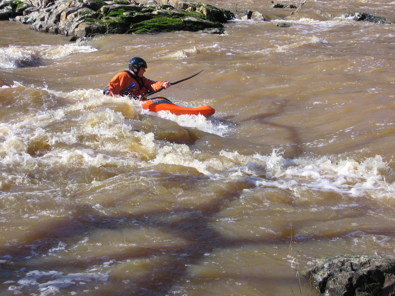
Despite what people say, 65 degree days in January with good water are not that rare here.