Umpqua, South
1. Camp Comfort to South Umpqua Falls

| Difficulty | II-V |
| Length | 6.8 mi |
| Avg Gradient | 55 fpm |
| Gauge | South Umpqua River at Tiller, or |
| Flow Rate as of 56 minutes | 46 cfsbelow recommended |
| Reach Info Last Updated | October 8, 2019 |
Flows: During years with a strong snowmelt runoff, this section can be run down to 600 cfs. If you are relying on snowmelt, make sure you see the presence of a diurnal cycle on the gauge. This section has been run as high as 5,000 cfs from rain, the significant rapids are class V at that flow. 1,000 cfs is a low flow if the stream is being fed by rain, 2,000 cfs is a friendly flow from rain.
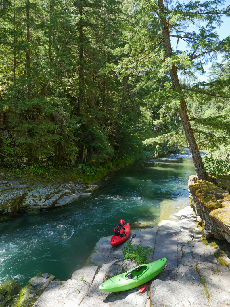
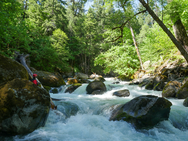
Stream: There is a short walk in from Camp Comfort along a nice trail, this trail ends with a bench overlooking the confluence of the Black Rock Fork and Castle Rock Forks. The confluence of the two forks is where the South Umpqua begins, and marks the put in for this run.
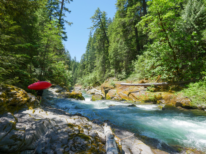
The run starts off relaxing, with class II-III rapids amongst classic Oregon beauty. About 1/2 mile after putting on the stream narrows and it is obvious there is a significant rapid downstream. Eddy out to scout Donkey Kong either left or right, with the portage being easier on the left. This narrow and turbulent drop has been run, but not with style.
The Filter is not far downstream and even narrower than Donkey Kong. This rapid has three narrow chutes, the far right one appears wide enough for a kayak, though a descent of the drop has not been documented. There is an easy portage on the left that ends in a 10 foot seal launch.
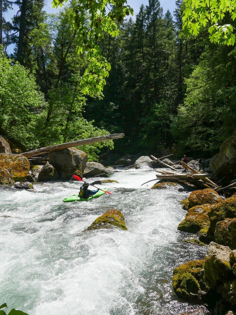
The narrow upper section eases below the filter, and boaters find themselves able to read and run a few intermediate rapids down to the Emerson Creek bridge (under construction in 2017). This bridge marks another put in option for those not interested in the adventurous upper gorge.
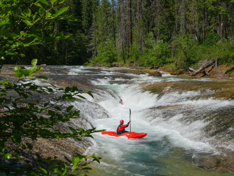
The next notable rapid below the Emerson Creek bridge is a fun, 5 foot ledge that can be scouted on the left. A couple more small rapids exist below this bridge and the old 2823 bridge. Paddlers looking for a short day can take out here.
Downstream of the old 2823 bridge (removal planned for sum
...Jun 6, 2017
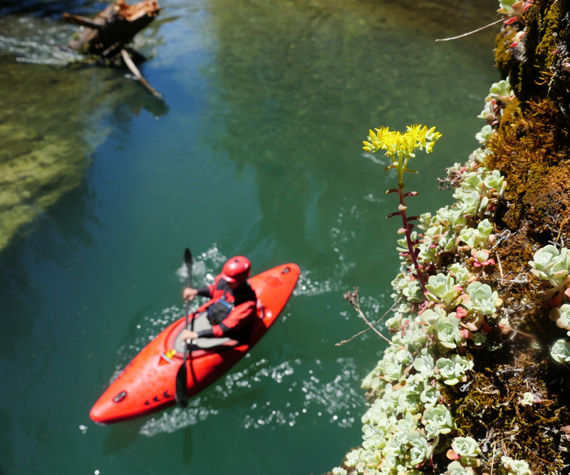
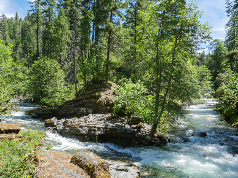
Clear water and spring succulents in bloom along the South Umpqua River.