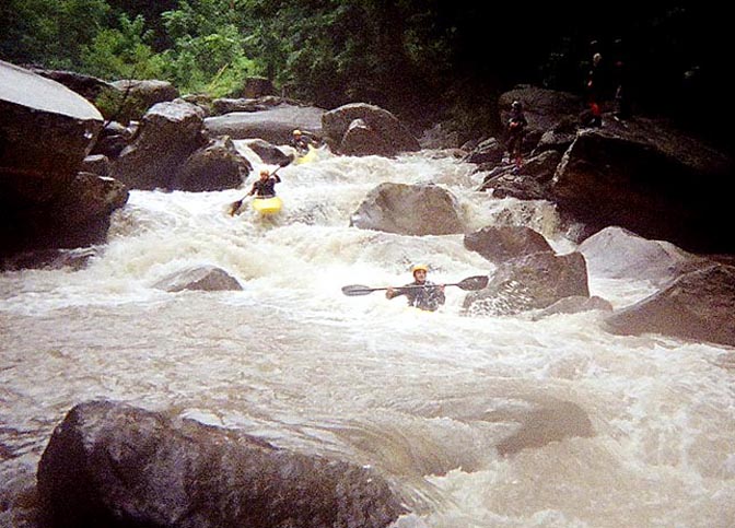
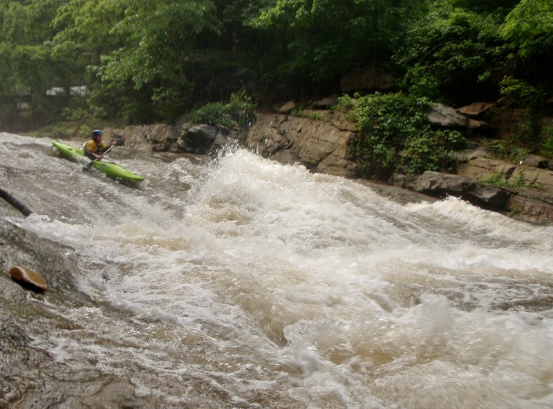
Rocky Broad
2. Lower, Along Route 64/74 to Lake Lure at Chimney Rock
| Difficulty | IV-V |
| Length | 2.8 mi |
| Avg Gradient | 132 fpm |
| Gauge | Broad River at Highway 9 Near Chimney Rock |
| Flow Rate as of 52 minutes | 0.55 ftbelow recommended |
| Reach Info Last Updated | May 9, 2025 |
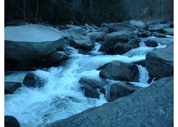
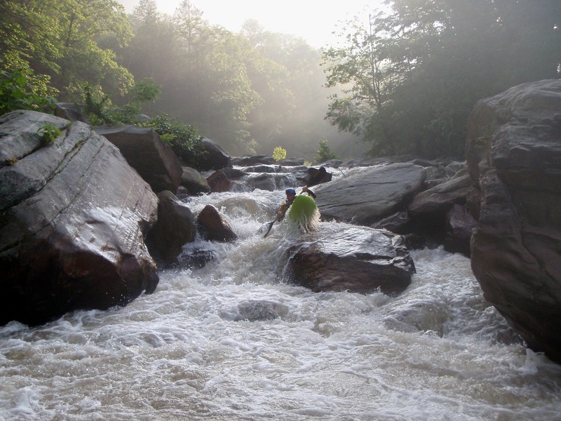
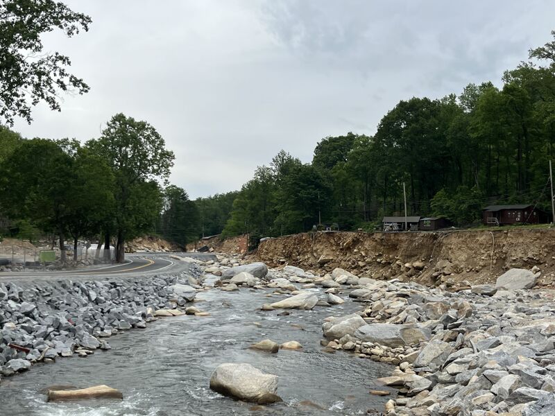
The Rocky Broad reclaimed nearly its entire valley during Hurricane Helene in the fall of 2024, taking out roads, houses, and pretty much everything in its path. The Rocky Broad is now and will always be totally different from the Class IV-V boulder garden run that it once was. It is expected that NCDOT will be rebuilding the road through the valley until sometime late in 2027, and at some point in the interim they will be removing the temporary road and the channels they built in the riverbed. After they are done the army corps of engineers is likely to try to 'restore' parts of the river. Suffice it to say that we won't know what the future Rocky Broad is going to look like for a few years, and hopefully paddlers can help shape that future. Paddling the run in the interim is likely a poor choice given the level of construction and destruction in the area.
Disregard the rapids listed below, which will be replaced when new beta emerges.

Start center, heading left at the bottom of the slide.
Formerly known as 'Roostertail Slide'
Used to have a large rooster tail feature on it before being removed in a flood.
Ugly sieve pile. Portage river right and seal launch in off of the top of the large rock. Site of a fatality. Has seen some descents.
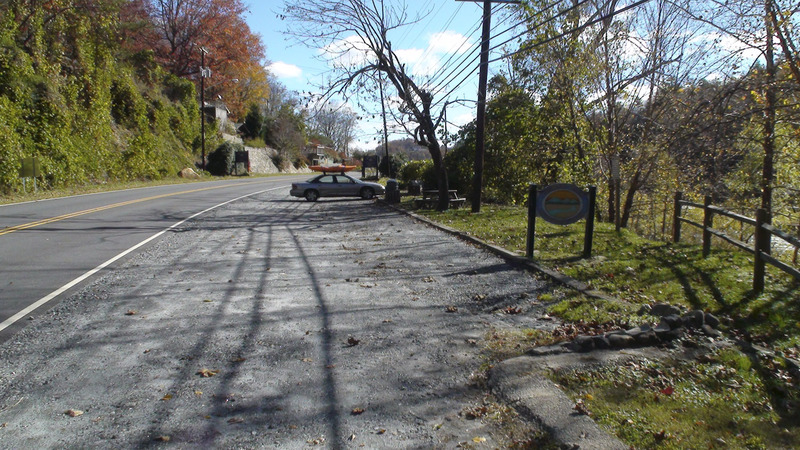
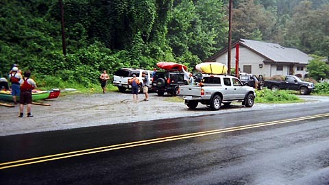
Takeout at Chimney Rock Village River Park
May 7, 2025
American Whitewater and some partners attended a site visit to the Rocky Broad hosted by NCDOT. It was a sobering visit, with so much hurricane damage to infrastructure, people's homes and businesses, and of course the river. We learned about DOT's plans to rebuild the roads in the gorge. There are some sections of the river that appear to still have good whitewater, much of the river was diminished in quality by the flood, and a lot more of the river has been essentially channelized and simplified by NCDOT to accomodate their temporary road, and the permanent road. The temporary road will ultimately be removed, and the river roughly put back in some kind of shape, which may be followed by 'restoration' by the Army Corps. American Whitewater is advocating for restoration of the river during and immediately following the construction project. The river should be restored to a reasonably safe run of similar difficulty as before.
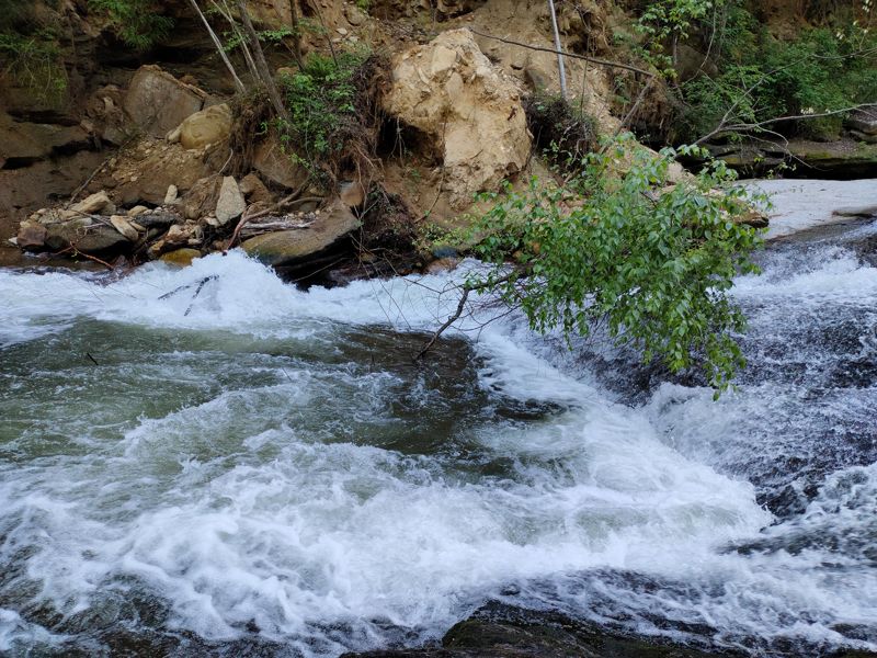
Maybe it goes without saying, but all of the rapids appear to be totally different.
May 3, 2022