| Difficulty | I(II) |
| Length | 110 mi |
| Avg Gradient | n/a |
| Reach Info Last Updated | August 3, 2021 |
River Description
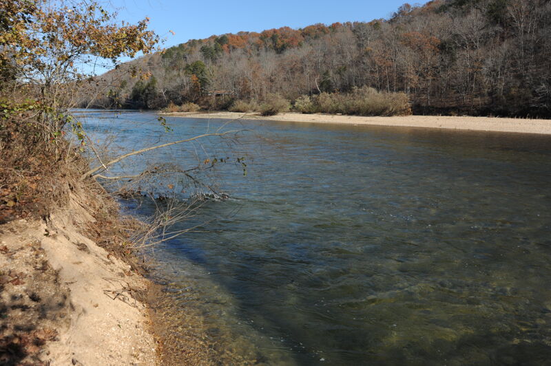
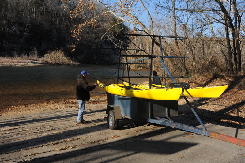
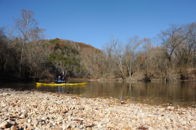
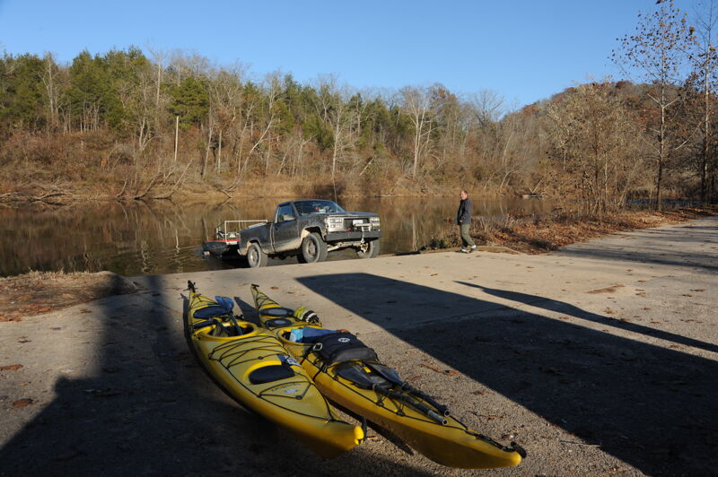
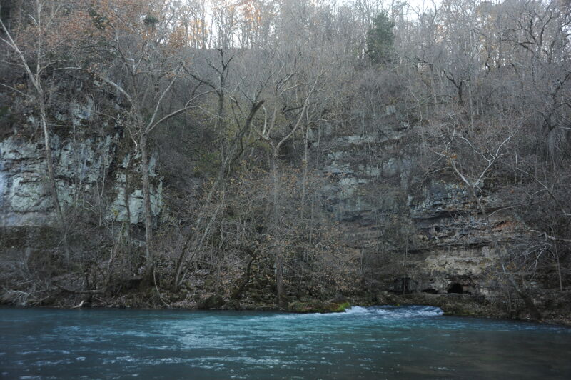
The Current River offers a beautiful run on a spring-fed river that is part of the Ozark National Scenic Riverways administered by the National Park Service. The Ozark National Scenic Riverways was created by an Act of Congress on August 27, 1964, as the first protected river in the National Park system that includes 134 miles of the Current and Jacks Fork Rivers in the Ozark Highlands of southeastern Missouri. A number of access points along the way provide opportunities for day trips or overnight adventures that are popular with canoeists. Paddlers will find more gradient at the top and before the river mellows out to a popular summer float trip.
River Features
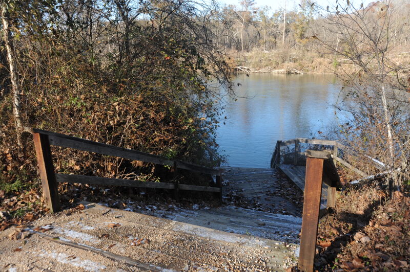
Baptist Access
Access PointDistance: 1 mi
Welch Landing
Access PointDistance: 12.4 mi
Aker's Ferry Access
Access PointDistance: 14.97 mi
Pulltite Access
Access PointDistance: 24.05 mi
Round Spring Access
Access PointDistance: 33.11 mi
Major access point with large parking area and facilities including a campground.
Jerktail Landing Access
Access PointDistance: 46.09 mi
Good intermediate access between Round Spring and Two Rivers Access points.
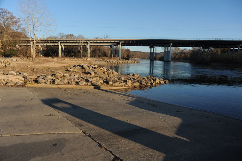
Two Rivers Access
Access PointDistance: 52.18 mi
Major access point where the Jack Fork joins the Current at Two Rivers with a developed campground. The access is just downstream of the confluence on river right.
Powder Mill Access
Access PointDistance: 58.73 mi
Roberts Field Access
Access PointDistance: 62.8 mi
Logyard Access
Access PointDistance: 68.51 mi
Beal Landing Access
Access PointDistance: 69.21 mi
Chilton Creek Access
Access PointDistance: 77.83 mi
The Chilton Creek boat ramp was designed and intended for motorized boat access. The former Pin Oak Campground is located immediately upstream but was converted to a day-use site for outfitters following major flooding in the spring of 2017 that resulted in significant damage and the closure of the Pin Oak Campground.
Waymeyer Access
Access PointDistance: 78.91 mi

This access serves canoes and kayaks. It is a standard put-in for day trips down to Van Buren or Big Spring that are particularly popular in the summer.
Raftyard Access
Access PointDistance: 80.57 mi
Smaller access area and an option for a short trip down to Van Buren.
Watercress Park (Van Buren)
Access PointDistance: 85.06 mi
Major access point in the town of Van Buren within walking distance of Ozark Scenic Waterway Headquarters and visitor center as well as restaurants and lodging in town.
Big Spring
Access PointDistance: 89.57 mi
Popular day use area and campground with river access where Big Spring supplements the flow of the Current River.
Hickory Landing Access
OtherDistance: 98.51 mi
Gooseneck Access
OtherDistance: 105.4 mi
Trip Reports
Log in to add a reportPJ
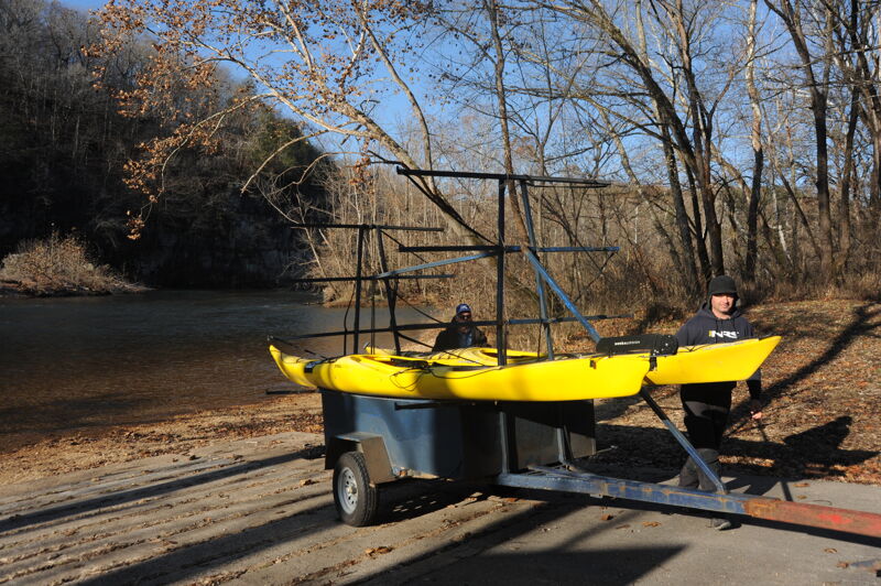
Cedar Grove to Log Yard, October 14-18, 2023 - Paul Janda
Oct 24, 2023
October 14-18, 2023
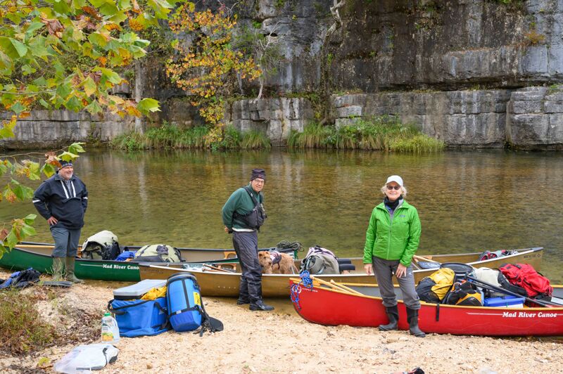
Cedar Grove to Log Yard, 61 miles
Low water, but passable. Gravel bottom. Scrapy.
Class I. Many tight turns.
Requires basic boat control skills to navigate, with nearly every turn featuring class I and avoidable log obstacles. Great fun!
Upper sections have more curves and tighter maneuvers.
The river is extremely busy in the summer, as evidenced by numerous local canoe liveries, with piles and piles of boats in their lots.
Fall is a good time to go, as most other rivers are too low and off season usage is very low..
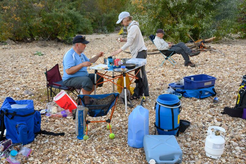
Many, many gravel bars to camp on. Bring a sleeping pad!
I would consider our water levels to be a minimum:
- Montauk - 92 cfs
- Akers - 220 cfs
- Jacks Fork - 166 cfs
- Van Buren - 925 cfs
The river is primarily spring fed, with consistent and reliable flows.
The water is spectacularly clear. Several of the feeder springs kick out over 100 cfs! They are a sight to see. Enjoy the pace by which the river grows and grows, as it picks up water from all the springs that literally permeate the whole area.
It’s a great trip - no development, minimal houses, innumerable riverside camp spots, miles and miles of riffles, fun turns, bluffs and undisturbed forest.
Do watch the weather. The river and its tributary gullies are quite flashy.