Trip Reports
Log in to add a reportPJ
Cedar Grove to Log Yard, October 14-18, 2023 - Paul Janda
Oct 24, 2023
October 14-18, 2023
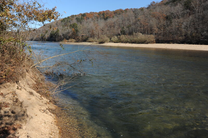
Cedar Grove to Log Yard, 61 miles
Low water, but passable. Gravel bottom. Scrapy.
Class I. Many tight turns.
Requires basic boat control skills to navigate, with nearly every turn featuring class I and avoidable log obstacles. Great fun!
Upper sections have more curves and tighter maneuvers.
The river is extremely busy in the summer, as evidenced by numerous local canoe liveries, with piles and piles of boats in their lots.
Fall is a good time to go, as most other rivers are too low and off season usage is very low..
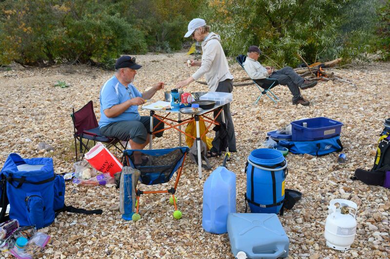
Many, many gravel bars to camp on. Bring a sleeping pad!
I would consider our water levels to be a minimum:
- Montauk - 92 cfs
- Akers - 220 cfs
- Jacks Fork - 166 cfs
- Van Buren - 925 cfs
The river is primarily spring fed, with consistent and reliable flows.
The water is spectacularly clear. Several of the feeder springs kick out over 100 cfs! They are a sight to see. Enjoy the pace by which the river grows and grows, as it picks up water from all the springs that literally permeate the whole area.
It’s a great trip - no development, minimal houses, innumerable riverside camp spots, miles and miles of riffles, fun turns, bluffs and undisturbed forest.
Do watch the weather. The river and its tributary gullies are quite flashy.
TO
Fall Day Trip on the Current River - Thomas O'Keefe
Nov 15, 2019
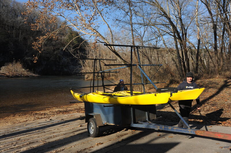
Thomas O'Keefe and Ammen Jordan enjoyed a day trip on the Current River. We camped overnight at Two Rivers Campground located immediately downstream of the Jacks Fork confluence with the Current River. It was a cold night and we had the campground to ourselves on a Friday evening in November. We left our vehicle in the campground and arranged a shuttle with Two Rivers Canoe Rental. They were able to trailer our sea kayaks up to Round Spring Access where we launched aroud 9am. From there it was a 19 mile paddle back to Two Rivers Campground. We arrived back at the campground around 3pm making an approximately 6 hour trip with a stop for lunch on the gravel bar at Jerktail Landing. We were the only people out on the water on a Saturday. Sea kayaks were a great way to do the trip at this time of year (a canoe would have worked well too), but required consistent paddling to make the distance on a cold, but sunny, short winter day.
TO
River Access Planning Workshop - Thomas O'Keefe
Nov 13, 2019
River Management Society organized a workshop on river access planning hosted by Ozark National Scenic Riverways with the National Park Service on river access planning. Thomas O'Keefe and Jordan Secter were the primary instructors for the workshop that took place over Wednesday (11/13) and Thursday (11/14). We provided an overview of the River Access Planning Guide and used the access issues at Waymeyer Access, Chilton Creek Boat Ramp, and Pin Oak Campground that were exacerbated by the spring 2017 floods as sites for a discusssion on river access planning. The workshop included site visits to the various access sites along the river in close proximity to Van Buren, MO.