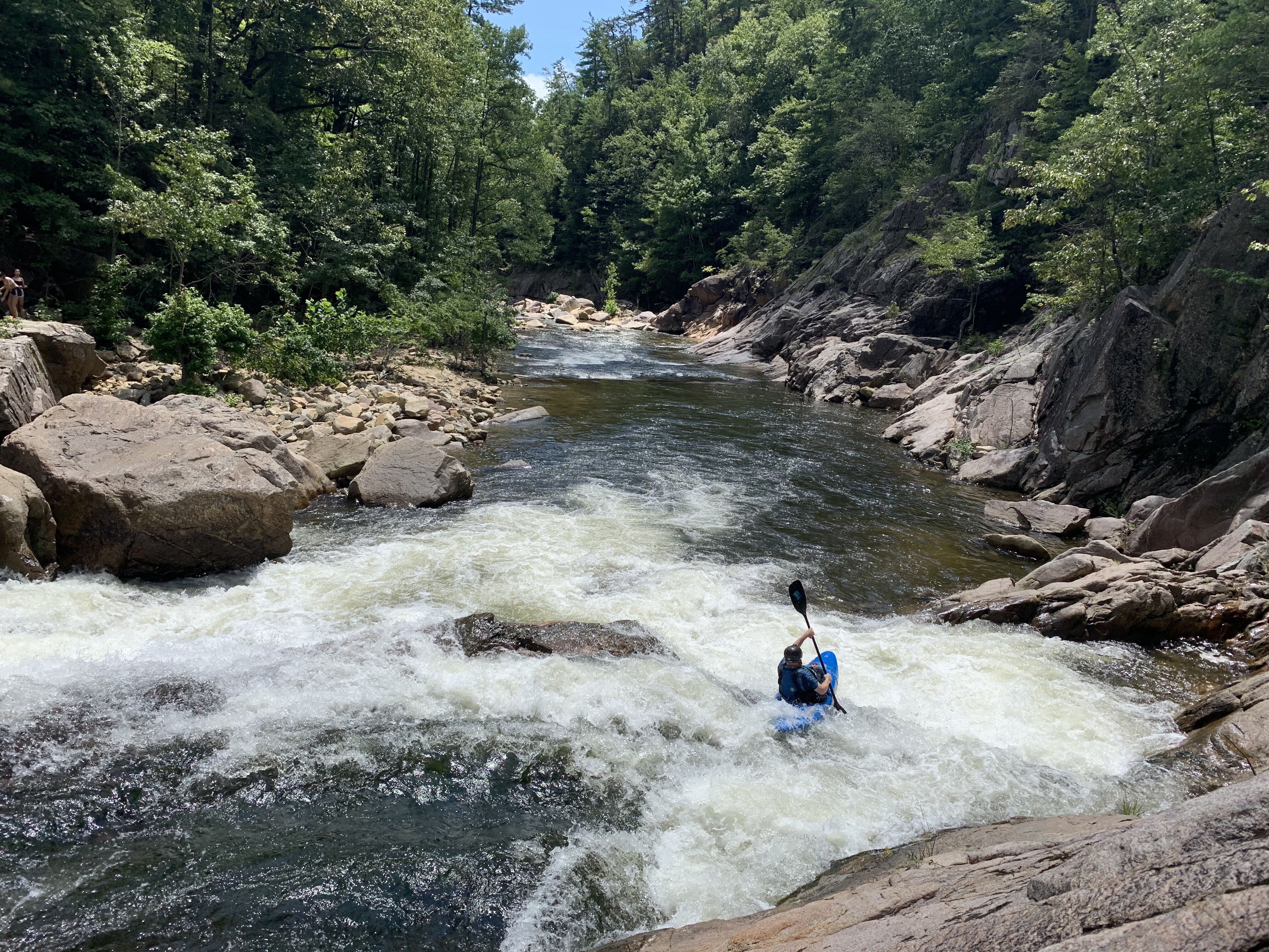
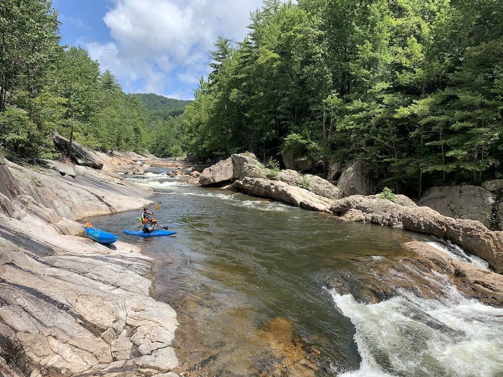
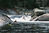
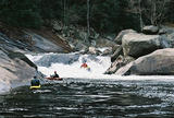
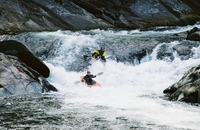
There is a large log across the middle drop on the river left side, right about chest high.
Due to all the flooding from Helene, Wilson Creek has changed. All the rapids were still there but things were different. Also, the Correlation between the creek water level to both the Bridge and Online Gauge seems to be off. Both of these gauges do seem to still correspond with each other but they don't reflect the actual water level anymore. The Gauges seem to read at least a foot higher than what is actually in the creek. In terms of actual rapid changes. everything seems to be different. Some changes are subtle while others are substantially different. Even the lead-in stuff above Ten Foot Falls has changed. Also, be aware that as the creek drops to low flows new hazards could be revealed/come into play.
Regarding Some Changes:
[MANK ABOVE TEN FOOT] is more of a driving to the left move while still using Idaho (Thumb) Rock as a reference point for running it.
[TEN FOOT FALLS] is pretty similar. The right side boof seems to have opened up a bit and then you ride the flow to the slide and come down the middle or slightly middle right on the horizon line.
[NO NAME LEDGE] is more of a drive to the left side of the drop. it kind of looks like there is a piton rock on the right side of the ledge.
[PITON LEDGE] which is right below No Name doesn't seem to be that different
[BOAT BUSTER] is a bit different left line is a bit blocked with rocks but it still goes. These rocks probably will become more in play at lower levels. In terms of running left line make sure to drive over the curler so you don't get sucked into the main hole in the middle. The Boof line on the right side looks like it still goes.
[THUNDERHOLE and DENTAL WORK] are each pretty much the same
[TRIPLE DROP] has significantly changed where some things have collapsed into the left line and a decent amount of water is feeding through rocks in the middle of the river and through the rocks on the right side of the left line.
[BITCHSLAP] or as some people like to call it Uurunnable Rock Jumble is pretty similar in terms of working to the right side of the river as you come down. there does seem to be more water flowing through the rocks on the left of the river.
[MAYTAG] seems to have gotten worse in terms of the hole. I took a sneak line on river left.
[RAZORBACK] The right line is basically the same. There is also a really neat centerline move. both of these lines do seem to be cleaner now. I have no idea what the current status is of the fire escape line.
[HUNTLEY'S RETREAT] seems to be steeper now. rocks that have been deposited on the right side seem to block off the flow on river right and therefore it directs more water to the left side. Some of the rocks in the left line seem to be gone now and others have shifted around
[RAILSLIDE] now has some weird rocks in the main S-turn move.
I hope this beta helps, and as always, look before you leap, especially as the level drops. A video showcasing the new Wilson can be found here:
https://www.youtube.com/watch?v=uydWv5L9dT0
As of November 13th, 2021 there is a river wide log just below thunder hole where a swimmer had to be rescued. I have not personally seen it but have seen pictures/videos of it on the Wilson creek Facebook page. The log does indeed span river wide. I did not see it on my laps on the 12th at 0 and around -2, so it was either below the water level or is new.
Note there are a couple large new rocks in the boof/entrance to 10-foot falls. Scout, and opt for a left/center line to enter.
Nov 9, 2023
American Whitewater is pleased to announce that we were awarded a Google Data Center Grant of $5,000 to help fund the USGS water level gage on Wild and Scenic Wilson […]
Sep 28, 2020
American Whitewater is pleased to announce the installation of a new online U.S. Geological Survey (USGS) stream gage on Wilson Creek, one of North Carolina’s five federally-designated Wild and Scenic Rivers. The […]
Jan 8, 2018
On December 19, the Federal Energy Regulatory Commission (FERC) gave Duke Energy the green light to move forward on the Catawba-Wateree recreation management plan. The plan includes public recreation requirements and […]
Mar 19, 2008
Foothills Conservancy of North Carolina, on behalf of the N.C. Wildlife Resources Commission, has secured a contract with The Lutz Family Partnership to purchase 649 acres along almost four miles of […]
Mar 19, 2008
Foothills Conservancy of North Carolina, on behalf of the N.C. Wildlife Resources Commission, has secured a contract with The Lutz Family Partnership to purchase 649 acres along almost four miles of […]
Aug 23, 2007
The proposal to build over 200 homes on 650 acres bordering North Carolina’s Wild and Scenic Wilson Creek has been withdrawn. The land has not been sold, and will be […]
Aug 22, 2007
As AW recently reported, a large development is being planned on the banks of North Carolina’s Wild and Scenic Wilson Creek. The Caldwell County Commissioners will decide whether or not […]
Aug 8, 2007
A large housing development is in the early planning stages for the banks of North Carolina’s Wild and Scenic Wilson Creek. The development, as planned, would lead to roughly 250 […]