Smith, North Fork
Headwaters Run
| Difficulty | IV |
| Length | 10 mi |
| Avg Gradient | 69 fpm |
| Gauge | Smith R Nr Crescent City (jed Smith Sp) |
| Flow Rate as of 20 days | 412 cfsstale data |
| Reach Info Last Updated | February 10, 2025 |
The Siskiyou Mountains in Southwestern Oregon give rise to iconic wild rivers like the Wild and Scenic Illinois, Rogue, Chetco and North Fork Smith Rivers. The region is known for its stunningly clear rivers, salmon strongholds, unique and rich biodiversity, and outstanding opportunities for angling and backcountry whitewater adventures. [...]Read More
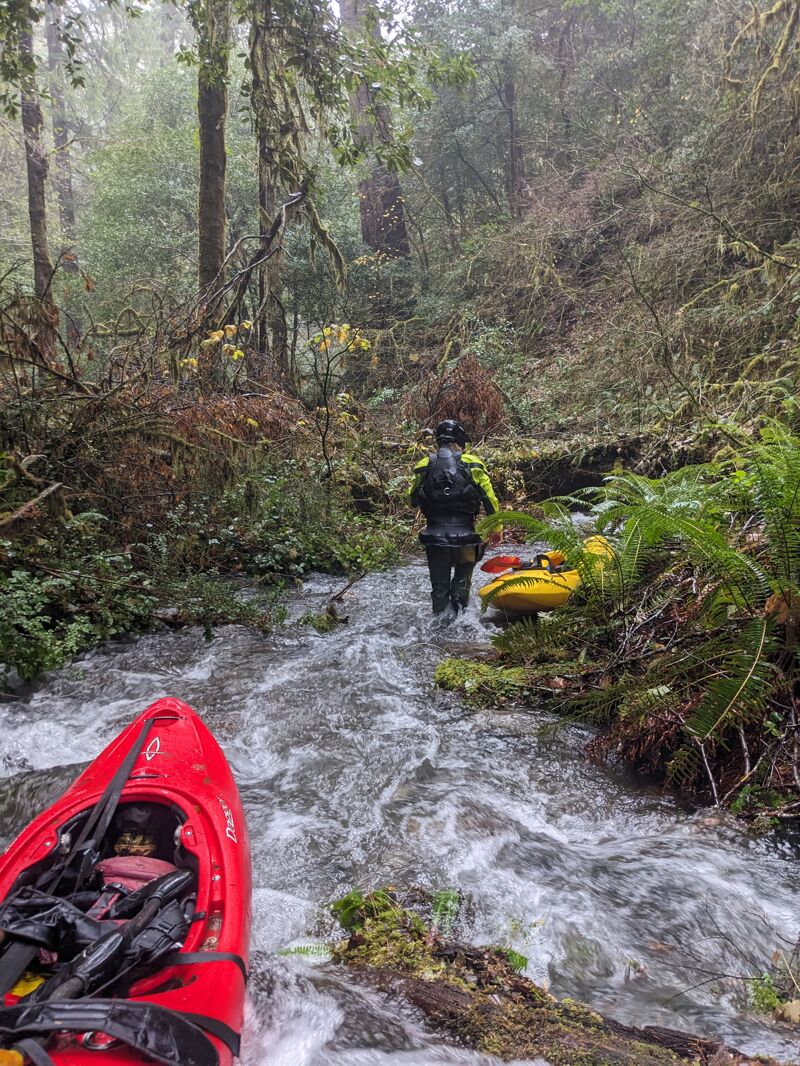
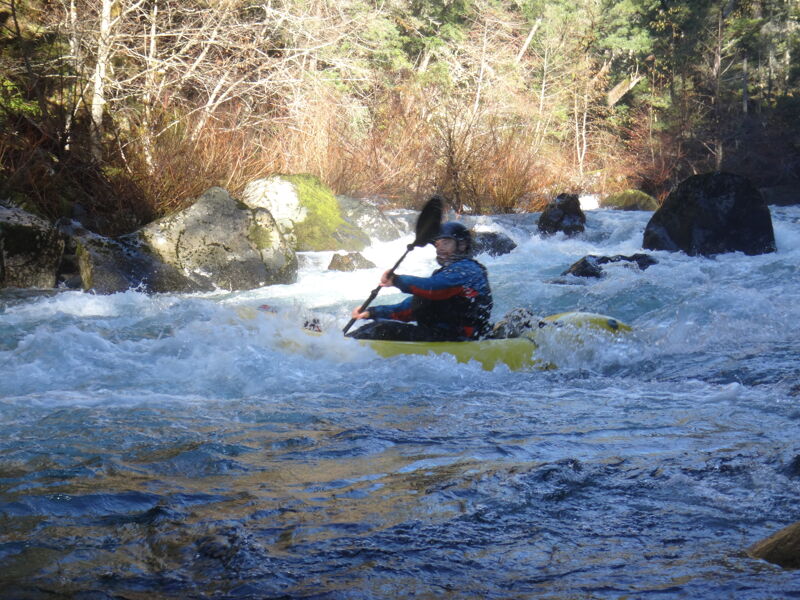
This rarely run section of the Upper North Fork Smith flows through a steep, forested canyon on the southwest side of the Kalmiopsis Wilderness Area.
Getting to the river requires a steep downhill dive off the Forest Service road network near Horse Creek. The take-out is at Major Moore's Bridge on County Road 305, the put-in for the standard North Fork Run down to Gasquet.
More than one misadvanture has taken place on this run, so be prepared for the possiblility of an unintentional overnight stay and carry an inReach or other communication device.
The best guidebook for this run in Dan Menten's The New School Guidebook to Northern California Whitewater, p. 12. (2016).
Some additional insights on the challenges of this run can be found in this trip report from December 2023.
The exact put-in spot will depend on the off-trail route you follow downhill from the Forest Service road network above Horse Creek.
It is possible to use Chrome Creek Confluence as a put in to avoid the log jam portages upstream. The flow doubles here, making the run possible at lower flows with a Chrome Creek put in. Cliff face river right has a break in it directly across from Chrome Creek Confluence. Beware general steep cliff in this area, don't let boats escape down the hill here.
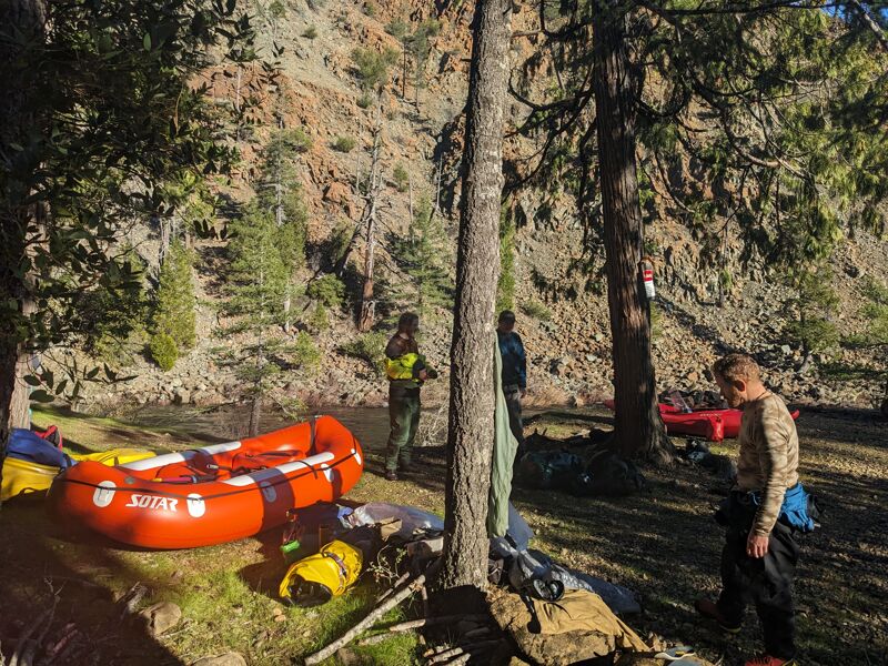
Take out just upstream of Major Moores Bridge (County Road 305). This is the put-in for the standard North Fork Smith Run down to Gasquet.
Nov 28, 1998
A small group of kayakers from Southern Oregon and Northern California ran the Upper NF Smith River over the 1998 Thanksgiving holiday weekend (plus Diamond Creek the day before and the Chetco Gorge the day after). Flow at the USGS gage at Jed Smith was about 10,000 cfs and fairly steady, a medium level for the run.
We dropped off the road network above Horse Creek, carrying and sliding our kayaks a few hundred vertical feet down hill to reach Horse Creek near its confluence with the North Fork Smith.
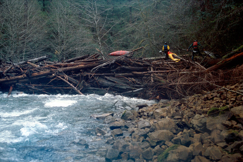
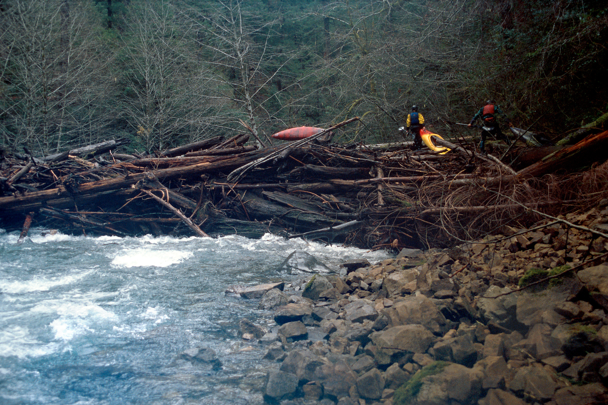
What I recall most are the log jams on the run. All were portagable, but there were several and they were big.
Looks like there's a nice place to camp near the mouth of Baldface Creek.