Linville River
1. Upper
| Difficulty | III |
| Length | 4.6 mi |
| Avg Gradient | n/a |
| Reach Info Last Updated | December 12, 2025 |
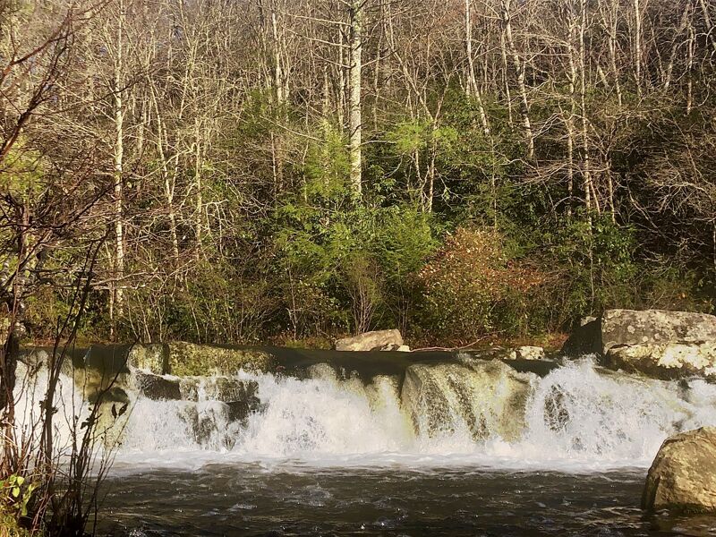
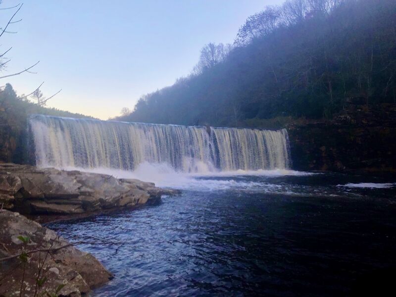
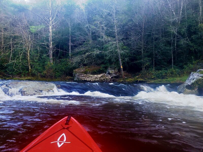
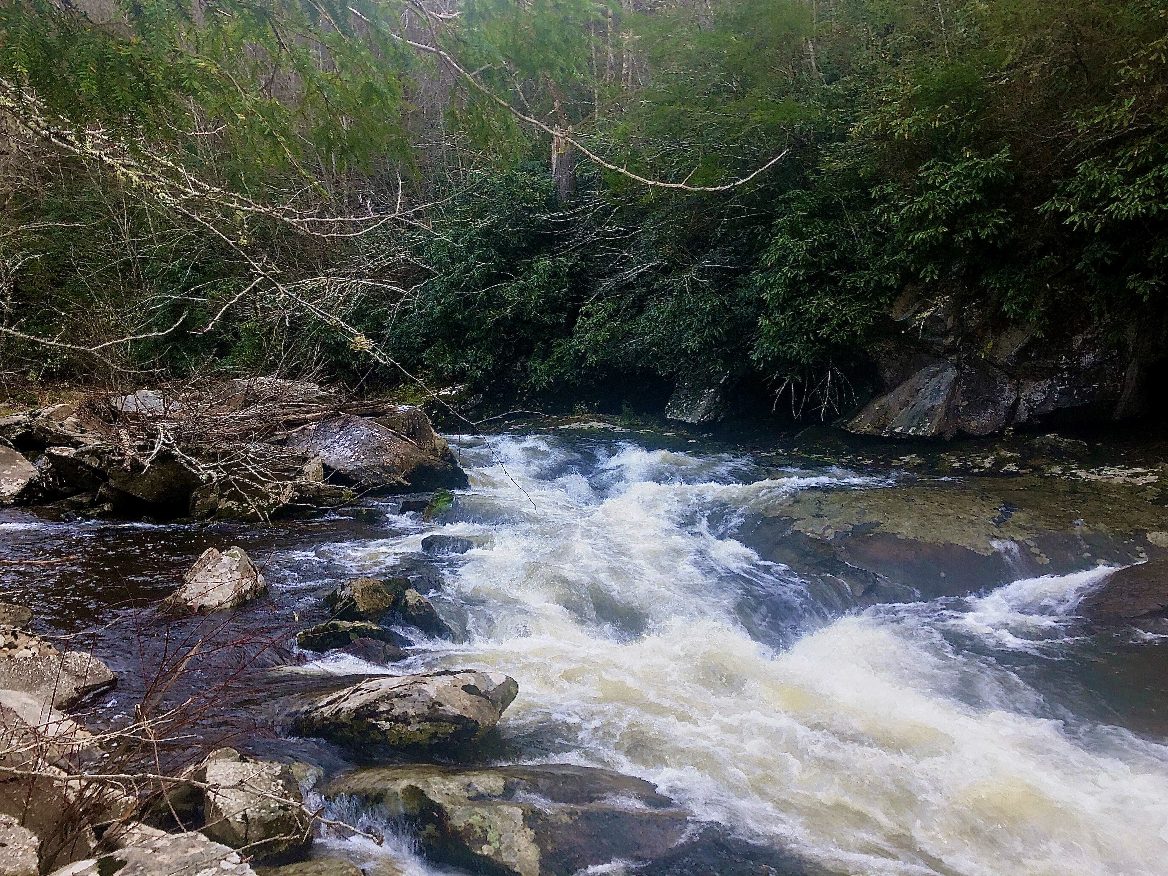
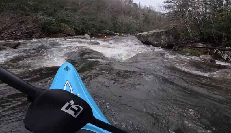
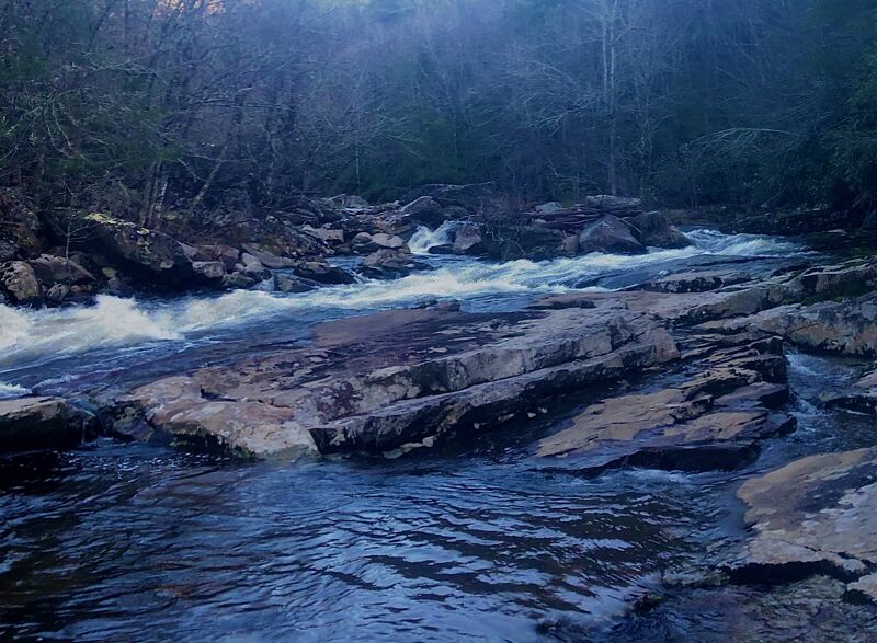
This is a not well-known section of the Linville that is way up in the headwaters. The put-in is at the Hwy 221 bridge in Pineola, NC. The takeout is a small gravel parking area located at the entrance of the NC Forest Service Mountain Training Facility, which is also right off of Hwy 221. The shuttle is super short (roughly 5 minutes one way). The first mile starts off flat and then the river completely changes character and becomes Class III. After the first section of rapids, the river mellows out for a little while before dropping again. After the second set of rapids, you reach the long pool formed by Sloop Dam. Portage on river right. Below the dam, there are a few more rapids and a neat ledge right before the takeout.
Put in at the Hwy 221 bridge in Pineola, NC. For reference, the road crosses the Linville not far downstream of Land Harbors Lake. There is a very small pulloff on river right.
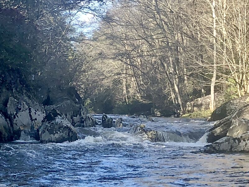
This marks the beginning of the notable rapids of this run and where the river in general changes character from flatwater/Class I riffles. There are 2 lines. Either run it straight and hit a small boof on river left or do an S-turn move cutting over to river right.
The river splits around an island. run it on the left side at lower levels
Marked by a giant dragon tooth shaped rock on river right.
This is the largest rapid on the run other than the Dam. The whole river constricts into a tight, low angle slide. there is a fun surf wave at the bottom of it.
Takeout at Harmon Bridge Highwater which is also the entrance of the Forestry Training Facility. There is a small gravel parking area on the left.
Dec 28, 2024
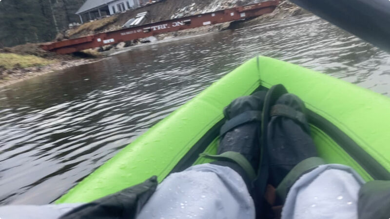
I ran this today at what I would maybe consider minimum or just below. The USGS gage is very far downstream past the gorge, but was reading at 2.3 ft. It rained overnight in the area and was raining just until I put on. At this level, there was some scraping throughout, but not miserable and plenty of channelized water in the bigger rapids. My best guess is look for at least 2.5 ft on the gage, but if it looks floatable from the put in, you should be ok. There was a low bridge at the beginning, (36.0226097, -81.8954805), likely new since Helene. The dam was easy to get around, but somewhat difficult to get back to the river after portaging. It seemed like if you hike down right by the concrete structure that would be easier access than following the trail at the top and bushwhacking from there. Very fun trip overall, but would have been better with a bit more water.
Mar 23, 2024
I was itching to get back out on the Headwaters of the Linville and decided to take my longboat.
Video Link: