Linville River
1. Upper
Dec 28, 2024
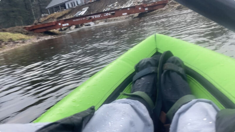
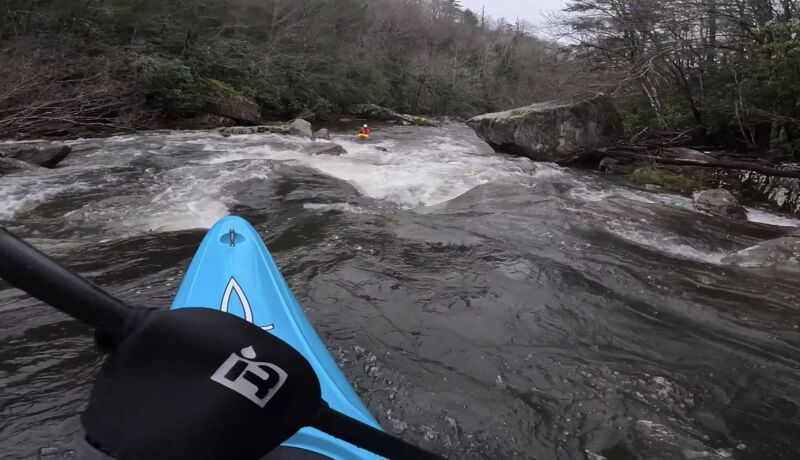
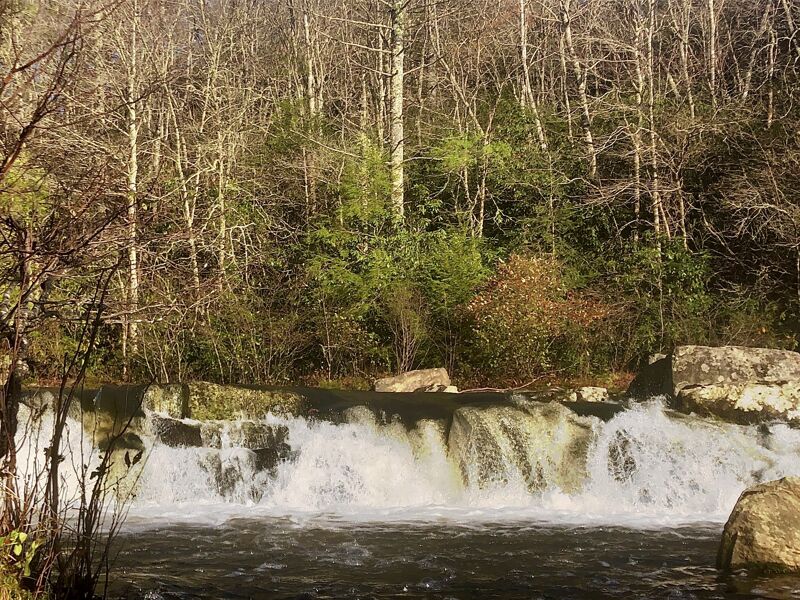
I ran this today at what I would maybe consider minimum or just below. The USGS gage is very far downstream past the gorge, but was reading at 2.3 ft. It rained overnight in the area and was raining just until I put on. At this level, there was some scraping throughout, but not miserable and plenty of channelized water in the bigger rapids. My best guess is look for at least 2.5 ft on the gage, but if it looks floatable from the put in, you should be ok. There was a low bridge at the beginning, (36.0226097, -81.8954805), likely new since Helene. The dam was easy to get around, but somewhat difficult to get back to the river after portaging. It seemed like if you hike down right by the concrete structure that would be easier access than following the trail at the top and bushwhacking from there. Very fun trip overall, but would have been better with a bit more water.
Mar 23, 2024
I was itching to get back out on the Headwaters of the Linville and decided to take my longboat.
Video Link:
Nov 1, 2020
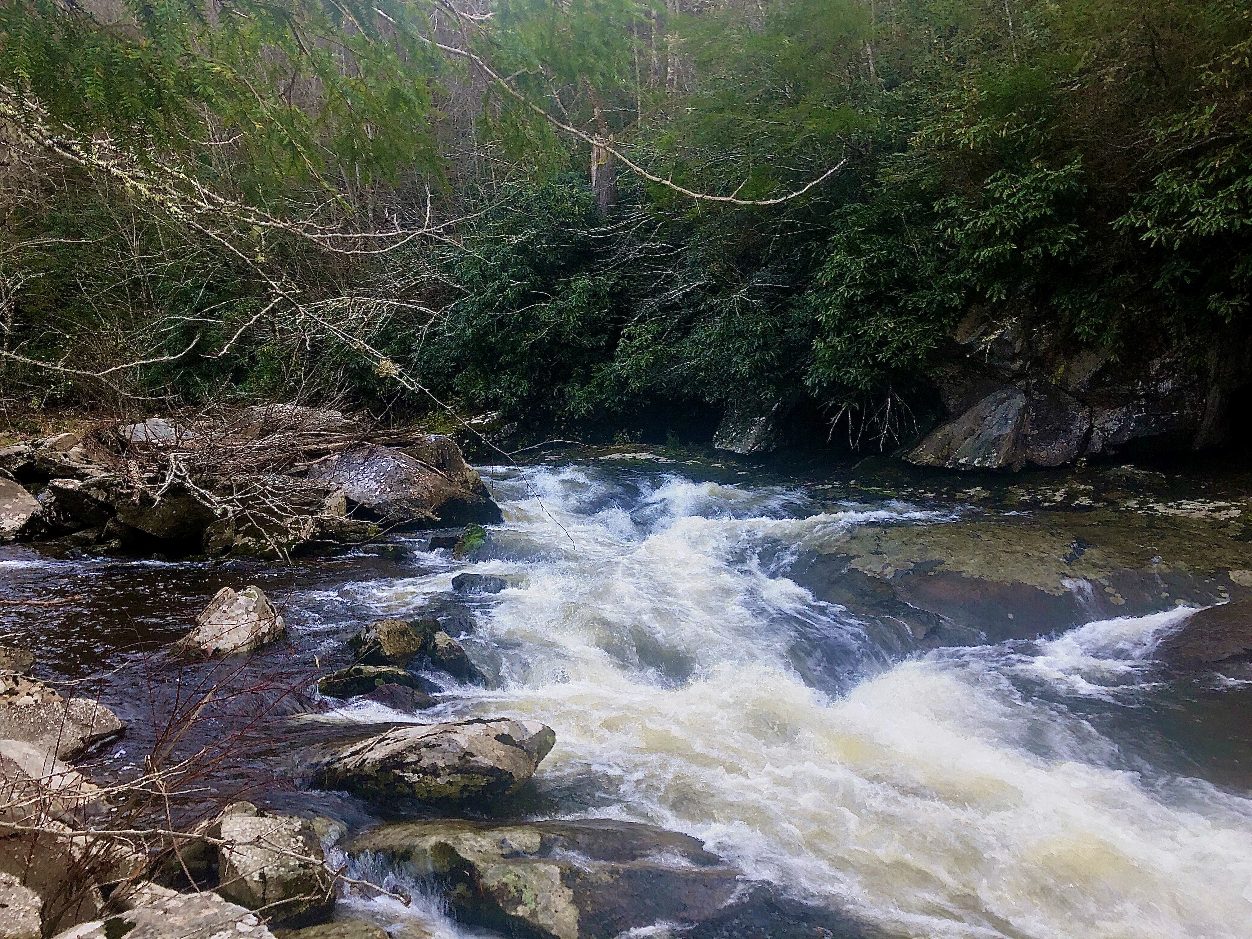
I was curious of what was in the headwaters of the Linville River. I scrolled on Google Earth and noticed some interesting looking features way upstream of Linville falls but couldn't find any info on anything. After a decent bit of rain fall over the area, I decided to put on and explore. To my amazement, there was a bunch of neat Class III stuff. I also encountered a pretty sizable dam that wasn't too hard to Portage on river right. I later found this to be Sloop Dam. Here's some photos from that trip.