Mad River
1. Highway 49 Bridge (Waterville Valley) to Campton

Sep 5, 2011
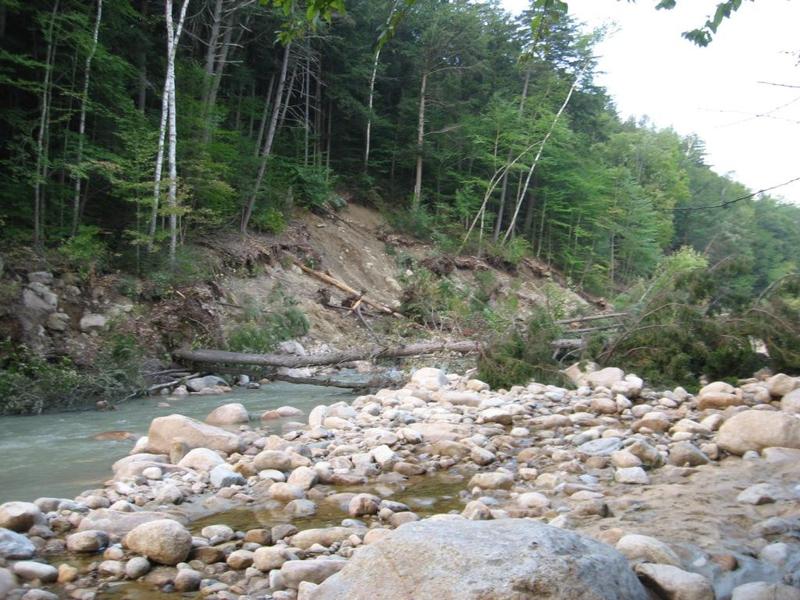
Hurricane Irene damage
Sep 5, 2011
Hurricane Irene damage.
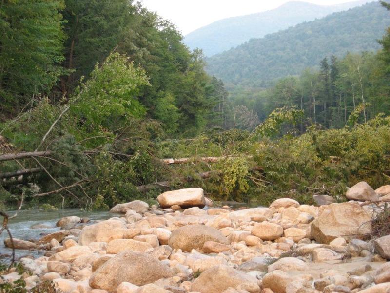
Sep 5, 2011
Hurricane Irene damage
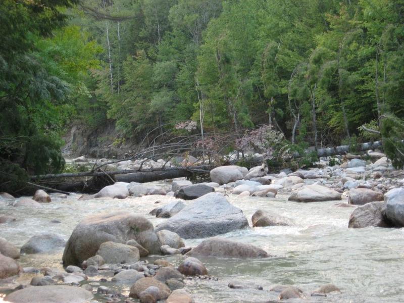
Sep 5, 2011
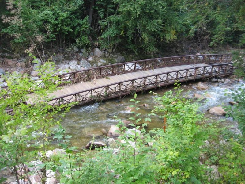
This photo is taken upstream from the Waterville Valley ski area access road, up to the put in for the Mad. The bicycle bridge, concrete storm water discharge unit, and several strainers (and potential strainers) liter the river bed.
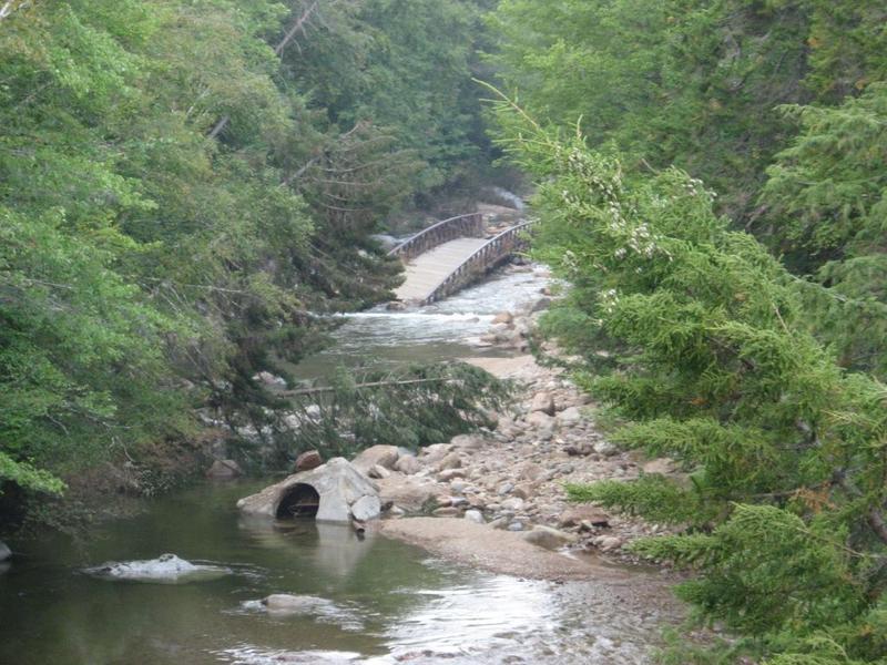
Sep 5, 2011
This photo is at the usual put in behind the recycling center in Waterville Valley. The bridge was carried a couple hundred yards downstream by the flooding from Hurricane Irene.
Aug 28, 2011
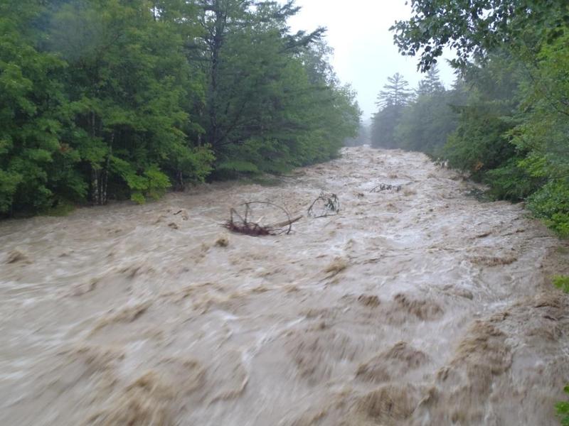
Flooding from Hurricane Irene carried many strainers such as this on downstream.
Aug 28, 2011
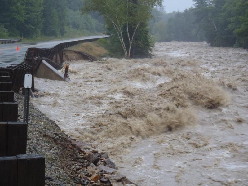
Several sections of rt 49 that parallels the Mad were swept away during the storm. This section is below Smarts Brook rapid completely fell into the river shortly after this picture was taken.
Apr 10, 2002
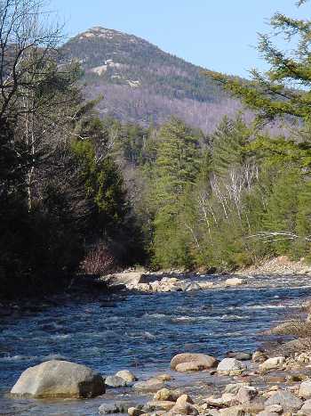
This is a minimum flow run on the Mad.
Minimum flow run on the Mad