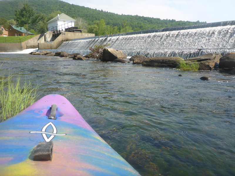
| Difficulty | II-III(IV) |
| Length | 3.5 mi |
| Avg Gradient | n/a |
| Reach Info Last Updated | May 4, 2018 |
River Description
This section is listed in Let it Rain.
Drawdowns of Mascoma Lake likely make this section runnable in the fall. For some hairy stuff, check out the Downtown section.
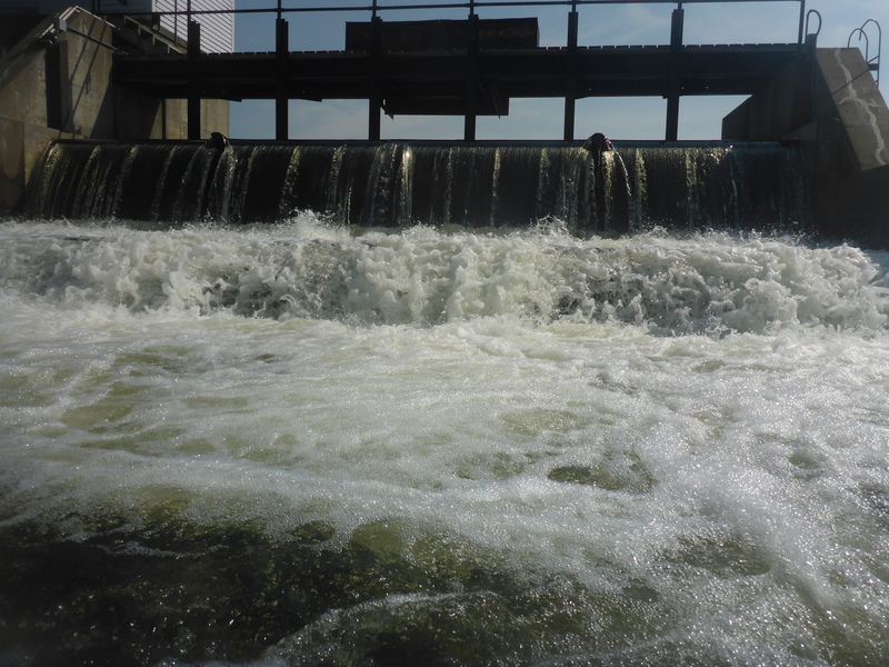
The United State Geologic Survey discontinued reporting flow and stage levels at their gage station located at the Mascoma Lake out flow. The New Hampshire Department of Environmental Services took over the gage shortly thereafter and started posting information at their site. Click Here.
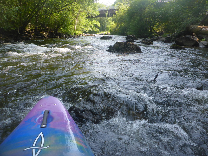
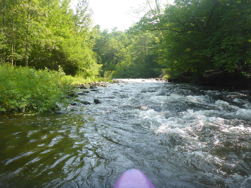
The only reason for a maximum level in is because of strainers on the banks. The actual difficulty of the whitewater does not change much (just a little pushier and fewer rocks).
There is a gauge located in another branch of this system which could be used for correlation. However, there is no 75th percentile or paddler observations to base any correlation off of. If you run this section please check the online gauge and leave a comment with the flow and a description of the run.
River Features
Put In
Access PointDistance: 0 mi
Take Out
Access PointDistance: 3.9 mi
Trip Reports
Log in to add a reportBW
Brad Walker
Aug 12, 2018
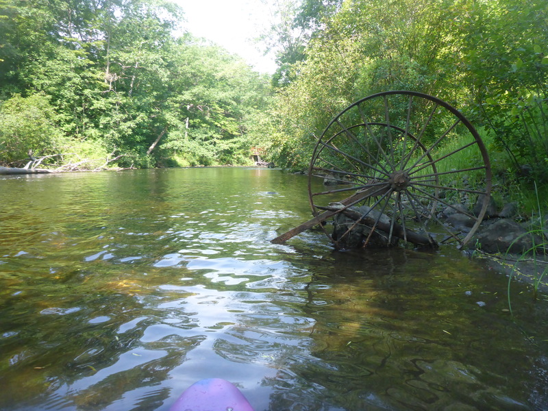
Decent amount of old metal objects throughout the run. Not bad, visible. Some bars and things that are not as obvious. Pretty standard stuff for NE Mill Country rivers.
BW
Brad Walker
Aug 12, 2018
Your non-paddlers can enjoy themselves on Lake Mascoma proper, or hit the criss-crossing Rail Trail and still feel like you're participating in family events as you go!