Raritan, S. Branch
2. Hoffman's Bridge to unnamed bridge at Readingsburg(Ken Lockwood Gorge)
| Difficulty | III |
| Length | 2.5 mi |
| Avg Gradient | 58 fpm |
| Gauge | South Branch Raritan River Near High Bridge Nj |
| Flow Rate as of 55 minutes | 5.84 ftbelow recommended |
| Reach Info Last Updated | August 26, 2021 |
Stephen Strange contributes:
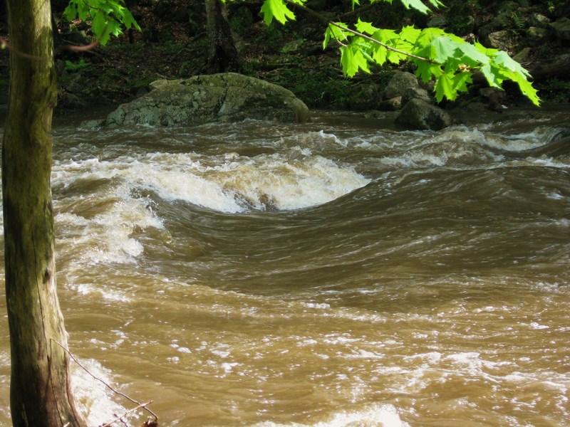
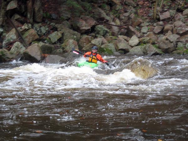
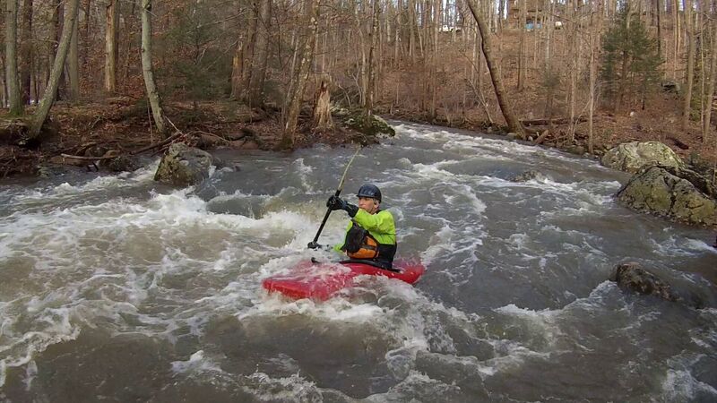
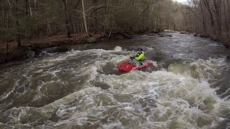
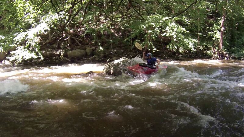
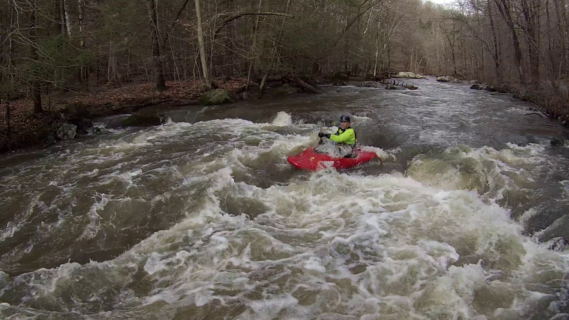
The South Branch of the Raritan River's 'Ken Lockwood Gorge Wildlife Management Area' is one of the classic class III runs in NJ (if there is such a thing). There is a gravel road which runs along the river from Hoffman's Crossing to the Cokesbury Rd. Bridge on river left. The gorge has about 3 miles of class III mixed boulder garden and ledge rapids.
It's a perfect training run for intermediate boaters.
Hoffman's Crossing Bridge has a gravel parking spot and is the typical put-in. You can also put in about 1/4 mile downstream on river left. There is a State Park parking area with a few spots. This area can get pretty crowded during fishing season.
There are also a few take-out options. A fishing club owns a lot of land around the lower half of the gorge; there is even a sign strung a little above head height on a cable about .5 mi above the lower bridge. You can take out at the end of the second Island (above their land) where there is narrow gravel shoulder along the road, Or you can paddle down to Lake Solitude. The club sold Lake Solitude to the Town of High bridge, so the Lake is now public. There is a gravel parking spot along river road at the head of the lake, or you can paddle across and take out at the dam. Finally, you can carry around the dam and take out at Union Forge Park in High Bridge for an extra few hundred yards of river. The Dam is no longer runnable after the restoration in 2012. There is now a big concrete pad at the base on the downstream side, so it looks like myself, and anyone else who ran it prior to that may be the last to do so.
The gravel road is now closed to vehicles from the upstream parking area to a parking area just above the second island. The quickest shuttle is probably on Rt. 513
Ran it on Sunday 10/9/2005. 8'2' on the station gauge, a nice level. No major strainers to report, except the usual river-wide before the first island. (Take t
...Jun 11, 2009
I think i know the tree you're talking about...it's been there since the winter. If anyone is interested in removing it on a day the level is low enough let me know.
May 7, 2009
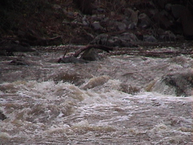
flow after about an inch or two of rain the night before
Apr 3, 2009
My buddy and I are in the process of removing this large strainer on the river left section and eventually any others.