Beer Kill, W. Branch
Old Greenfield Road Loop to Ellenville
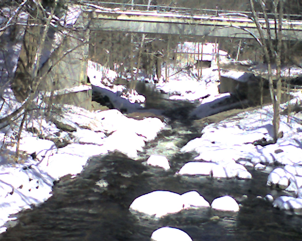
I took this and the other "too low" pics when the water was too low so when it's up, you can see the difference. This pic is from the bridge just upstream and looking down at where I took the other two pics. At runnable levels, it's all together different.
n/a
zoom flume