Beer Kill, W. Branch
Old Greenfield Road Loop to Ellenville
May 2, 2014
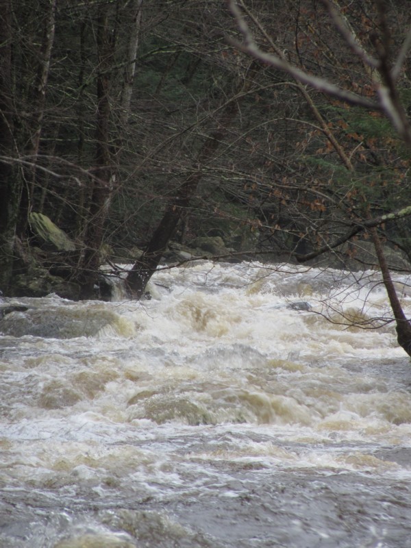
Checked this out today 05/02/2014.. two days after the big rainfall (4')
It has potential (a few nice wave trains) but unfortunately its in a really trashy area. Lots of run down homes with garbage everywhere right on rivers edge. Dont understand how people have a junkyard right on such a beautiful river/creek. There were also signs posted saying no trespassing along the entire run. Waste of time unless you are a local.
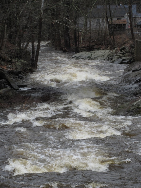
Apr 24, 2010
Looking downstream from route 52. The confluence with the main Beerkill is just around the bend.
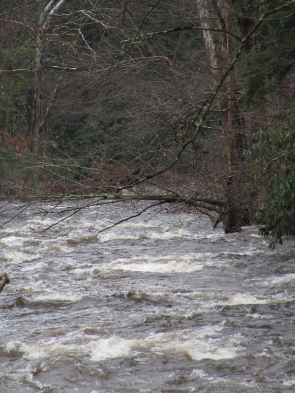
Apr 24, 2010
Somewhere towards the upstream part. Things start out pretty easy, but there will probably be trees to watch out for.
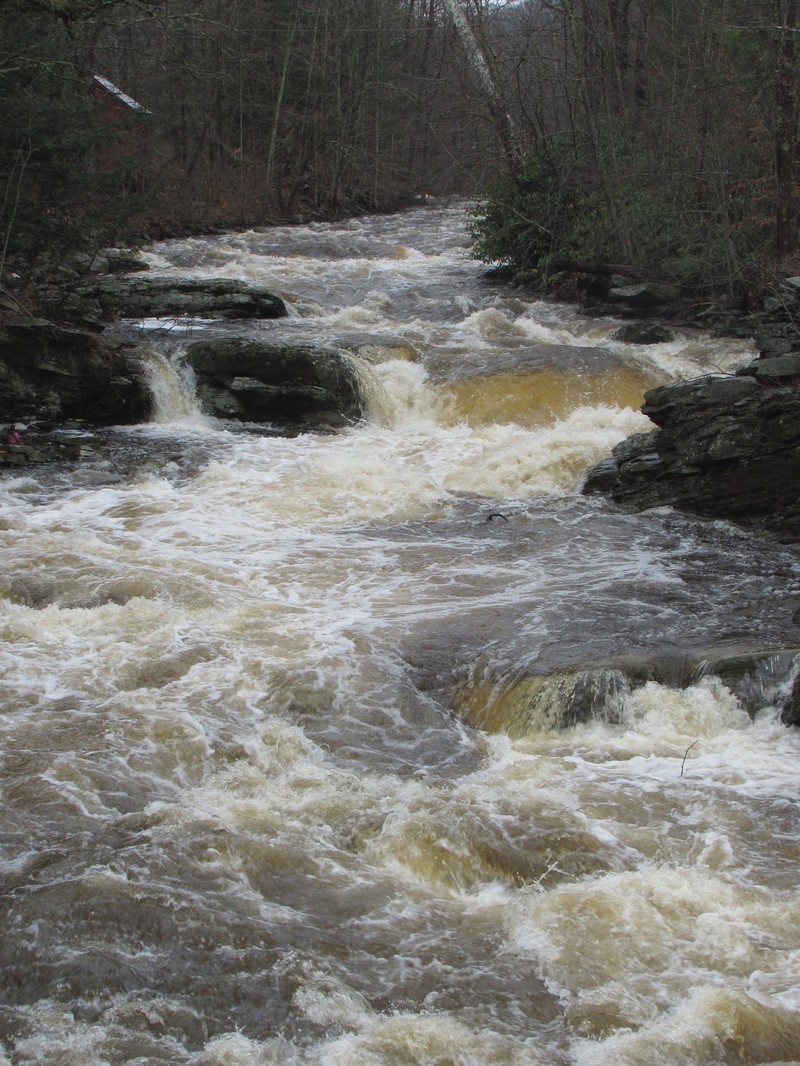
Apr 24, 2010
The four foot drop just above route 52.
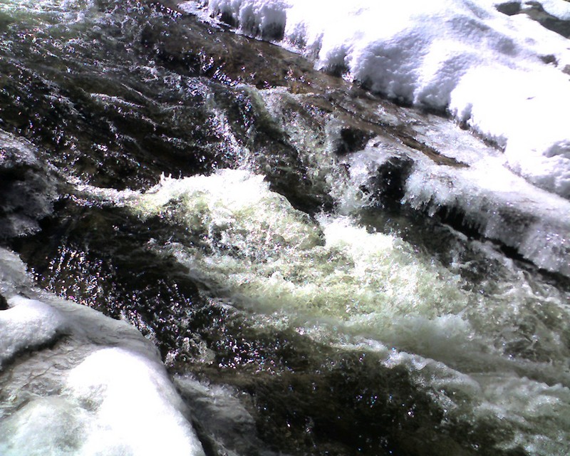
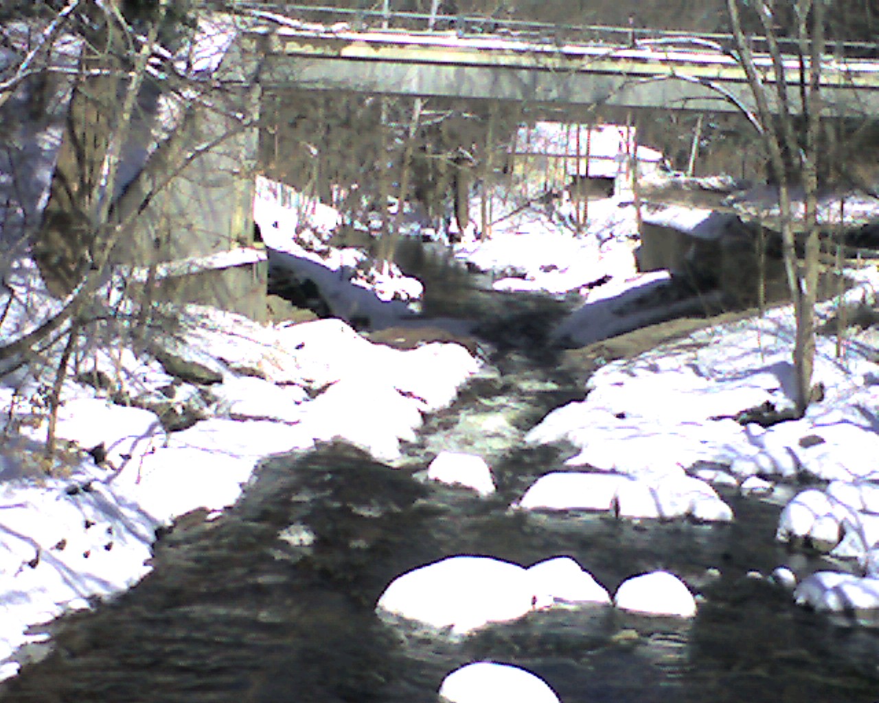
Feb 28, 2008
I took this and the other 'too low' pics when the water was too low so when it's up, you can see the difference. This pic is from the bridge just upstream and looking down at where I took the other two pics. At runnable levels, it's all together different.
Jan 1, 1900
About halfway from the put in to route 52 you'll find one of the bigger drops.