Beer Kill, W. Branch
Old Greenfield Road Loop to Ellenville
| Difficulty | II-IV |
| Length | 5.8 mi |
| Avg Gradient | 90 fpm |
| Gauge | Rondout Creek at Rosendale Ny |
| Flow Rate as of 41 minutes | 8.85 ftbelow recommended |
| Reach Info Last Updated | April 26, 2016 |
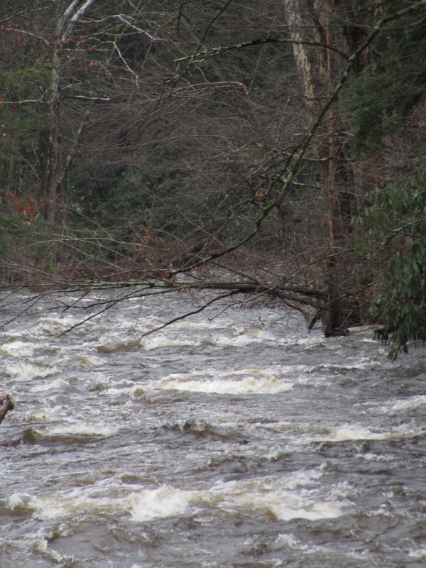
This basically a Class-III run. The only rapid/section that I can think of that might be considered IV is after you pass a lumber yard the creek picks up speed, it goes over a drop of a few feet, then it becomes a fast narrow flume. You'll see this when you are driving up to the take-out. You can scout most of this creek from the road. The other thing of note is I scouted it at high water. Had I had someone to paddle with that day I would have used markers upstream of a every strainer, although at the time there was only two, perhaps three. The reason I would have done this is because this was moving really fast and the eddies were few and micro. At this level it trumped a III. This is really a creek, not a river. It's not very wide at all until you get to the confluence with the Beer Kill, Main Branch.
BTW, for good food stop at Wilson's Deli. It's located on Canal, I guess about 1/4 of a mile up from Route 209, before you get to Greenfield.
Catskills Area Reaches
Basic CreekBatavia Kill Bear Kill
Beaver Kill (Delaware Trib)Beaver Kill (Hudson Trib) Beer Kill
...May 2, 2014
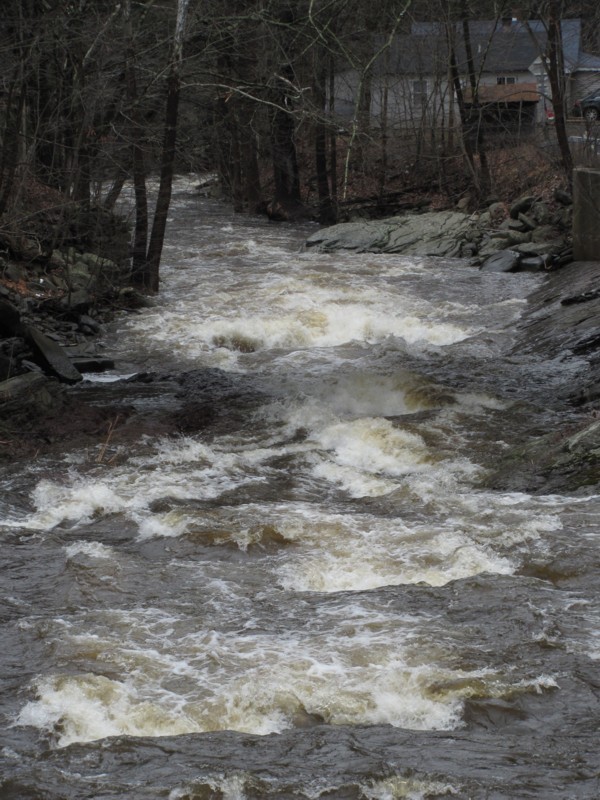
Checked this out today 05/02/2014.. two days after the big rainfall (4')
It has potential (a few nice wave trains) but unfortunately its in a really trashy area. Lots of run down homes with garbage everywhere right on rivers edge. Dont understand how people have a junkyard right on such a beautiful river/creek. There were also signs posted saying no trespassing along the entire run. Waste of time unless you are a local.
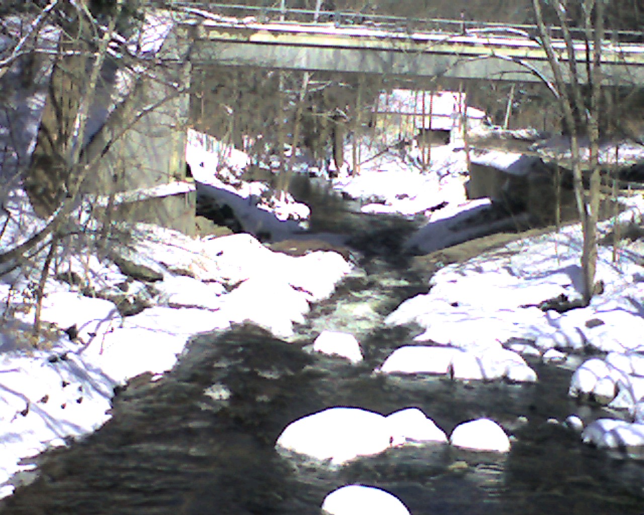
Apr 24, 2010
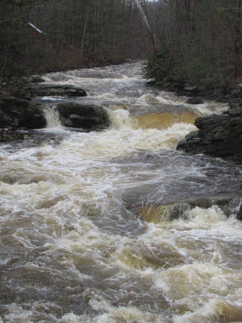
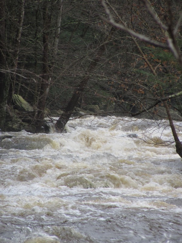
Looking downstream from route 52. The confluence with the main Beerkill is just around the bend.