Grass
1. Lampsons Falls to Downerville
May 6, 2026
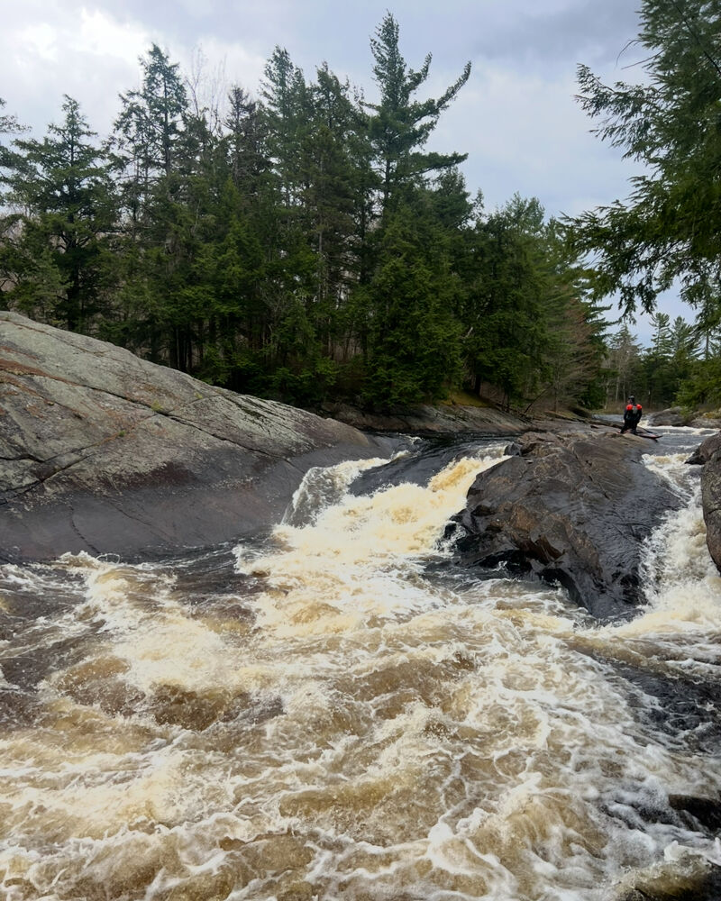
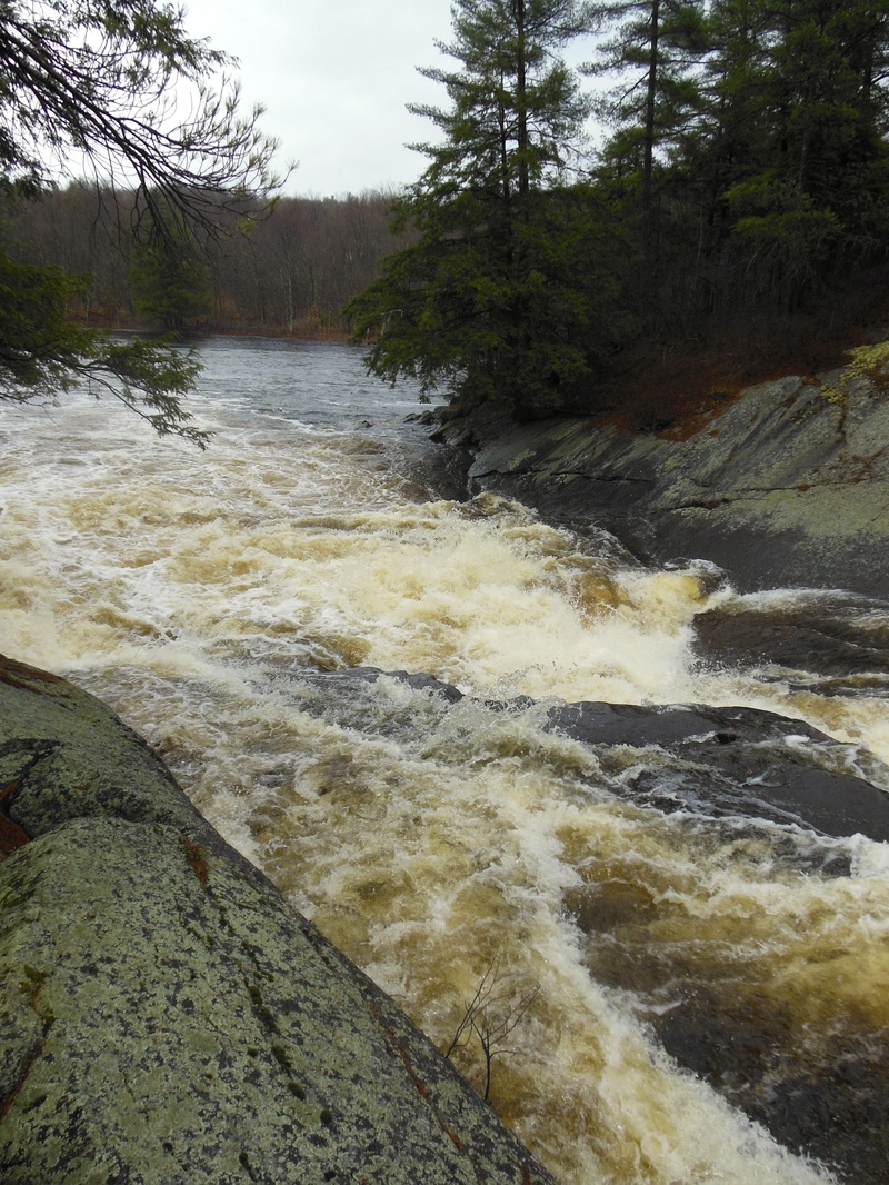
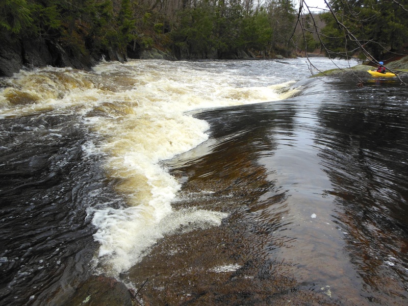
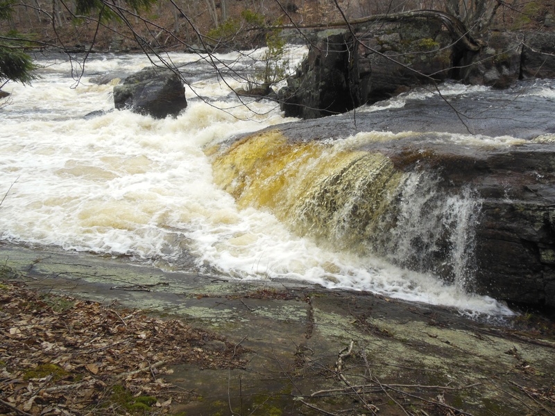
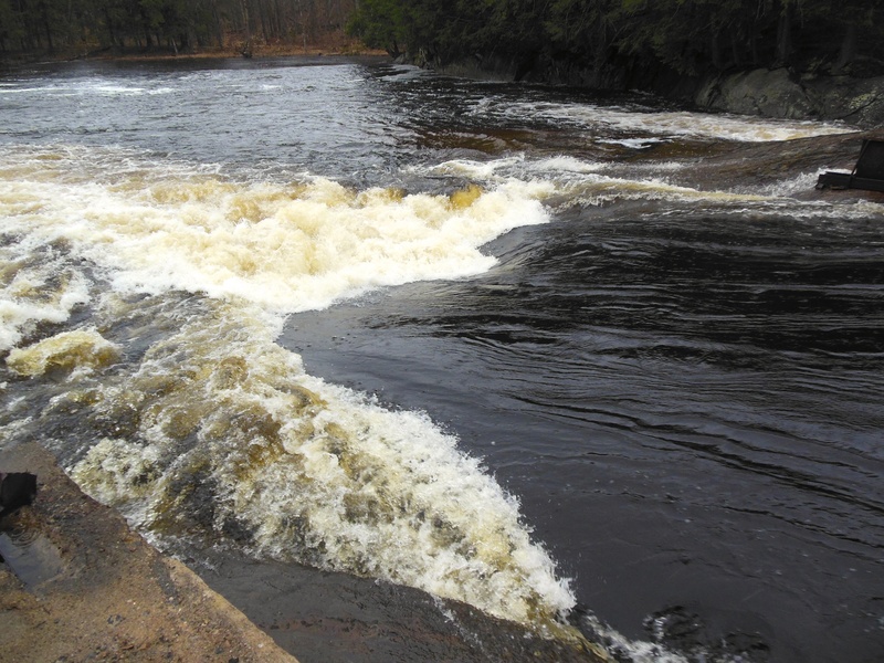
Important. as of may 5 2026 there is a terrible strainer on Lampson falls on right line and more wood blocking entrance to main line down the main falls. Our group ripped down from Lampson falls at 650cfsa. at this level Lampsons falls was quite low with no main line other than middle we dput in below the falls. we played at an unamed play spot before the 1/3 mile flat water paddle before old bridge. just after Lampsons falls. At around 650cfs Thanks was quite the large hole, I couldent imagine it any bigger. next was no thanks, there is also a line that goes right around the island that is not mentioned, this could be a horrible line, at higher waters there is a potential for a go arond at both the left sides of the thanks rapids. Both Should be properly scouted before ran. At this level mikes hole was a breeze. then snot rocket we went right line. the next 2 rapids we snuck through with no issues at this level. we walked north country boof. the sive at the boof main line was looking worse than ever. After northcountry boof the waster was really low and unfun till the take out in Degrasse. jut a note about the portages, there are large dec signs marking the portage trails, the actual trails have not been kept up and practically dont exist.
May 9, 2013
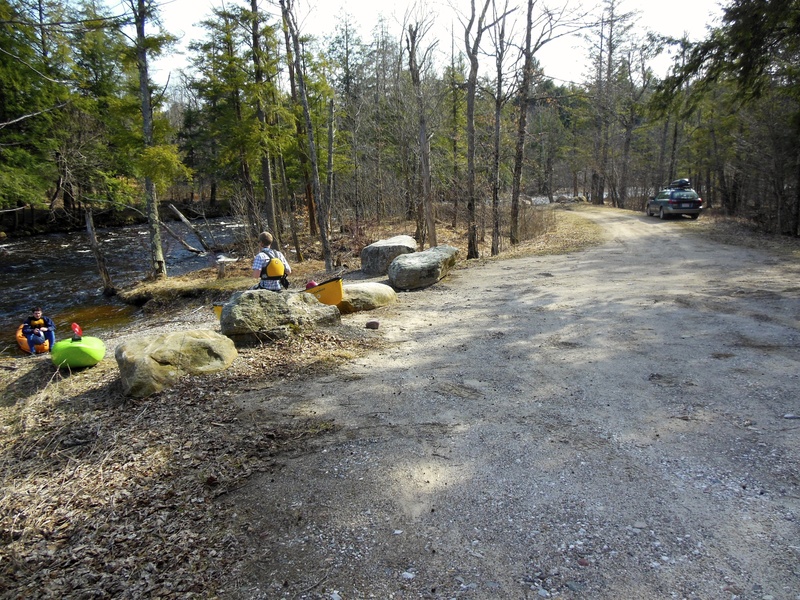
This is the downerville take out, it is a little upstream on the North Branch, however, there is a Path through the woods to walk upstream from the Confluence.
May 8, 2013
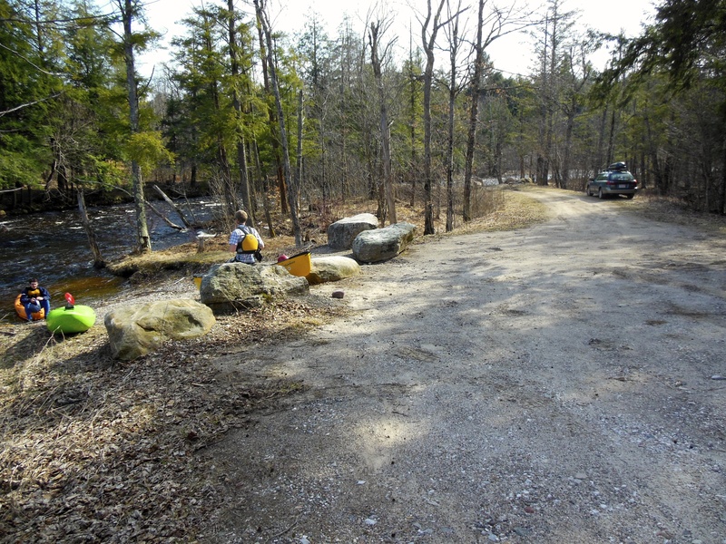
The take out in Downerville, this is slightly upstream from the confluence of the North and Middle branch. A small path leads though the woods from the confluence up to this area
Aug 27, 2008
On Route 24 just north of the town of Russell boaters will see a NY state sign for Downerville, a no-longer existent town at the confluence of the N. branch of the Grasse with the Main branch. This put-in/take out spot gives boaters at low water a chance to get off the river before the scrappy section to Russell. It's also the take-out, obviously for those boating the North Branch. It's also a great place for boaters at flood stage to put-in and ride the haystacks to Russell. Coming from Russell, turn right (SE) onto dirt/gravel Donnerville road, after old cemetary on left, take next right. Follow along beaver pond then downhill to confluence. About a mile and a half from main road to take-out.
Nov 17, 2006
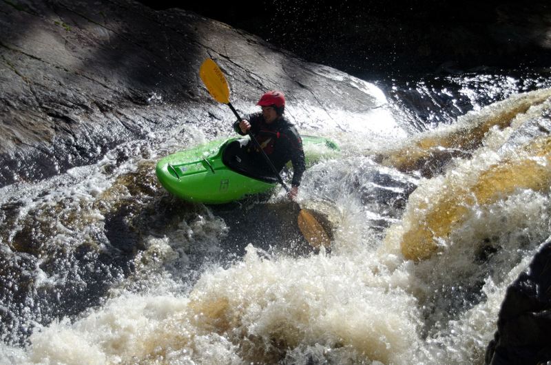
Ran this section on November 5, 2006. Level was around 600 cfs. on the gauge. First couple drops were a lot of fun, next few miles a bit scrapy and then the runout was pretty tedious. Did a video tour; check it out:
http://www.flowpaddlers.org/users/andy/speced/lampson/lampson.htm