| Difficulty | II-IV |
| Length | 22.1 mi |
| Avg Gradient | n/a |
| Gauge | Moose River at Mckeever Ny |
| Flow Rate as of 24 minutes | 2 cfs |
| Reach Info Last Updated | November 10, 2017 |
River Description
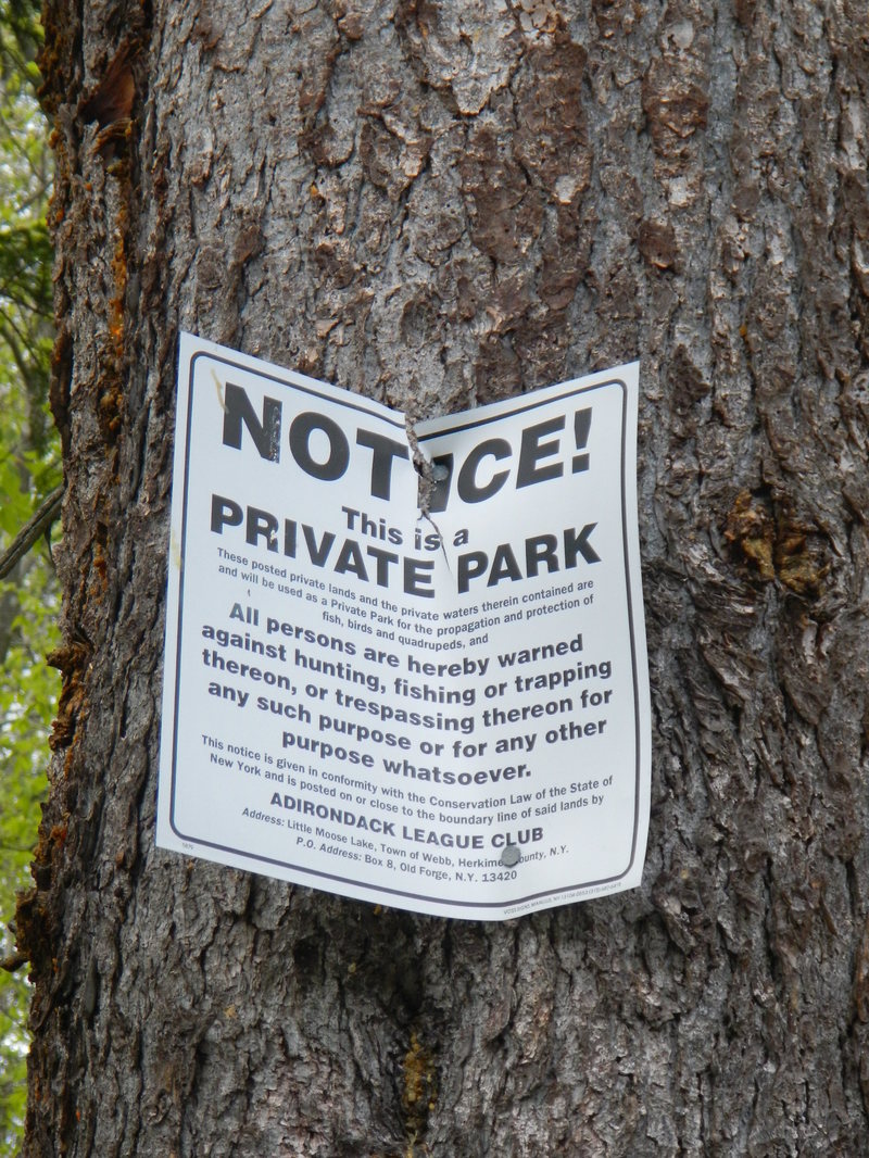
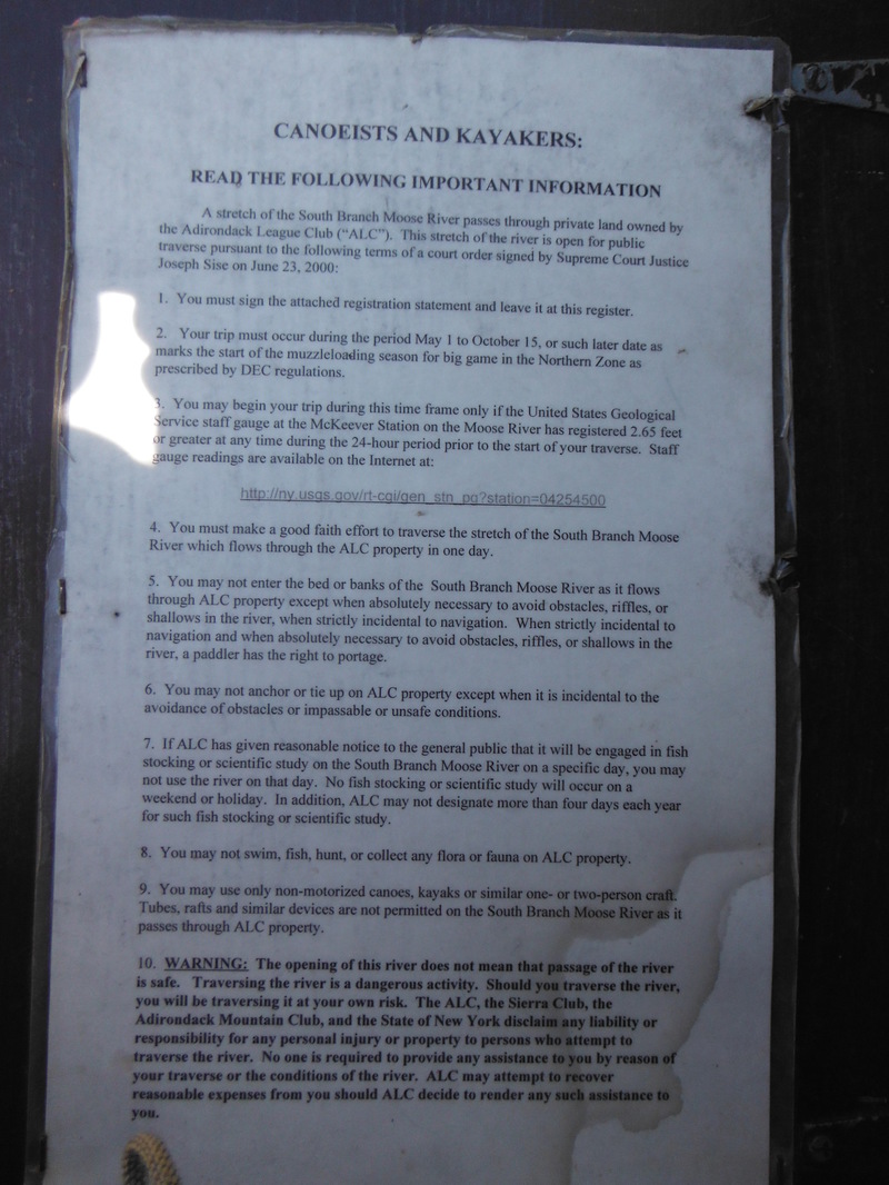
Before running this section boaters should read and be aware of the lawsuit and history of this run. Click here for the link. This is an important read as it details the right and obliagtions of all parties on this property and the New York Rights of Navagability are based on this ruling. Enjoy your trip, but fully comply with the ruling while in the ALC.The ruling on this section of river are the foundation of recreational river access and navigation for New York State. Further lawsuits could take away future access across New York.
By law boaters are only allowed in the ALC from May 1- October 15. and the guage must be above 2.65. (It isn't worth it that low anyway)
While passing through the ALC property section of the river (12 miles), camping/ fishing/ hunting/ trapping/hiking or any other activities not directly related to navigating the river are prohibited. Therefore boaters doing an overnight trip must make it out of the ALC property before dusk and setting up camp. Be sure to budget plenty of time for the hike in, portage, and scouting. Accounts from Club Members are that at low water boaters have been forced to walk most of the river and become stranded overnight with broken boats inside the ALC.
Though not particularly difficult, this is a remote section of river. If something goes wrong your odds of getting help any time soon are pretty minimal. Be prepared with a minimum of a pin kit, first aid kit, flashlights, lighters, boat repair materials, emergency food rations, and warm clothing. Make sure at least 2 people know when you put on and when you expect to take out.
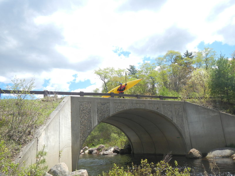
Put In Options:
Access to the river is down well-maintained DEC dirt roads off Limekiln Lake Road in Eagle Bay (North of Old Forge). Take the first right once in the logging road system onto Indian Lake Road.
1. The river to your le
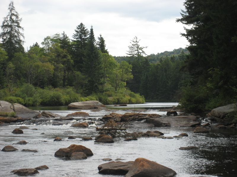
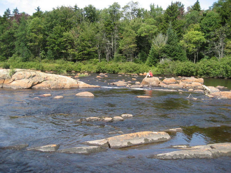
...River Features
Put In
Access PointDistance: 0 mi
Entering ALC Land
OtherDistance: 4.47 mi
Determined using Herkimer County parcel GIS. ALC has two large contiguous parcels that contain the South Branch
https://herkimercounty.sdgnys.com/propdetail.aspx?swis=215400&printkey=04800000010140000000
https://herkimercounty.sdgnys.com/propdetail.aspx?swis=215400&printkey=04100000010709000000
Leaving ALC Land
OtherDistance: 16.83 mi
Take Out
Access PointDistance: 20 mi
Trip Reports
Log in to add a reportRH
Richard Hopley
Oct 15, 2014
And what level, on whichever gauge? In your text you say 'at theis level' and later 'with a foot and a half more', but I cannot see where you tell us the level in the first place.
I'm guessing it might take 3.5' to 4.0' at McKeever, as a minimum, but...?
MP
Matt Pascal
Jun 6, 2014
This is the sign in waiver as of May 2014.
MP