Trip Reports
Log in to add a reportRH
Richard Hopley
Oct 15, 2014
And what level, on whichever gauge? In your text you say 'at theis level' and later 'with a foot and a half more', but I cannot see where you tell us the level in the first place.
I'm guessing it might take 3.5' to 4.0' at McKeever, as a minimum, but...?
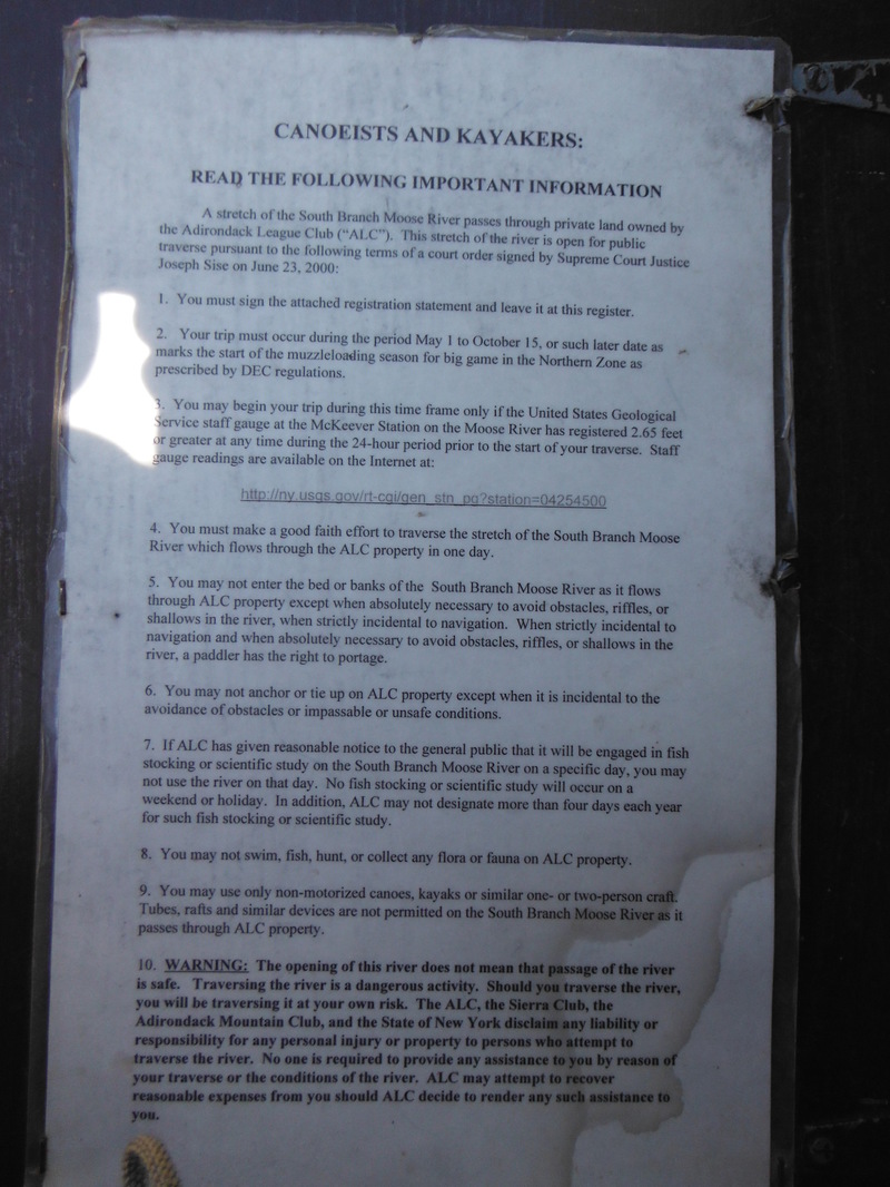
MP
Matt Pascal
Jun 6, 2014
This is the sign in waiver as of May 2014.
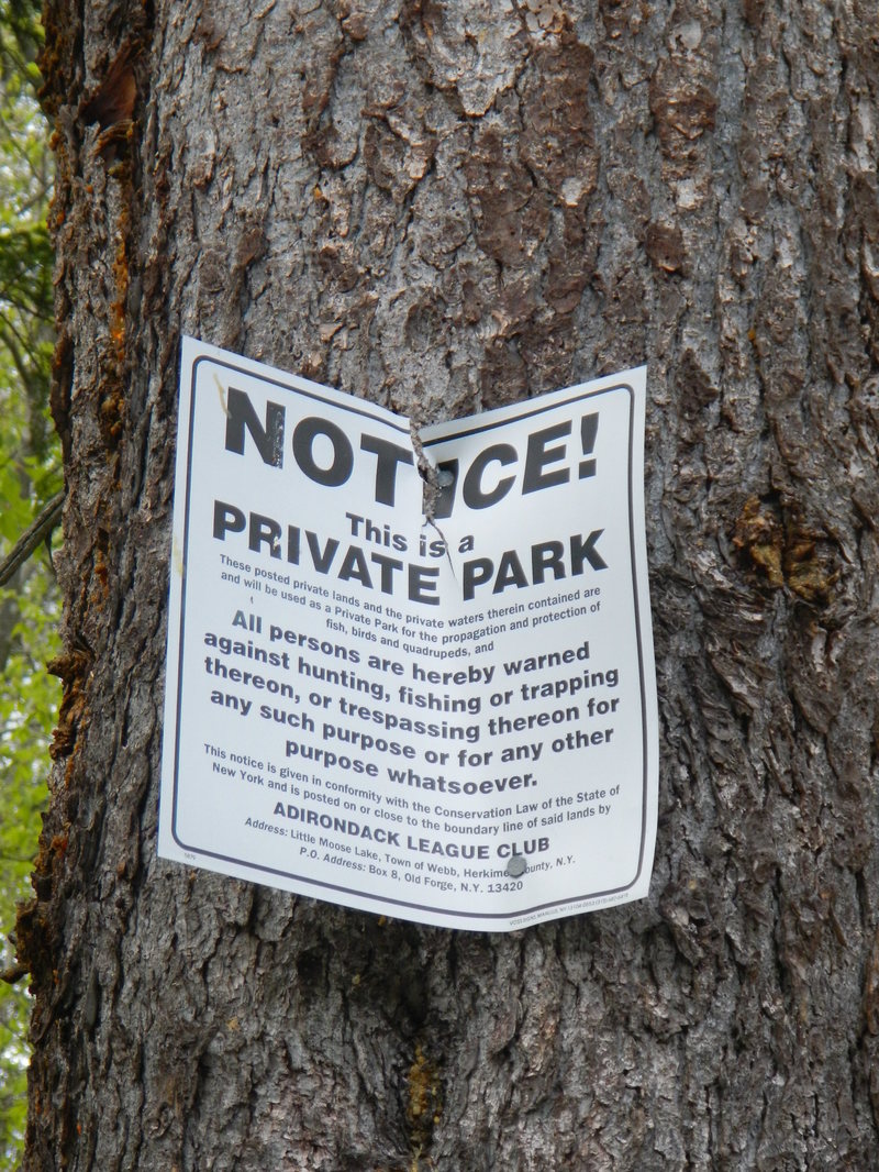
MP
Matt Pascal
May 25, 2014
There are lots of these tacked to trees for about 15 miles.
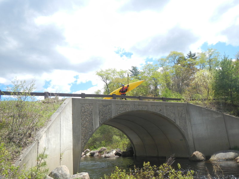
MP
Matt Pascal
May 25, 2014
Put in here, or walk 1.4 miles on a hiking path to cut out 5 miles of scenic flatwater.
?
Untitled
Nov 21, 2009
what gauge do you go by
?
Untitled
Sep 8, 2009
left side of rock dam 9-5-09
?
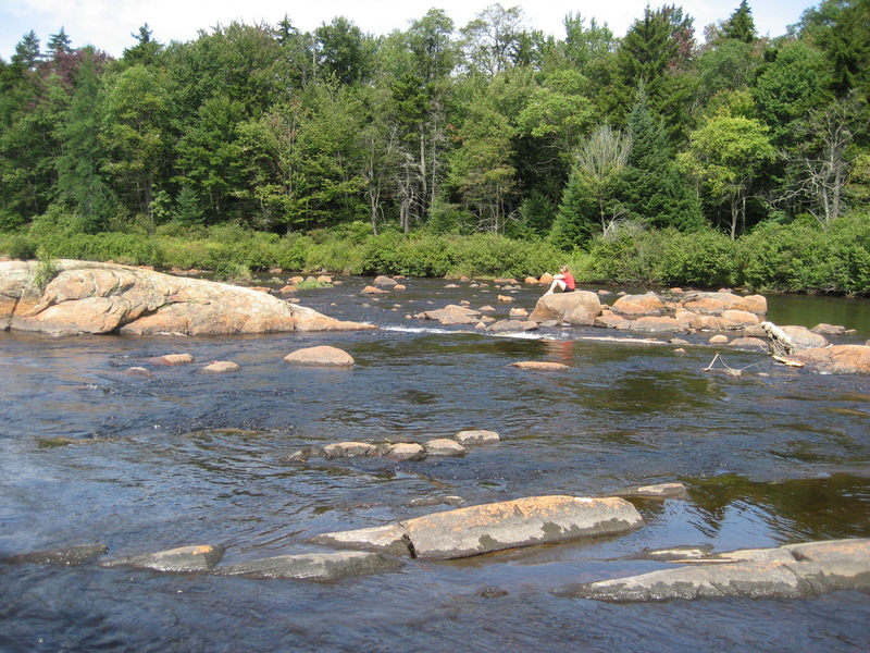
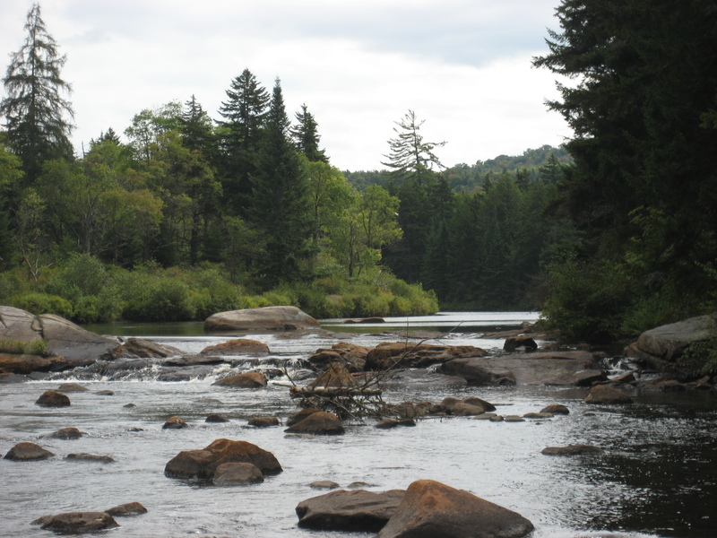
Untitled
Sep 6, 2009
rock dam at low water.