Neversink
1. Rock Hill to Oakland Valley
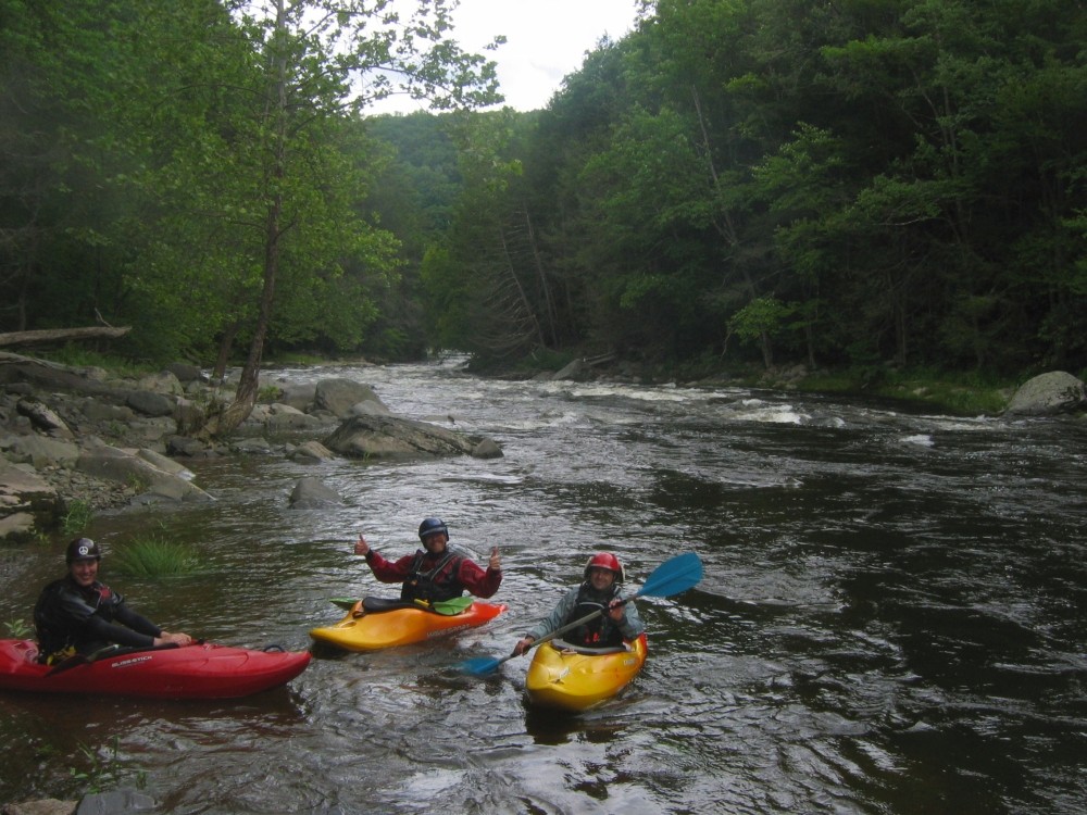
June 29, 2007
| Reporter | James Dougherty |
Took a hike at low water level when there wasnt really enough water to paddle most of it. Went to high falls and stood a the base of the falls, river left, where water was droping off just to the right of me while facing upstream. I was able to see over so at least on river left it's about 5.5 ft. I always hear people going down the right side, middle looked like it would be serious and the hardest. I never heard someone going down river left but it looked like it would be easy. My concern would be enough water to land in. It was a beutiful area and at times walking along the river I would have to back track as the bank would rise until I couldnt go forward due to no more room to walk and
it was way to steep to climb up. Getting out of this river without a kayak might prove to be difficult, particuliarly if you are injured. I would suggest bringing a USGS map and compass. There is a trail probably no more than a few yards to a 1/2 mile, depending where you are, that runs along the river, at least on river left. In places you may find it hard to get to.