Ramapo
Tuxedo to Suffern
| Difficulty | I-II(V+) |
| Length | 7.3 mi |
| Avg Gradient | n/a |
| Gauge | Ramapo River at Suffern Ny |
| Flow Rate as of 1 hour | 44 cfsbelow recommended |
| Reach Info Last Updated | November 22, 2019 |
With the exception of the a few questionable drops, this is a beginning whitewater run from Tuxedo on down, with the advantage of a train or bus shuttle.
The river below 7 Lakes Drive is the shallowest part between Tuxedo and Sloatburg and becomes too scrapy somewhere around 300 cfs.
Downstream from here, before you pass under 7 Lakes Drive just upstream of a bridge (Washington Ave?), there was a surf-hole. At higher levels this might get really good since the river is constricted here. It looks like there might have been an old rustic dam here. Soon you will pass under 7 Lakes Drive; you can take out here.
Stony Brook will pour in from your left after passing under 7 Lakes Drive and the water will go dead flat. This is due to the Dam. It's a low-head dam, however, there's something in there to stop the recirc but all the way left has recirc and probably other spots as well. I ran just left of the recirc, right of the log sticking up. The rocks seem like they have good pin potential and there's junk in this dam. This is the last CL3 I know about.
Below Sloatsburg, there's a section where the scenery is not great after this and you'll hear and see the Thruway. There may be parking on Waldron Terrace near the dam which can be accessed by taking 7 Lakes Drive. Make a right on Waldron and drive until you see the signs 'Do not pass'; the dam is on you right.
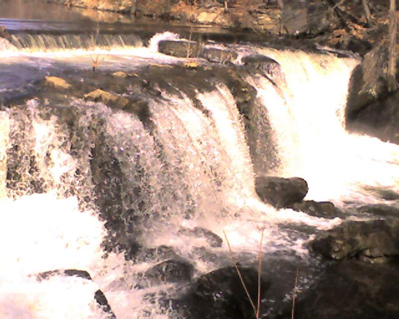
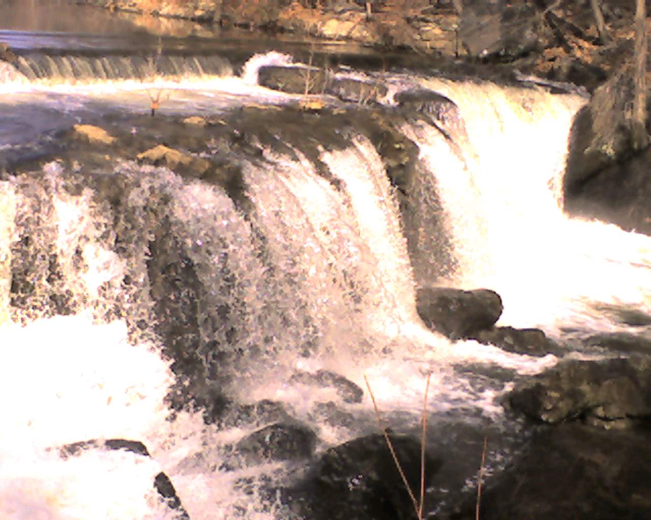
A dam and a Waterfalls at site of the former augusta furnace. Lousy portages on either side. Eroded trails, drops, prickle bushes.
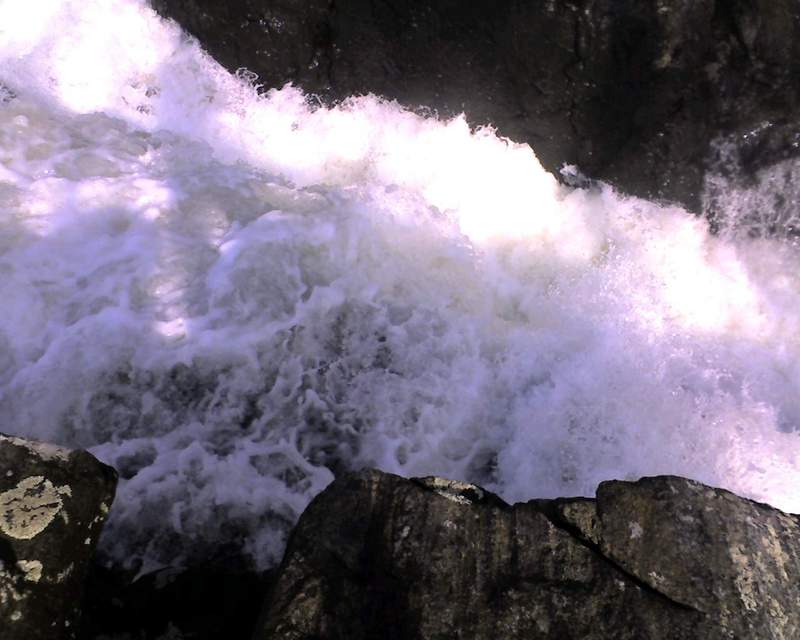
The falls (CL5 or CL6, I don't know, you decide. Run at your own risk. A paddler more experienced than me believes the landing may be too shallow.)

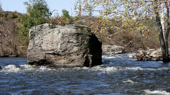
Toughest real rapids on the river. Barely class 2, but does require a move around a boulder mid rapid. Sort of a surfing spot at the bottom. Can be accessed by parking at the end of Lincoln Lane and paddling across the lake.
Exit from the lake is a left turn that catches wood and often has a squirt line.
Remains of another old dam above washington ave has about a 1' drop with surfing potential that never seems to be realized. ok access from east side of washington ave bridge. Pretty spot with obvious fisherman parking.
Portage on right. About a 6' drop into a lot of rip rap with a lot of wood. Has been run.
This one is pretty obvious and can be quite a hazard for beginners. The dam blew out on the left side and you'll see a pretty high concrete dam that looks like it crossed the river. Holds wood and the river pushes pretty hard against the dam which has a lip that comes into play.
Holds wood that at times has been pretty awkward and seldom visible from the river - in the main flow which is pretty powerful here.
Beginners should scout/portage by pulling out on river left on sandbars above the dam. Skilled paddlers who are unchallenged so far can probably stick to the inside.
Can be scouted from a school bus turnaround on 17 north immediately after the thruway bridge. With no leaves you get a pretty good view.
Island around community center has had some really awkward wood that's been a big issue for the aspiring beginners that often run this. Left usually looks more enticing but has been undercutting the bank. Beginners - be careful and if in doubt get out. There's enough flow to make things bad here.
Nice pull out for those with 2 cars. Pretty little park that is popular with locals on nice summer days.
Pullout under railroad bridge of below (but above sewage treatment plant). Carry across fields. Closest drivable access is usually at south end of fields. 80-150 yard carry depending on access.
Apr 17, 2022
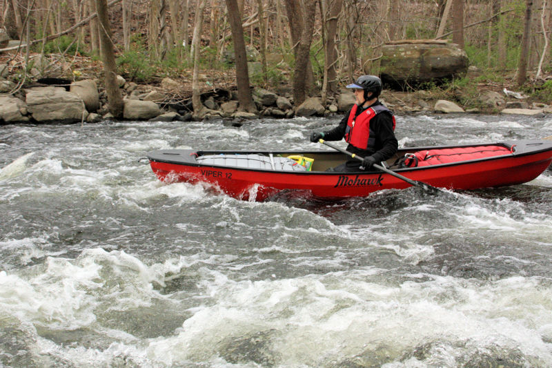
We ran the Ramapo during the Appalachian Mountain Club's annual trip. Our April 16 trip had lower water than our prior trips in March, making for a few scratchy sections to paddle over, but the warmer weather made it a great trip. There were many strainers on this trip, so expect to have a few portages. The trip started at the fisherman's parking lot in Tuxedo (GPS 41.195815, -74.183729). This lot fills quickly with hikers and fisherman, but the adjacent train station lot has plenty of parking. Our takeout was H. Pierson Mapes Flat Rock Park (GPS 41.135235, -74.163325), which currently has room for about 5 cars. At this level (2.9 feet at the Ramapo, NY gage), some of the rapids were an easy class 2. At higher levels, they're usually class 1+.
May 25, 2013
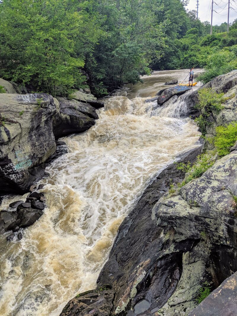
Rapids below tuxedo falls.