Ramapo
Tuxedo to Suffern
Apr 17, 2022
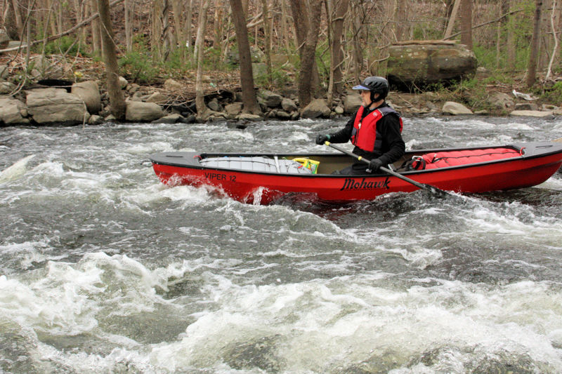
We ran the Ramapo during the Appalachian Mountain Club's annual trip. Our April 16 trip had lower water than our prior trips in March, making for a few scratchy sections to paddle over, but the warmer weather made it a great trip. There were many strainers on this trip, so expect to have a few portages. The trip started at the fisherman's parking lot in Tuxedo (GPS 41.195815, -74.183729). This lot fills quickly with hikers and fisherman, but the adjacent train station lot has plenty of parking. Our takeout was H. Pierson Mapes Flat Rock Park (GPS 41.135235, -74.163325), which currently has room for about 5 cars. At this level (2.9 feet at the Ramapo, NY gage), some of the rapids were an easy class 2. At higher levels, they're usually class 1+.
May 25, 2013
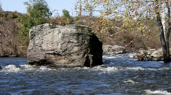
Rapids below tuxedo falls.
Feb 8, 2008
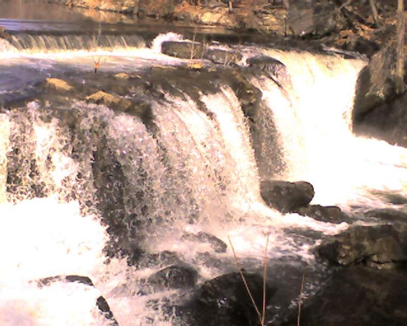
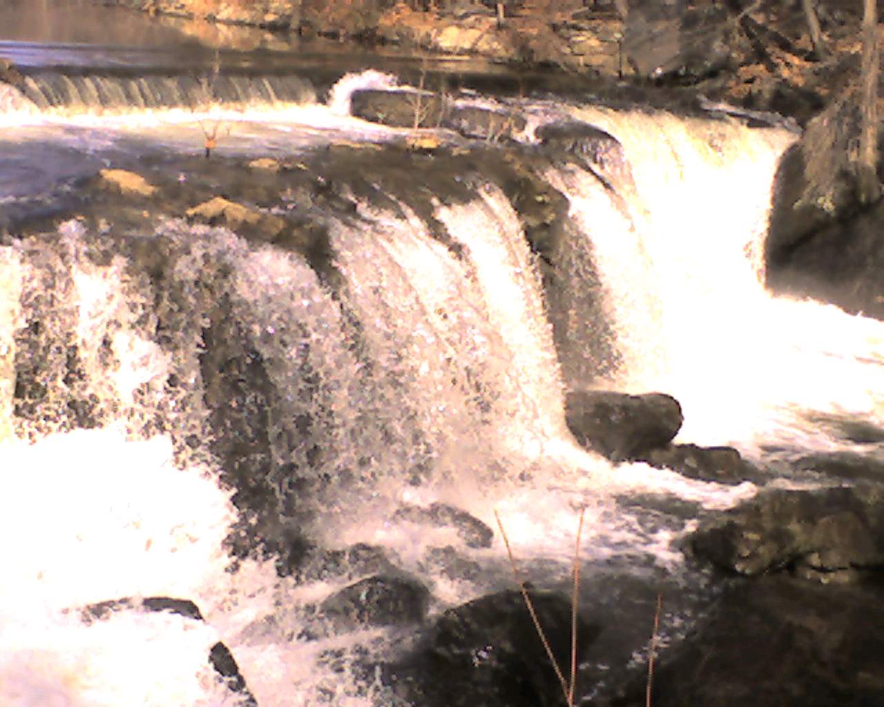
This is the first tier. The little low-head dam action at the top is about a 6 to 12 inches high, no a concern at this level. If I was standing on that be rock, I would not be able to see over. I guess the first drop is about seven feet. I guess at this level you could drop down, set up and run the secound half. I bet at higher levels you'll have to keep going but I'm just guessing.
Jan 1, 1900
Tuxedo Falls (behind Rino Construction)
Jan 1, 1900
A two tiered waterfall, CL5(?) in the background, the slide in the forground. AT 320 the river right was too shallow to run but at higher water it will be a sneak. Center, just left of the rock was runnable. Go right to avoid the hole, center you're running the hole left of that there's a rooster-tail, nature/cause unknown to me. All the way left was too shallow too run. I could not see what hazards lurked on river left but it looked like it was a # of small drops.
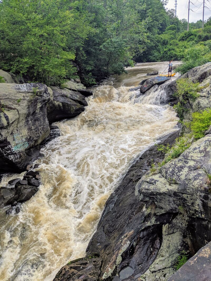
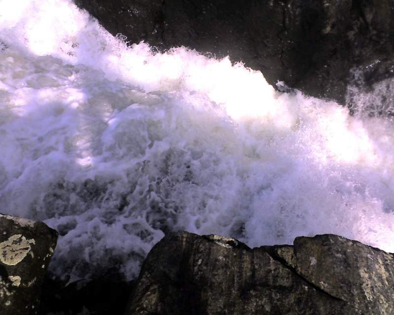
This is what you will be running if you drop down on river right. CL6? The left of center looks very doable, the right side, I donno. It reminded me of Dead Horse on Bulls Bridge. I took this shot from a rock I climbed up on.