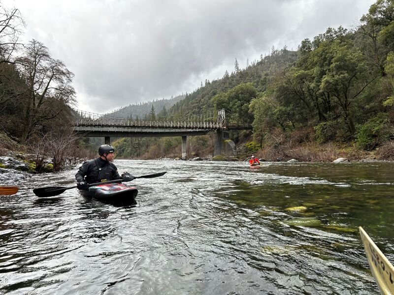
American, North Fork
3. Colfax-Iowa Hill Road to Yankee Jims Road(Chamberlain Falls)
| Difficulty | IV |
| Length | 4.8 mi |
| Avg Gradient | 41 fpm |
| Gauge | Nf American R a North Fork Dam Ca |
| Flow Rate as of 37 minutes | 75 cfsbelow recommended |
| Reach Info Last Updated | July 11, 2026 |
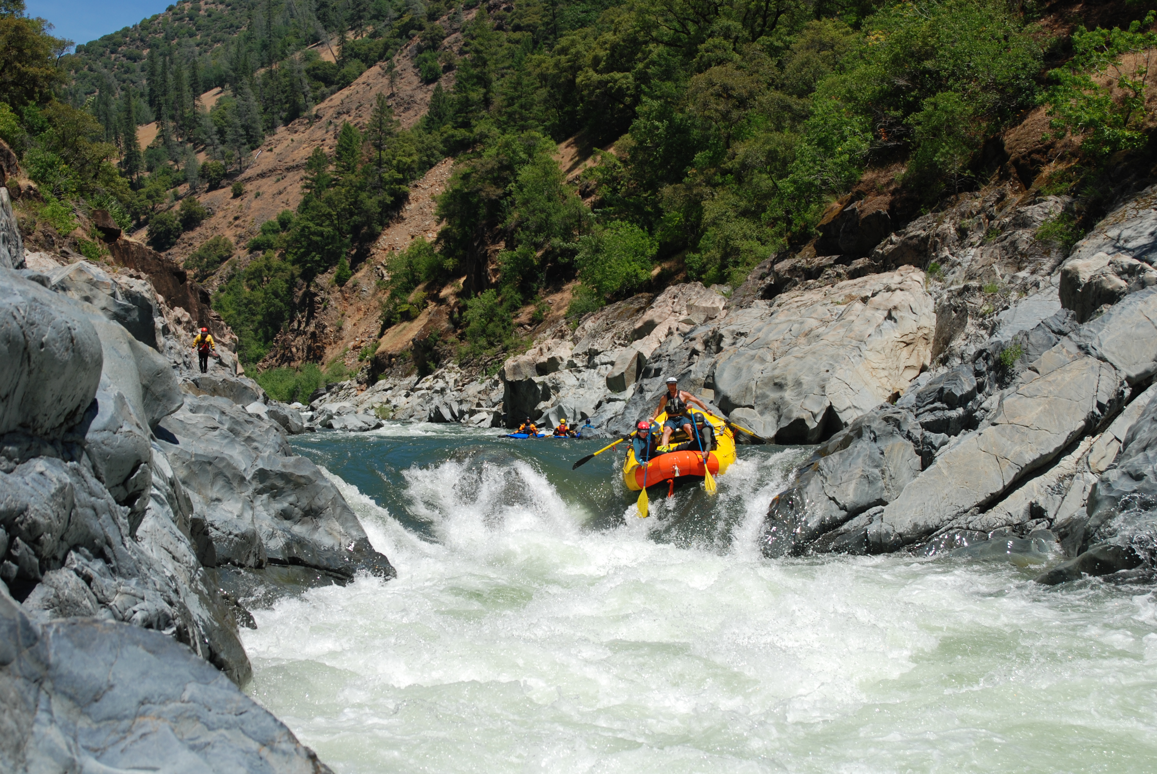
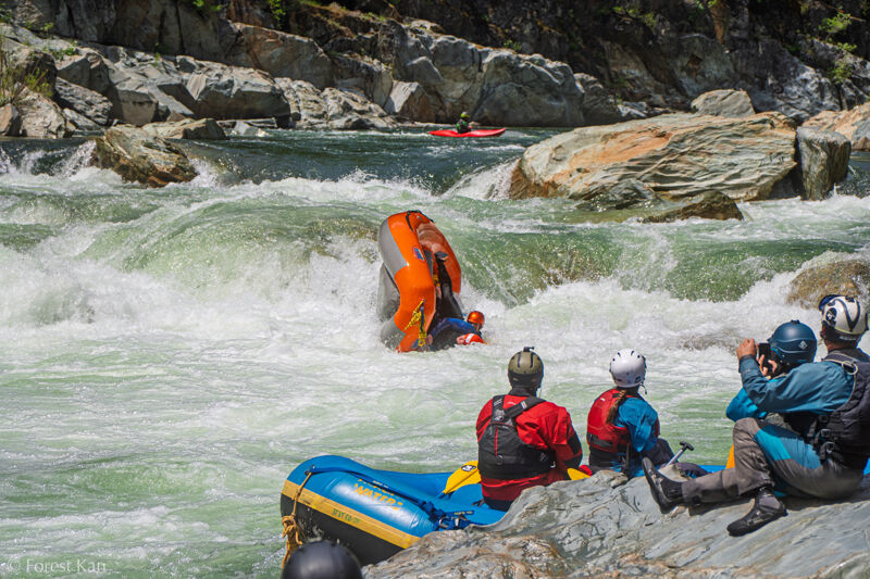
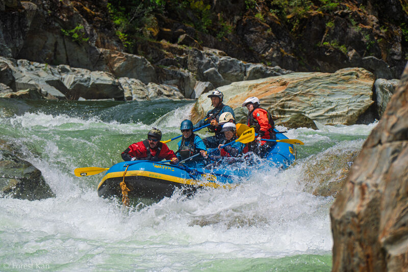
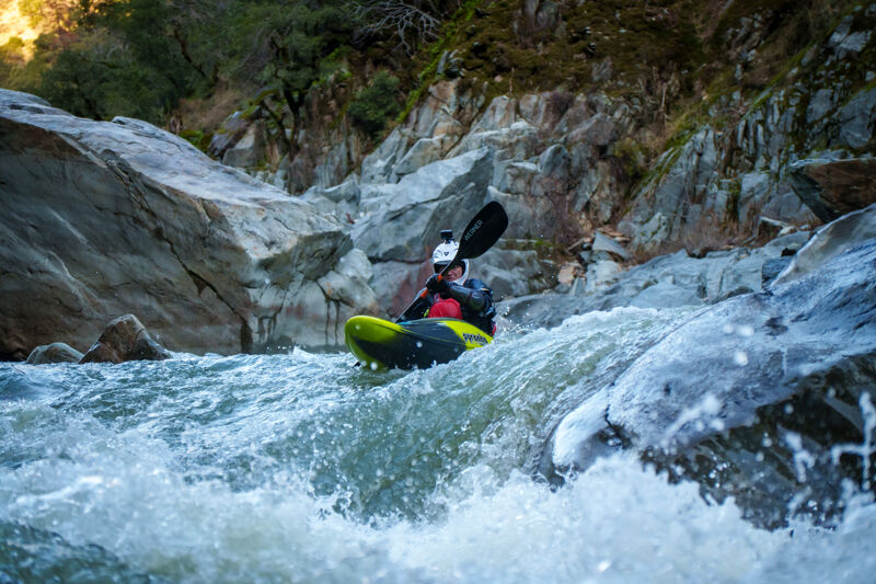
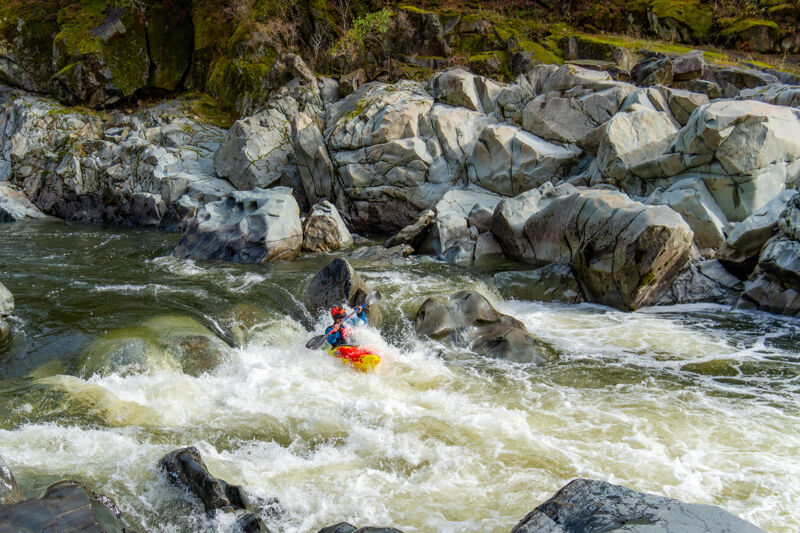
The North Fork Chamberlain run is a very popular run due to it's proximity to Sacramento, and great class IV white water. At 4.9 miles, it's a fairly short run, but it is stacked with rapids and flows typically December through June in an average year. If you are looking for fun class IV in the winter and sping, this run is perfect. It only takes a little rain to bring the levels up to a boatable level. 300-400 cfs is the bare-bones minimum, 1000-2500 the sweet spot for most boaters, and above 2500 increasingly pushy and difficult. It has been run as high as 20,000+cfs but this is the territory of big water class V boaters only. Be warned. Although this isn't a super hard class IV stretch, it has it's fair share of undercuts, and pin rocks and was the scene of several bad rafting accidents some years ago when rapids were in a somewhat different configuration than now. Due to the fact that it's run so often, it can be easy to underestimate the dangers. Boaters who use this run to jump from class III to IV, should be sure to go with an experienced group of boaters, and to scout and set up proper safety where needed.
Have cash or a California State Parks pass for put-in parking.
For more information, also check out CA Creeks, and Wet State, Holbeck and Stanley, Cassidy and Calhoun.
Camping is now permited in the following areas on the North Fork American:
· 2000’ downstream of Iowa Hill Bridge to 1000’ upstream of Yankee Jim Bridge
· 2000’ downstream of Ponderosa Bridge to 1 mile downstream of Codfish Creek
A permit is required. These can be picked up at the Auburn State Recreation Area Office.
Contact Auburn State Recreation Area Whitewater Recreation Office: (530) 823-4162
CA State Parks Gold Fields District Office: (916) 988-0205
On upstream river left side of the bridge. Administered by State Parks. Pass required.
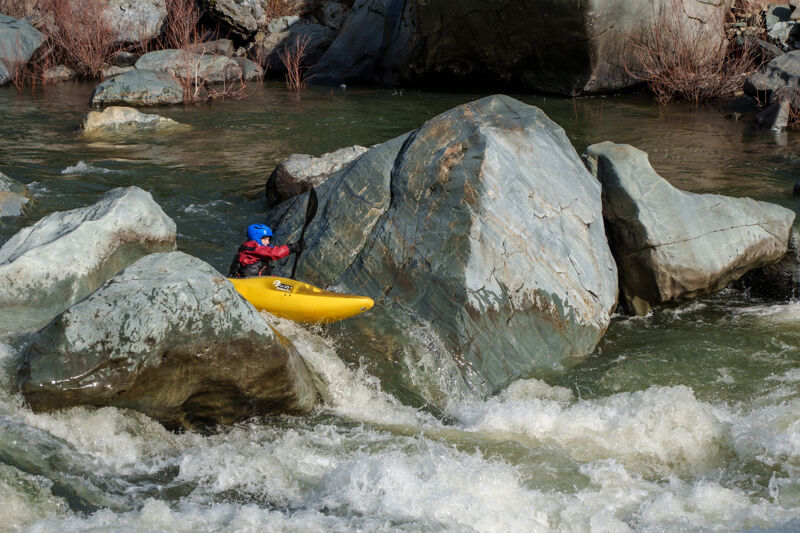
Large hole in the center. Most boaters take the tongue on the left.
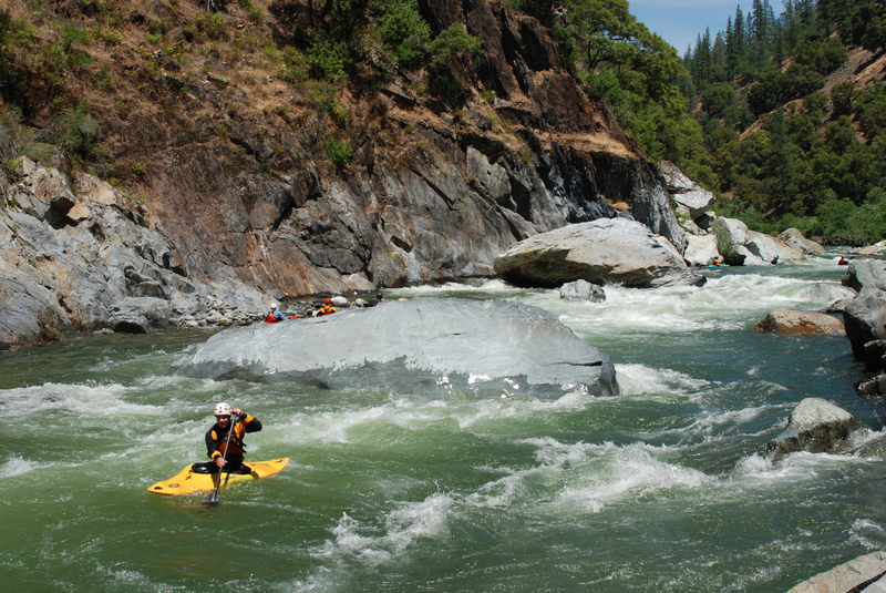
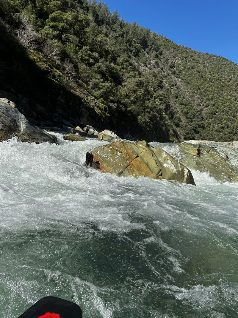
There is a large boulder in the middle of this run that makes the rapid challenging. One can run right down the middle, over a small hole, and down the tongue. You can also cut over to river left and catch a small channel down to the bottom. This rapid changes as the flows rise and fall. Be sure to scout this one.
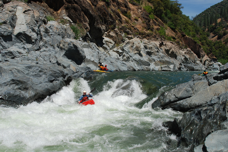
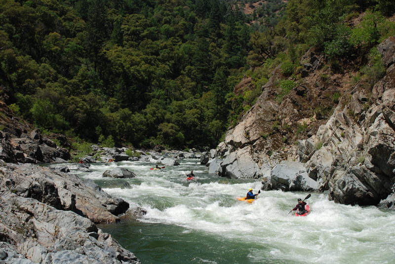
Read and run around large boulders. The rapid takes you far left, then right, then back to the right. At low to med flows, there are eddys that can be caught throughout this rapid.
Pick your way through small drops and waves to set up for the exit chute.
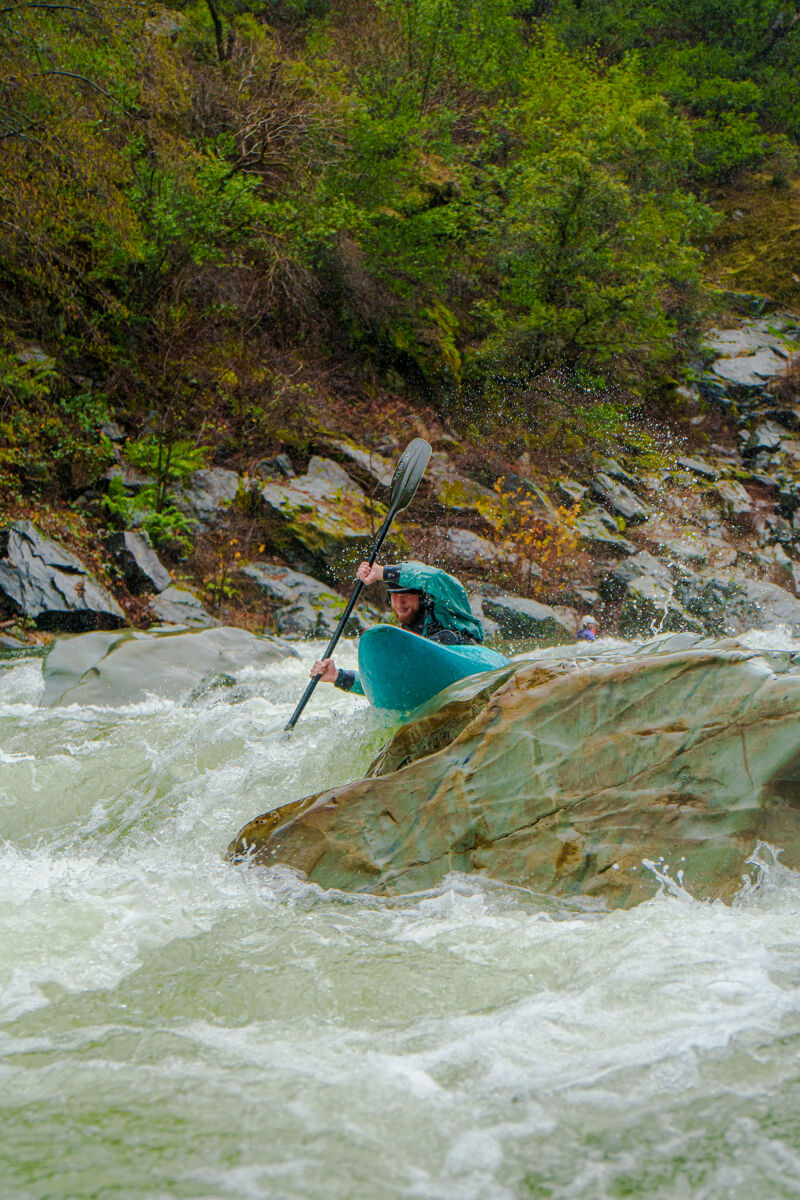
This rapid creates a great traditional spot to go for old school nose stands. It is the scene of many an icecream headache and missed roll in the dead of Winter.
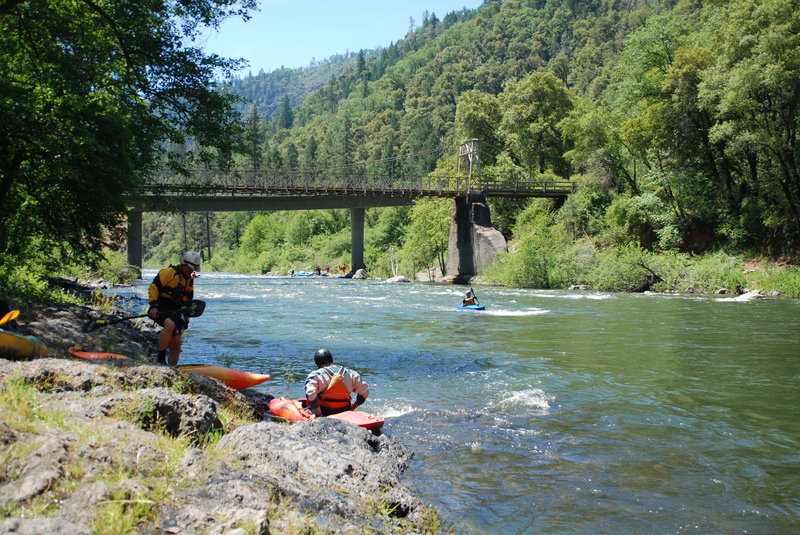
Take out on the beach river left upstream of the bridge
Dec 18, 2024