American, North Fork
3. Colfax-Iowa Hill Road to Yankee Jims Road(Chamberlain Falls)
May 22, 2025
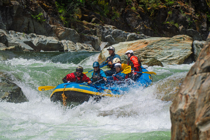
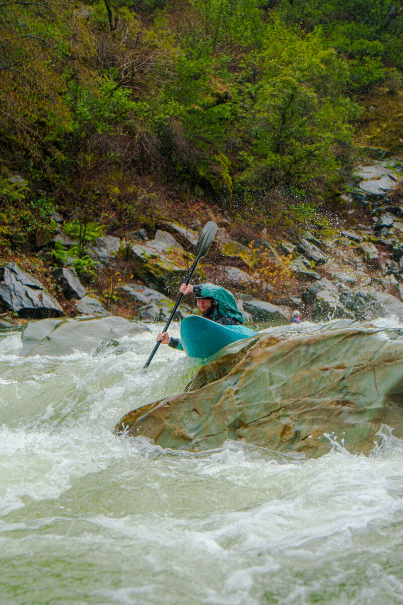
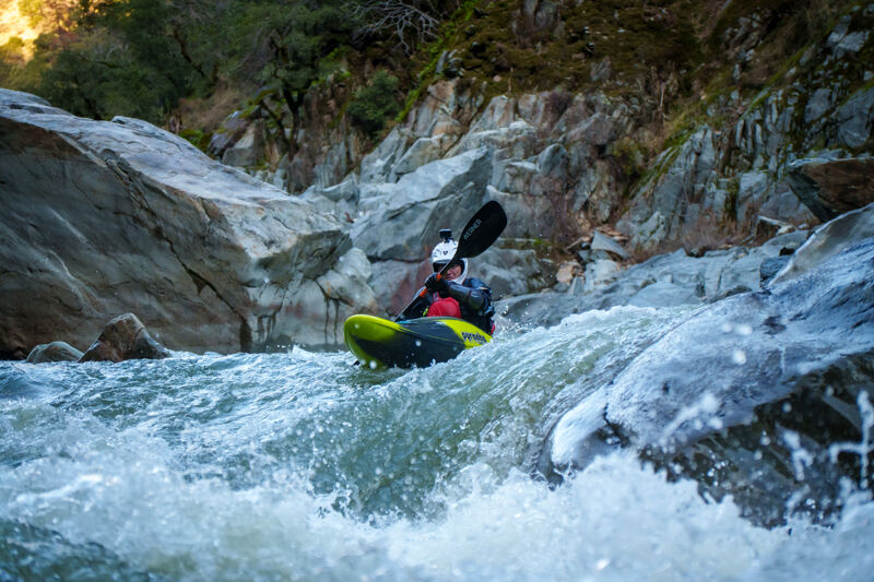
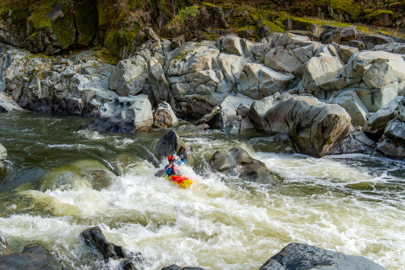
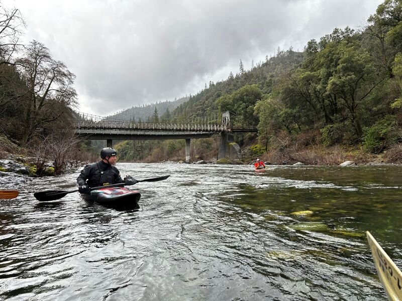
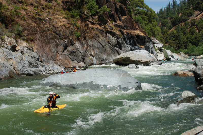
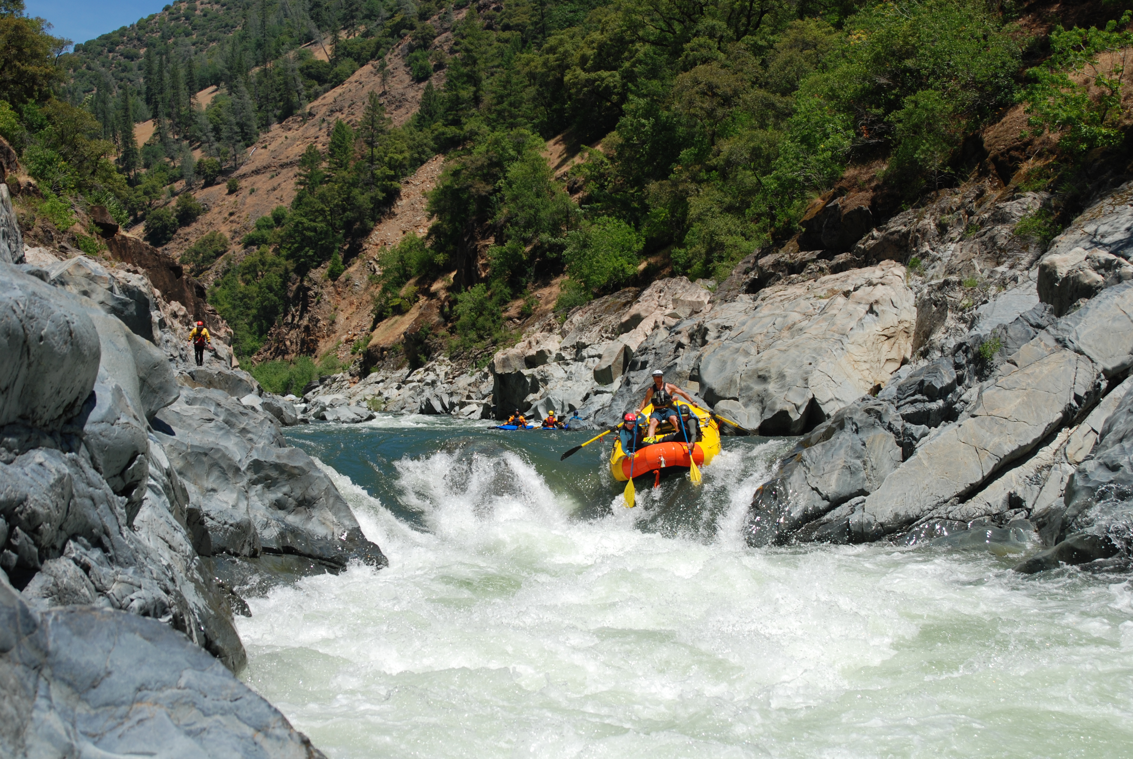
Various photos from the past season. Just in time for the bridge closure, which went into effect on May 19, 2025.
Dec 26, 2024
Dec 18, 2024
Nov 24, 2024
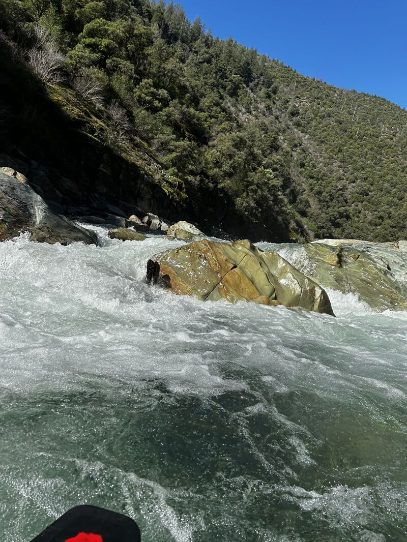
How low is too low? With an early season atmospheric river pointed towards the north state, a lot of us were playing the speculation game ala CNFRC forecasting. I personally settled on E to P the saturday (main brunt of the flows), and took the sunday on Chambies as a consolation prize. The storm peaked at 1500 on the clementine gauge saturday around 12pm, and quickly dropped out. Our group ran a leisurely lap from 10am to 2pm sunday and had steadily dropping flows.
Turns out this is about the lowest I'd go. Gauge at 0.8 at put in, probably lower. It goes, but it's just really scrapey. Most of our group portaged around the last drop on the left at Bogus.
Feb 10, 2024
Wood in Bogus Thunder. See attached photo from below. It is unknown exactly where the wood starts, but it sticks out downstream of the toaster slot.
Jan 20, 2024
Low flow Chamberlain lap - put in gauge was below the level to register (estimate 1.0), but the group agreed estimated flow was 600-700 CFS and rising. A bit boney in some areas, and Chamberlain Falls right line was certainly very tight. All of us in hardshells did just fine but needed to be vigilant for rocks in the channel.
Mar 26, 2021
Video from March 20, 2021 with approximately 900cfs: https://www.youtube.com/watch?v=Ho9QKJfCfPw
May 18, 2008
With a staff retreat and board meeting in Sacramento, the American Whitewater crew got out on the North Fork American River with the community.