Trip Reports
Log in to add a reportAJ
Andrew Jones
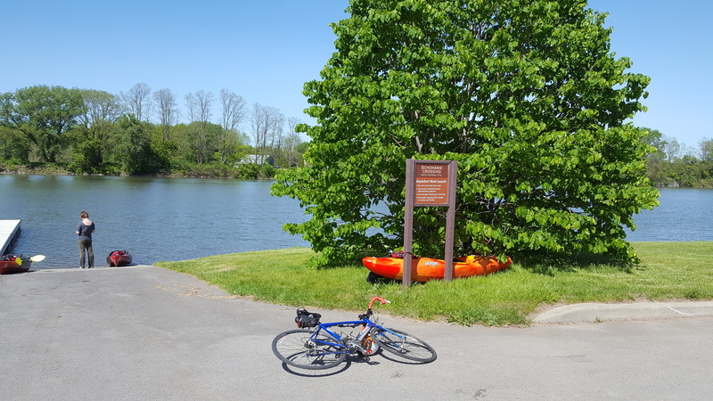
May 20, 2017
A very nice access point, with a boat dock, ramp, ample parking, a playground, picnic tables, and grills.
AJ
Andrew Jones
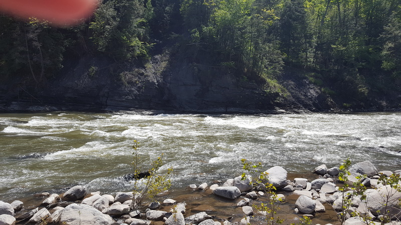
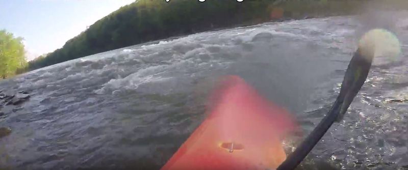
May 20, 2017
The creek narrows suddenly around a bend. Most of the water on this section is easy class II, but this rapid is class II+ even at low water. At this level, large holes had formed on river left and center, making river-right the safe path.
AJ
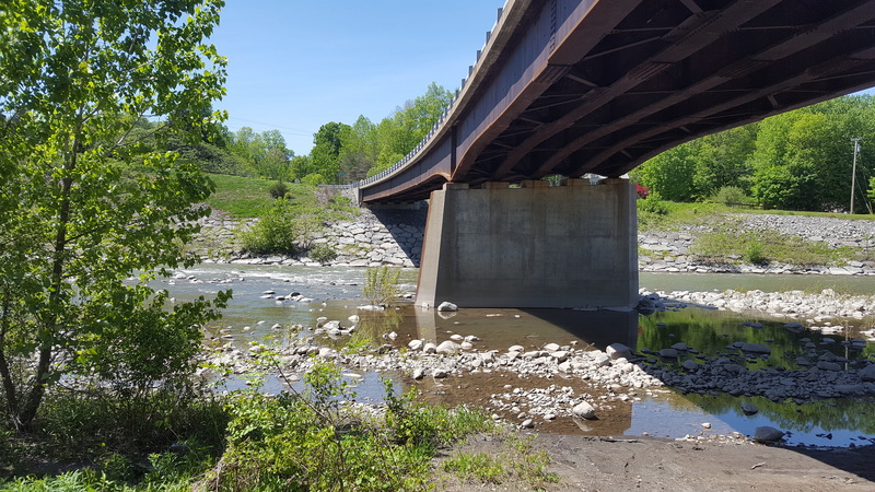
Andrew Jones
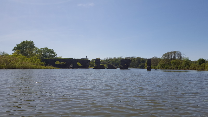
May 20, 2017
This old bridge marks the end of this paddle. The Fort Hunter takeout is right around the corner.
AJ
Andrew Jones
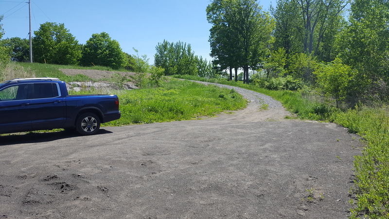
May 20, 2017
A small dirt road leads down under the Burtonville Bridge and gives access (put-in or take-out) to the creek.
AJ
Andrew Jones
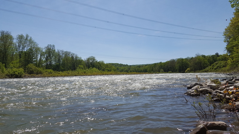
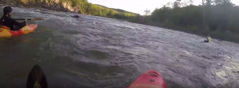
May 20, 2017
At the access point under the Mill Point Bridge is a fun wave-train. Put-in in the small pool in the forground, paddle upstream, then ride the waves (seen in the background) downstream.
AJ
Andrew Jones
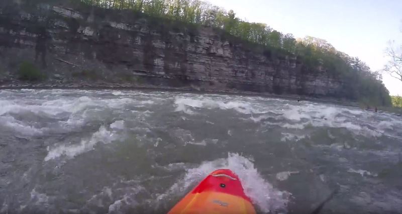
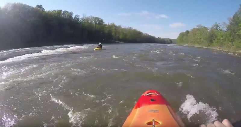
May 20, 2017
As you approach the large powerlines you'll enter a long section of class I-II rapids and rock gardens, one after the other. Several drops occur around small islands. In general, the larger faster water goes left, and the shallower slower water goes right.
AJ
Andrew Jones
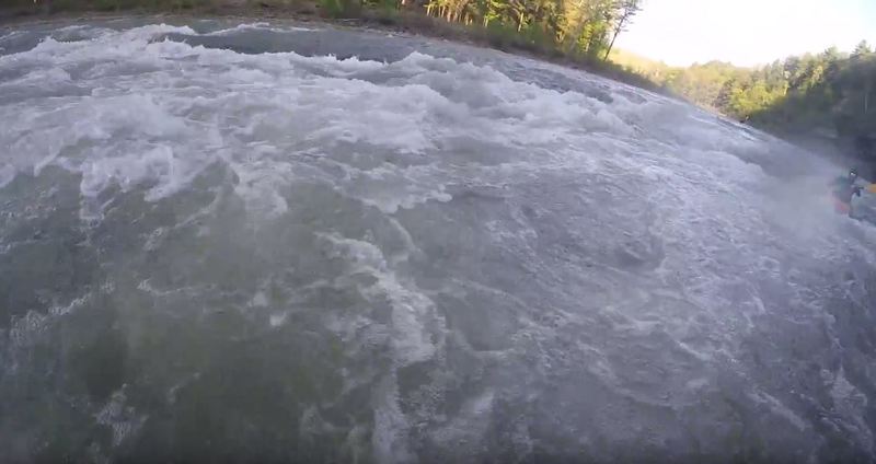
May 17, 2017
At mile 3 you enter the Schoharie Gorge, solid class II+ water for a long stretch. Ledge drop #3 is located here. At low water levels there is a little ledge drop before the real ledge 3, call it ledge 2.5.
AJ
Andrew Jones
May 17, 2017
The first ledge after 1.5 miles of flat water from Esperence.
AJ
Andrew Jones
May 17, 2017
The 2nd Ledge, almost 1.5 miles below ledge 1. This is a good play spot, with a large central wave-train that is easily accessed by large eddies on both river-left and river-right.
AJ
Andrew Jones
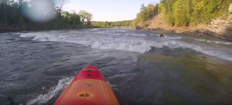
May 17, 2017
Lucky #7 (ledge 7) is a park-and-play spot at most water levels. You can put-in at the Burtonville Bridge and paddle up to play in the waves. It's nothing intense, but it makes for a nice practice spot. There are several eddies that let you catch the waves, and the water is deep for safe rolls.
AJ
Andrew Jones
May 17, 2017
Ledge #3 is located inside the gorge.
AJ
Andrew Jones
May 17, 2017
When the Burtonville Bridge comes into view, you'll hit ledges 4, 5, 6, and 7 in rapid succession.
TL
Tarrence Lasher
Oct 31, 2011
A lot has changed in this section after Hurricane Irene. I paddled Esperance to Burtonsville this week. The 3/4 of a mile above Burntonsville, in the 'gorge', there are several changes in the rapids. Half the flow is restricted by a new 'breakwater' at the entrance to the gorge. Large rocks have been piled up on the left side of the river; it looks like it could protect a harbor from ocean waves. The second ledge drop below is gone. It appears there is a new dam 100 yards below the two drops backing up water. The pool under the cliffs is much larger and the rapids just above the gauging station are much larger. Entering Burtonsville the river splits into three major channels. Previously the main flow was in the left 2, now the majoring of the water is headed to the right, eastern channel. We paddled at 2.7' on the gauge. On 10/30/11 I paddled the rest of the way to the Mohawk. Beautiful valley and river. Even though the river is flattening out there is still a couple solid class II rapids. Keep an eye open for the strainer on river left 1/2 mile below Mill point. It was a cold swim.