West Canada Creek, S. Branch
Fayle Road to Nobleboro
May 22, 2011
This is at 2,000 cfs, which should be the minimum. The last mile or so before the confluence was extremely boney at this level
May 22, 2011
At minimum runnable level of 2,000 cfs
May 22, 2011
After this rapid it got real boney. Wouldn't advise doing this run below 2,000 cfs. It's a blast above 4,000.
May 22, 2011
I have to agree with the above comment, and he may have been a bit easy on his comment. We ran it today at 2000 and i will never consider it at that level again. The second (2 mile long) rapid would be better run on an 4x4 ATV at 1000.
Sep 30, 2009
At 1000cfs this is a super scratchy run that is only a class II at most. Best leave it alone without more water. (madmike) Update, ran it on Oct. 3 2010 at 2000cfs. Still a class II cruiser and a bottom bruiser. More than 2000 would be desirable.
Apr 15, 2006
we found one flat stretch in several miles and decided to do a little kayak sledding with the left over snow. Hans was our probe in his canoe, this is Matt Filippelli in an M3.
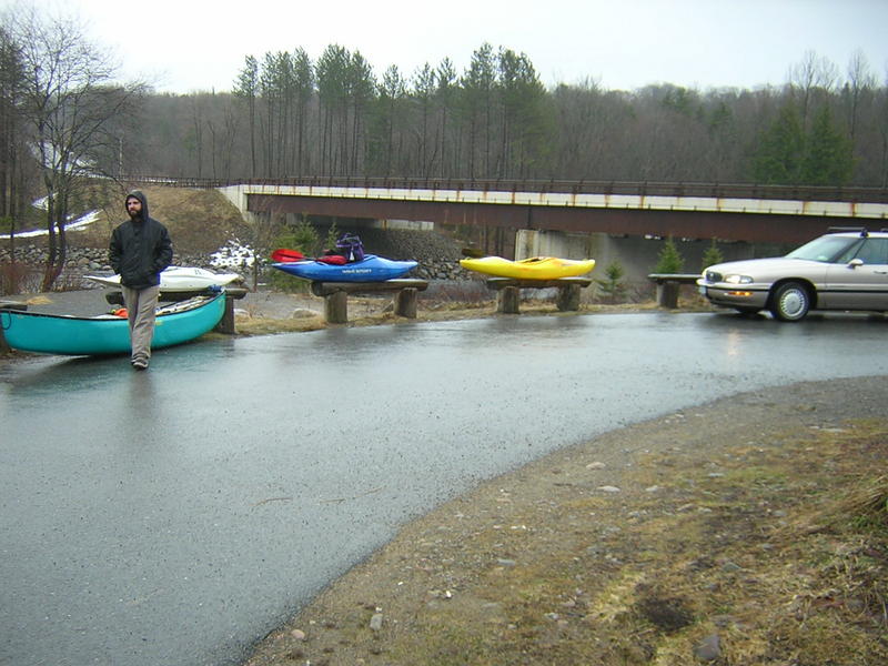
this is the take-out for WCC Big Brook to rt8 and the South Branch WCC sections. parking and access are excellent. there's also a level dependent wave above the route 8 bridge which can get 30' wide and a couple feet tall.
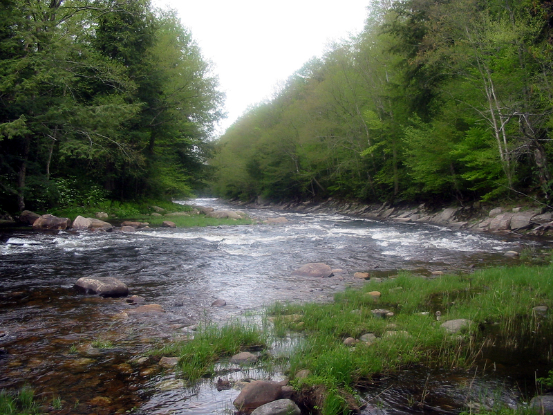
this is the put-in for WCC's South Branch. park to the right at the base of the dead-end. posted signs everywhere so don't wander into the woods. road signs were very bullet riddled.
it was Matt or Hans who said some places down south they put a case of beer on the hood of the shuttle car to apease locals. we were fine but kept our action discreet none-the-less.
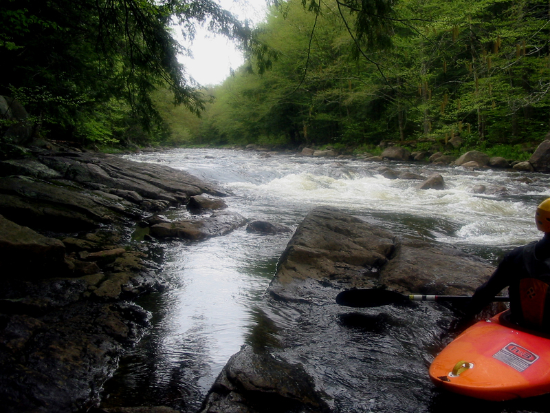
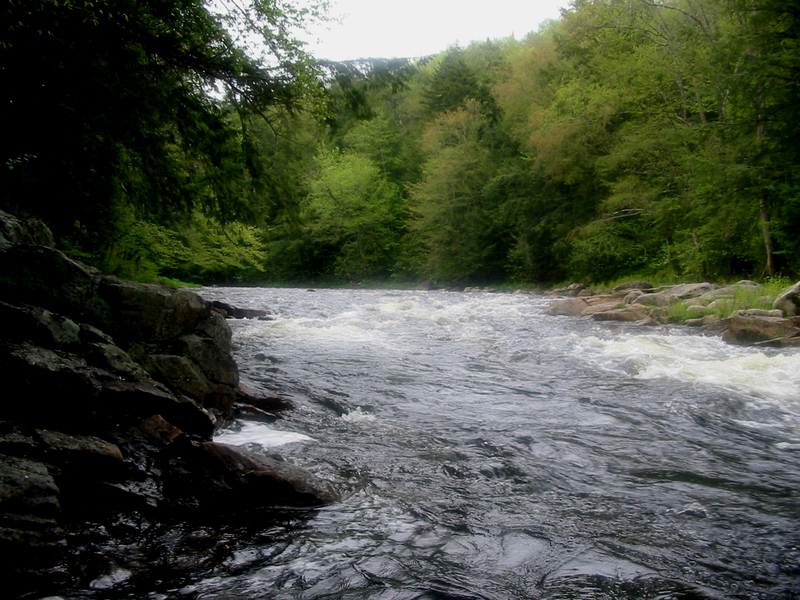
this was what we were looking for! after a mile plus of flat water the river started into many miles of class II-III. its a bit narrower than the main branch.
gage level is only approximate. its many miles down river and below the merge with the main branch, its still a good reference though.
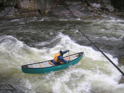
Hans shoots for a wave under a cable crossing (cables are not too low, but marked with large concrete abutments). after this the river gets fast/narrow and produces some large wave holes.
don't be fooled, the flat lasts for just over a mile, but only delays the gradient. the rest of the run has relentless class II and III rapids.
For the full-sized version of this photo, click here.