Rocky, W.Br.
2. Sprague Road to Cedar Point Road
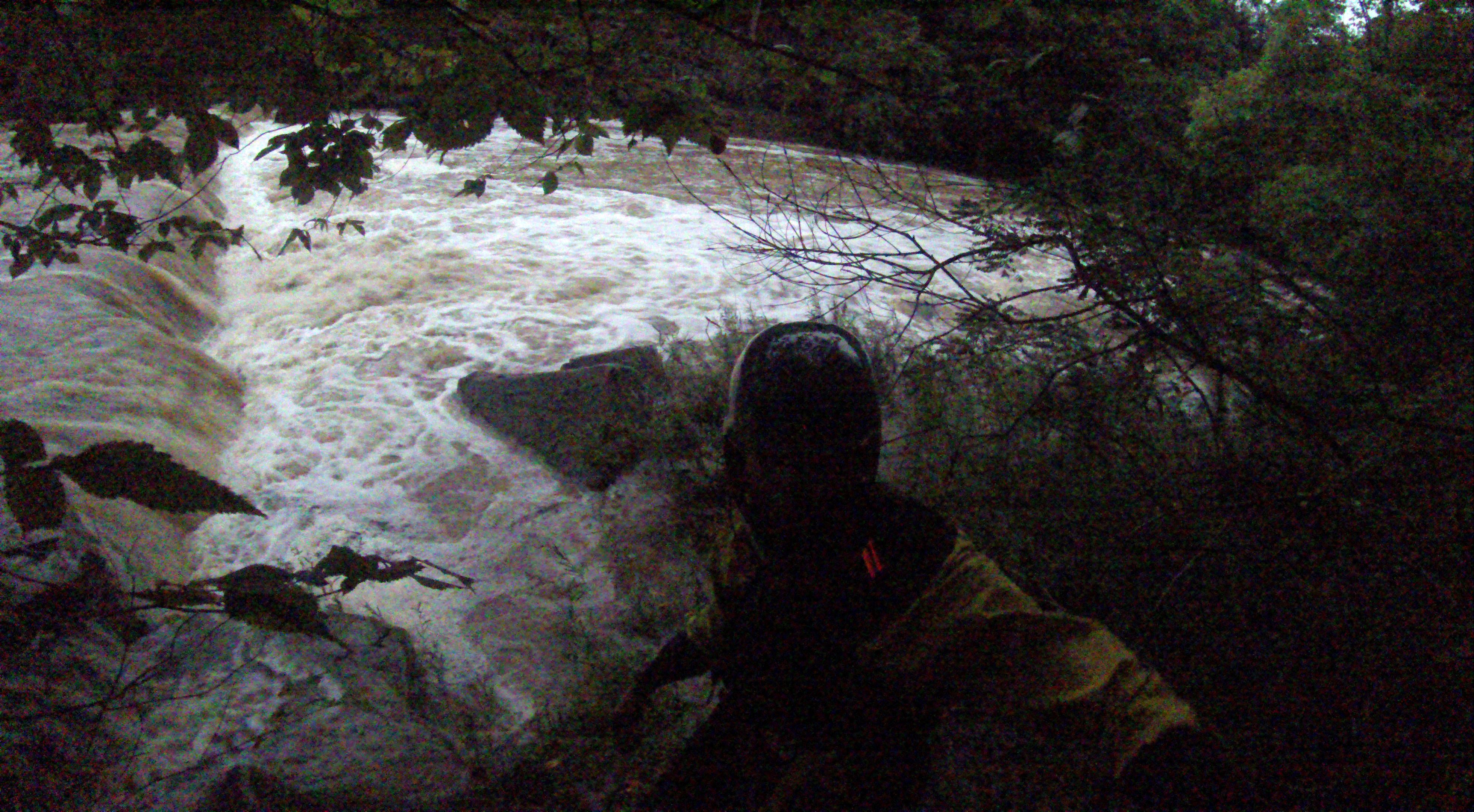
October 13, 2009
| Reporter | Unknown |
Gauge is on old RR piers just upstream of Bagley Rd. 1.5' Minimum and 4.0' maximum.
Another Gauge is on Sprague Rd bridge at Put-in.
There is a new USGS gauge at the confluence of East & West Branches at Cedar Point Rd.
http://waterdata.usgs.gov/oh/nwis/uv/?site\_no=04201500&PARAmeter\_cd=00065,00060,00010
I still do not have a correlation to the old gauges