Rocky, W.Br.
2. Sprague Road to Cedar Point Road
Oct 22, 2014
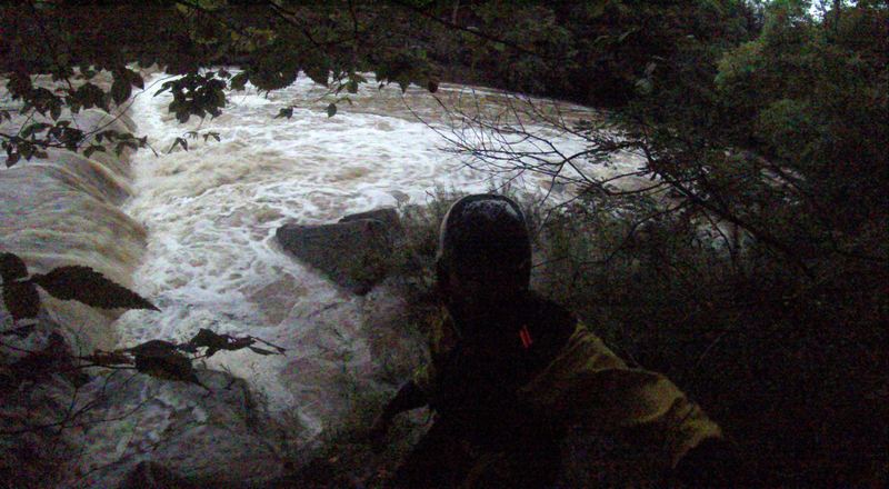
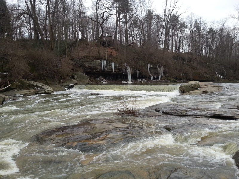
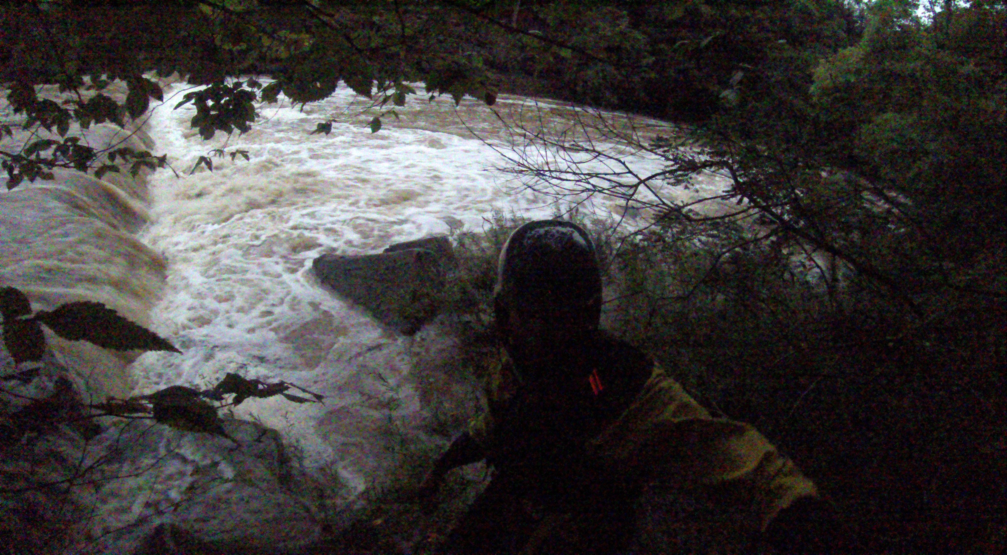
i ran this on 9/11/14 at about 1700cfs (3 feet i think) with one other paddler at sunset. we eddied out and scouted the first dam on river right then did a river-wide ferry to run it on river left. there is a small part of the drop on the center-right where the hydraulic appears to be very flushy, and wash you downstream immediately instead of keeping you. it looks runnable and rather easy if you know the line, as long as you can catch a river right eddy before a large strainer ~40 feet downstream, which would be extremely easy if you don't swim. haven't ran it, but seems like an interesting alternate line if you scout it and know what you're doing
Sep 12, 2014
First dam from river right. Eddied out and scouted on the right, followed by a ferry to far river left. 1700+ seems to be a fun level
Mar 8, 2013
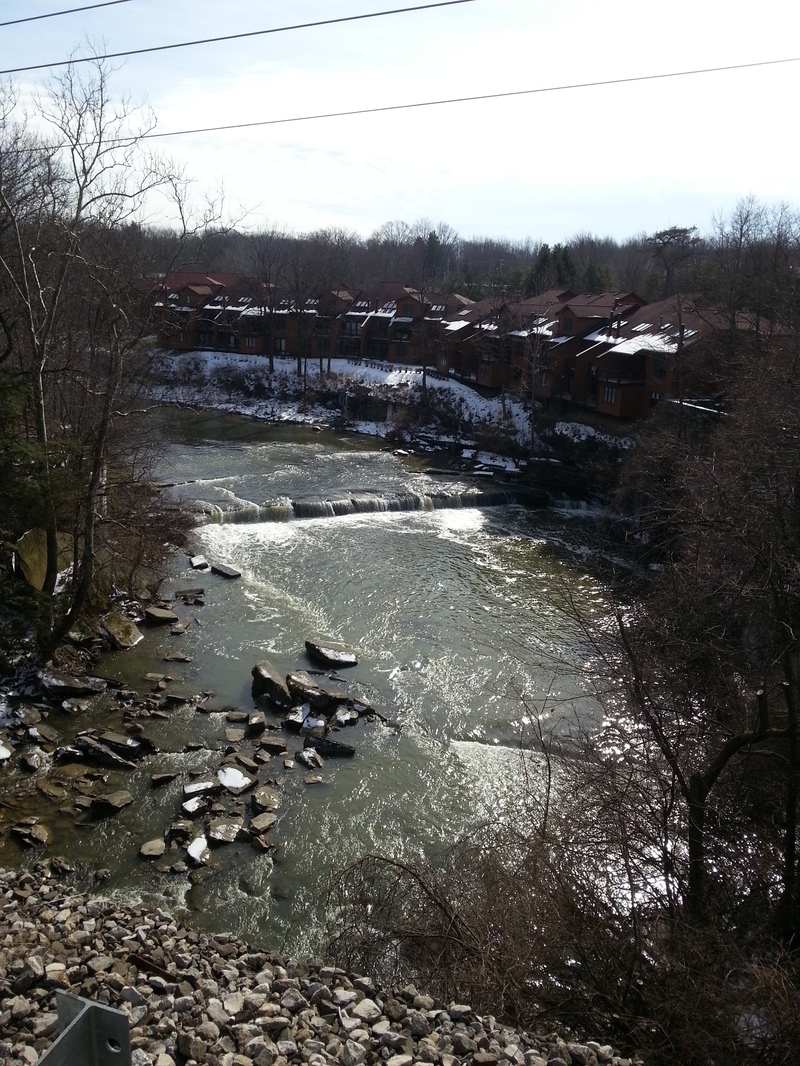
taken from the train bridge
Feb 13, 2013
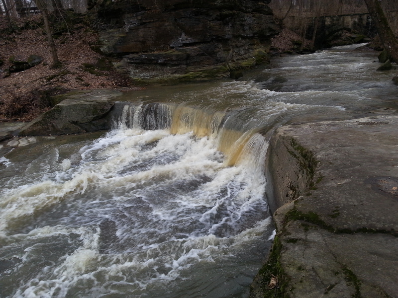
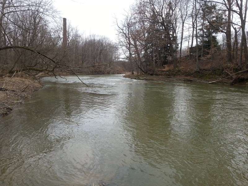
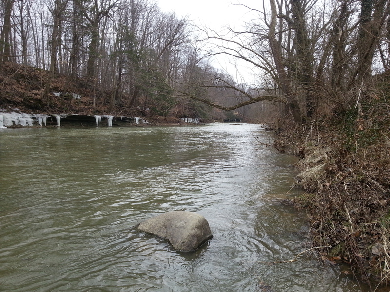
On 2/12/13 I walked as much of the shoreline as I could on this stretch of the river.The river was flowing at approx. 900 cfs.@2.7 ft. I have posted the numerous photos that I took along the way while scouting for future trips. The river at Sprague Rd. was narrow at this point and had good flow. As I moved down stream the river widened and flattened out quite a bit, but as the many tributaries along the way dumped more water into the river it picked up pace. The river was clear of fallen trees from what I could tell , but there is potential for trees to fall and cause strainers. This section is very scenic and at higher levels shows promise to be a fun paddle. Just above the second dam (at lower water levels )there is a large shelf that directs all the water through a small shoot on river left. There is quite an undercut in the rock there. I would advise to scout first and watch you head. Just beyond this you will come to the second dam. A death machine. stay river left and take the slide on river left. It looked like it would be fun at around 1200-1500cfs. There is a bridge here and a good takeout on river left just past the bridge.
Happy paddling, Tom Peterson
Feb 13, 2013
Running at approx 900cfs on 2/12/13
Feb 13, 2013
I didnt get to paddle this but got some good pics for beta. This is the dam just upstream from Sprague rd. Running at approx 900cfs on 2/12/13
Feb 12, 2013
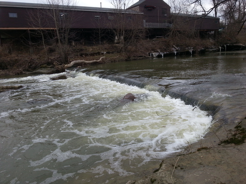
The dam from river left facing upstream
at 900 cfs there might not be enough water to get up on the slide at river left. You definitely dont want to run this dam.
Feb 12, 2013
This is a small drop from a tributary that runs in at the second dam
Feb 12, 2013
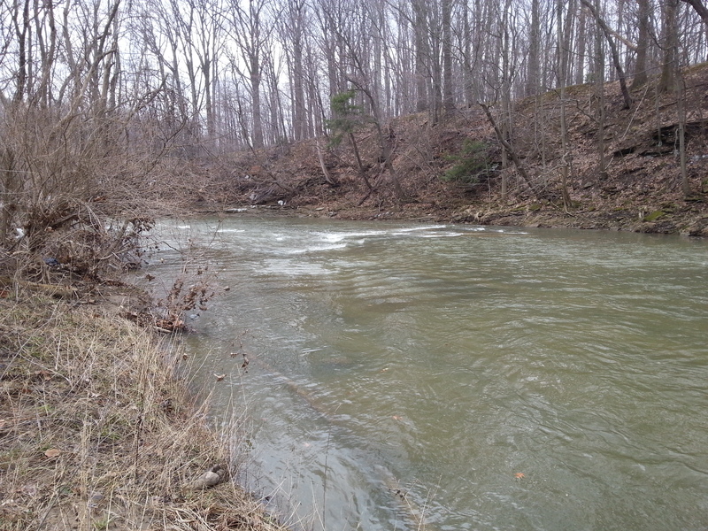
The river widens and flattens out
Feb 12, 2013
These photos are in progression moving down stream
Feb 12, 2013
Take out
Oct 13, 2009
Gauge is on old RR piers just upstream of Bagley Rd. 1.5' Minimum and 4.0' maximum.
Another Gauge is on Sprague Rd bridge at Put-in.
There is a new USGS gauge at the confluence of East & West Branches at Cedar Point Rd.
http://waterdata.usgs.gov/oh/nwis/uv/?site\_no=04201500&PARAmeter\_cd=00065,00060,00010
I still do not have a correlation to the old gauges