Rocky, W.Br.
2. Sprague Road to Cedar Point Road
| Difficulty | II-III |
| Length | 5.5 mi |
| Avg Gradient | n/a |
| Gauge | Rocky River Near Berea Oh |
| Flow Rate as of 25 minutes | 120 cfsbelow recommended |
| Reach Info Last Updated | May 20, 2025 |
Put-in at Sprague Road, just downstream of a dam. Two miles downstream, two more low-head dams lie about a quarter-mile apart.
ODNR -Boating on Ohio's Streams in Northeast OH
PADDLERS MUST CALL OLMSTED FALLS FIRE DEPARTMENT AT 440-235-3238 BEFORE PADDLING. Tell them the number of paddlers and your launch time.

Upstream our listed put-in, it is (approximately) 14 river-miles to the prior listed section. While this intervening section of river might certainly be paddled, it has much less interest from a whitewater perspective than our two listed sections (I.E., it contains almost no true rapids). Much of that distance is very rural, but nearly 1.5 miles will be flanked by Columbia Hills Golf Club, and more than a quarter-mile (near the end) viewing the extensive greenhouses of Casa Verde Growers.
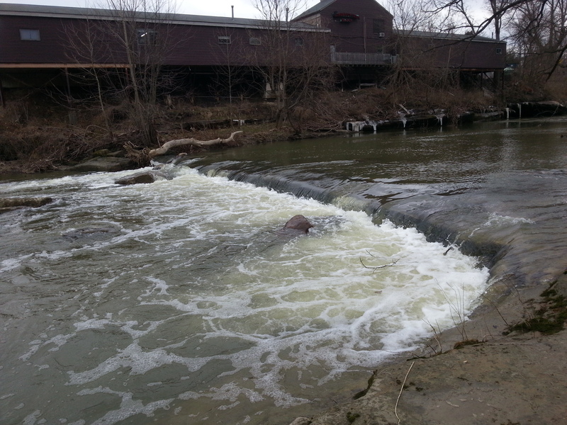
Just upstream of the put-in, a dam straddles the river behind Gibbs Butcher Block. Put-in is below this dam. (Note: Photo is at 900 cfs, and shows the rocks in various areas of the landing zone, as well as showing how uniform the boil-line is.
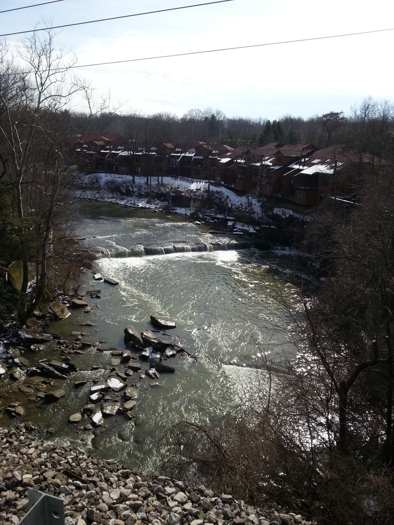
Downstream of Bagley Road, the stream swings a tad to the right, then sharply left. The river-left shore is lined with four extended buildings. As you near the end of the last building, the first dam looms.
This can be run far on the left or far right up to 2.75'. From 2.75' to 3.5', portage on river right from immediately above dam. Above 3.5', takeout just below Bagley Road to portage this dam.
Just downstream you'll pass under railroad tracks which have a center-river pier which tends to accumulate woody debris. Be careful!
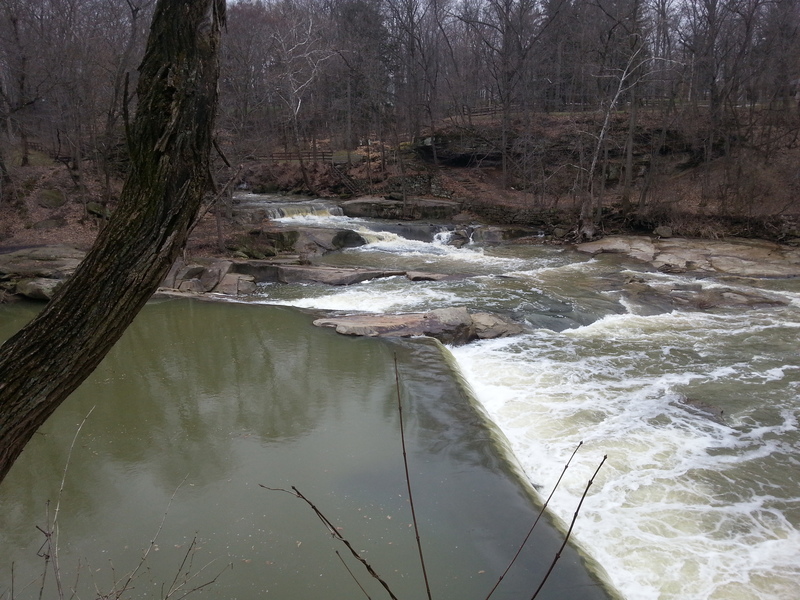
The second low head dam is just a quarter-mile downstream, and lies just upstream of the Water Street bridge.
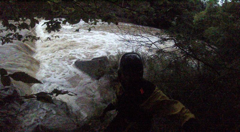
DO NOT run the main dam. A natural slide on river-left (right side of photo below) may be run at levels up to 3'.
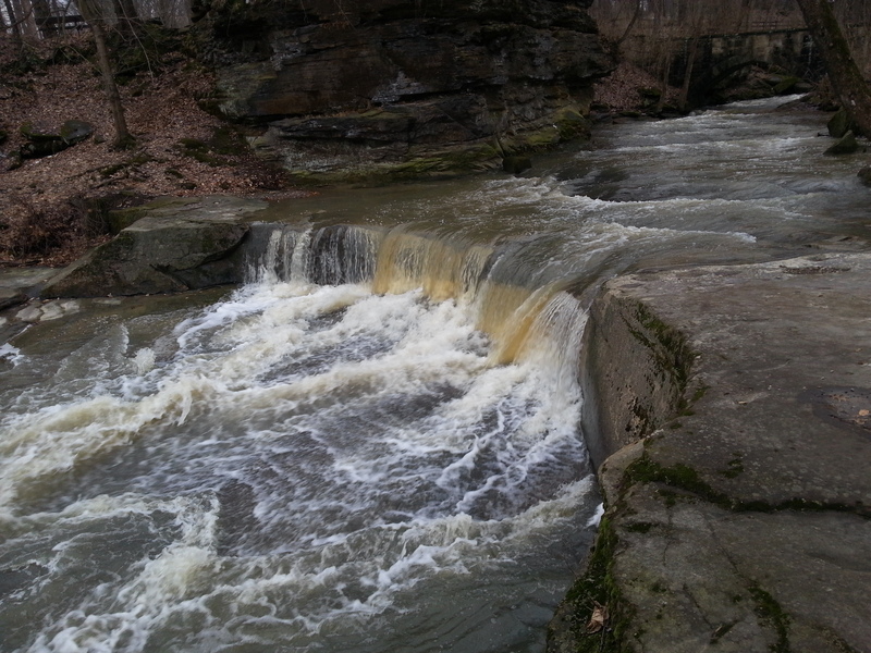
Coming in from river-left just below the second dam, Plum Creek spills across a fine little falls.
A fairly large island splits the flow. River-right may carry the bulk of flow, and may have a fun wave-train as flow heads to where the currents rejoin.
Oct 22, 2014
i ran this on 9/11/14 at about 1700cfs (3 feet i think) with one other paddler at sunset. we eddied out and scouted the first dam on river right then did a river-wide ferry to run it on river left. there is a small part of the drop on the center-right where the hydraulic appears to be very flushy, and wash you downstream immediately instead of keeping you. it looks runnable and rather easy if you know the line, as long as you can catch a river right eddy before a large strainer ~40 feet downstream, which would be extremely easy if you don't swim. haven't ran it, but seems like an interesting alternate line if you scout it and know what you're doing
Sep 12, 2014
First dam from river right. Eddied out and scouted on the right, followed by a ferry to far river left. 1700+ seems to be a fun level
Mar 8, 2013
taken from the train bridge
Feb 13, 2013
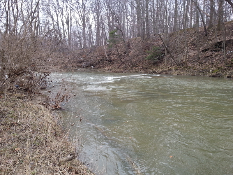
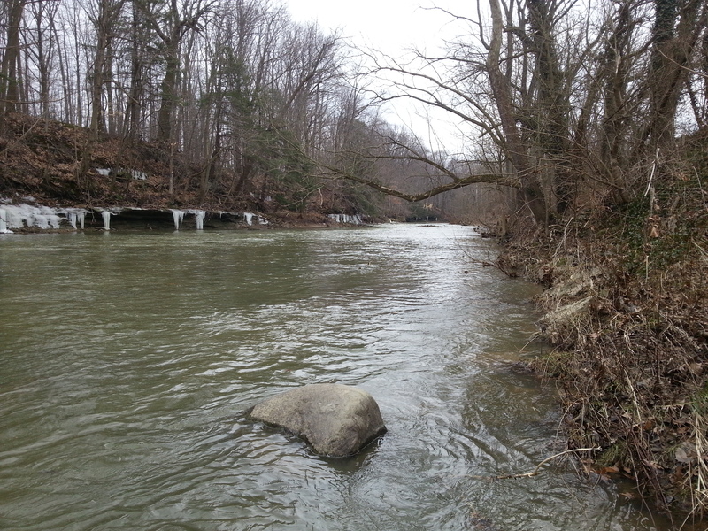
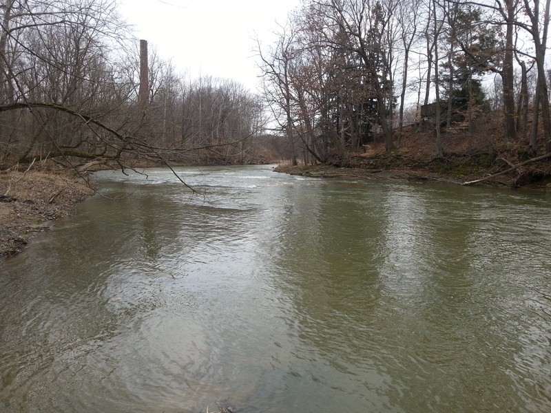
On 2/12/13 I walked as much of the shoreline as I could on this stretch of the river.The river was flowing at approx. 900 cfs.@2.7 ft. I have posted the numerous photos that I took along the way while scouting for future trips. The river at Sprague Rd. was narrow at this point and had good flow. As I moved down stream the river widened and flattened out quite a bit, but as the many tributaries along the way dumped more water into the river it picked up pace. The river was clear of fallen trees from what I could tell , but there is potential for trees to fall and cause strainers. This section is very scenic and at higher levels shows promise to be a fun paddle. Just above the second dam (at lower water levels )there is a large shelf that directs all the water through a small shoot on river left. There is quite an undercut in the rock there. I would advise to scout first and watch you head. Just beyond this you will come to the second dam. A death machine. stay river left and take the slide on river left. It looked like it would be fun at around 1200-1500cfs. There is a bridge here and a good takeout on river left just past the bridge.
Happy paddling, Tom Peterson