Rocky, W.Br.
2. Sprague Road to Cedar Point Road
February 13, 2013
| Reporter | Tom Peterson |
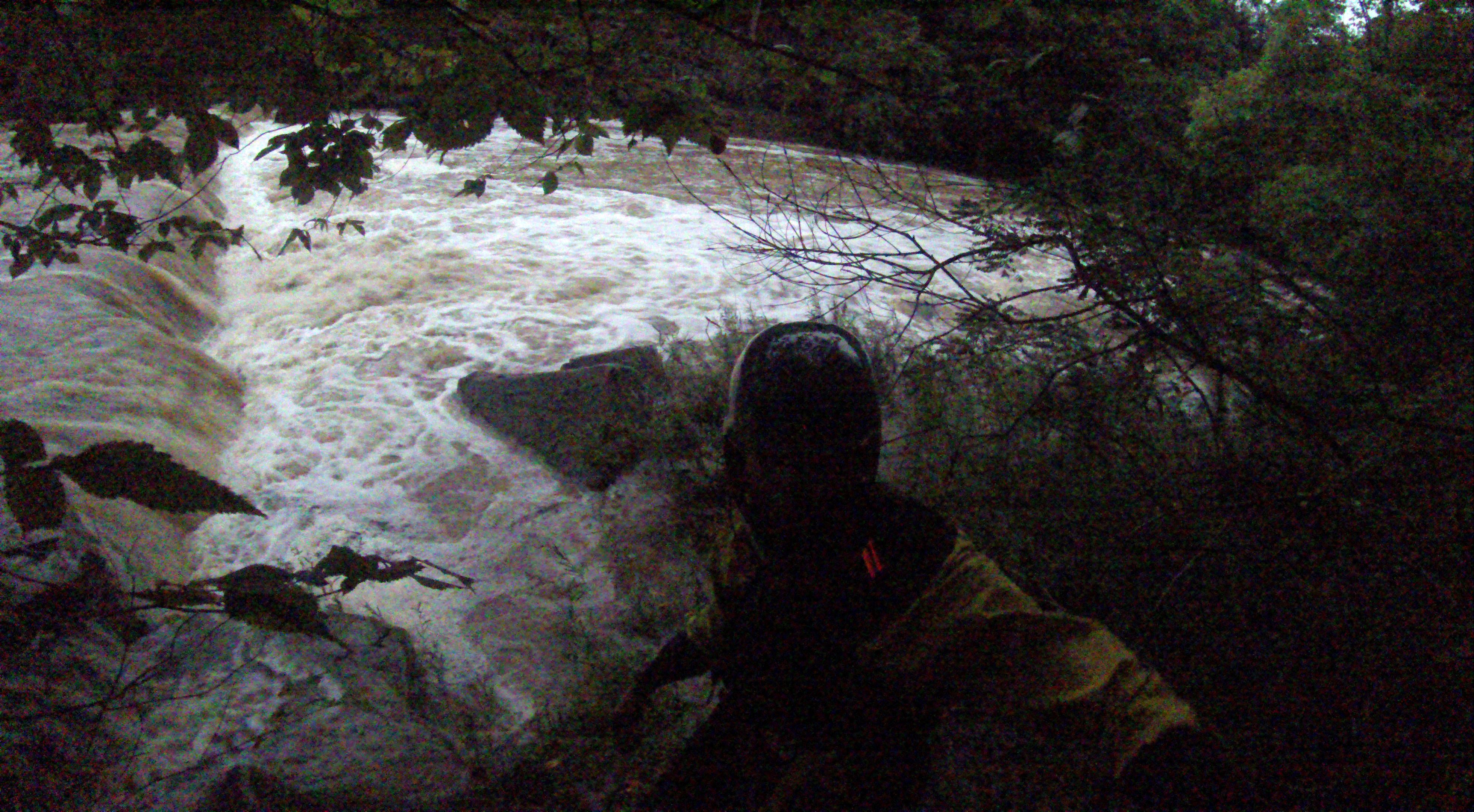
On 2/12/13 I walked as much of the shoreline as I could on this stretch of the river.The river was flowing at approx. 900 cfs.@2.7 ft. I have posted the numerous photos that I took along the way while scouting for future trips. The river at Sprague Rd. was narrow at this point and had good flow. As I moved down stream the river widened and flattened out quite a bit, but as the many tributaries along the way dumped more water into the river it picked up pace. The river was clear of fallen trees from what I could tell , but there is potential for trees to fall and cause strainers. This section is very scenic and at higher levels shows promise to be a fun paddle. Just above the second dam (at lower water levels )there is a large shelf that directs all the water through a small shoot on river left. There is quite an undercut in the rock there. I would advise to scout first and watch you head. Just beyond this you will come to the second dam. A death machine. stay river left and take the slide on river left. It looked like it would be fun at around 1200-1500cfs. There is a bridge here and a good takeout on river left just past the bridge.
Happy paddling, Tom Peterson