Tinker's Creek
Tinker's Gorge in Bedford Reservation
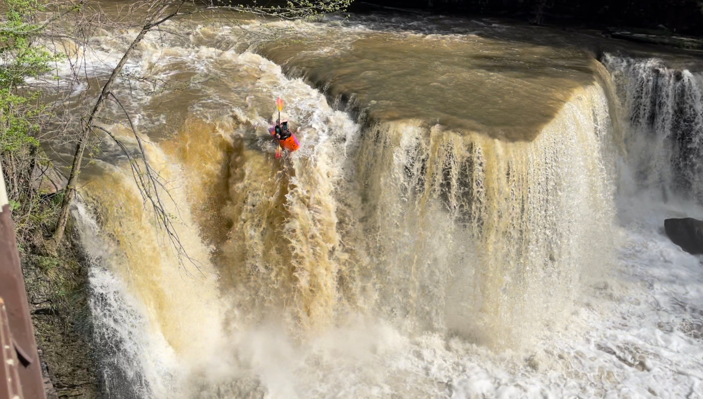
| Difficulty | III-V(V+) |
| Length | 4.3 mi |
| Avg Gradient | 55 fpm |
| Gauge | Tinkers Creek at Bedford Oh |
| Flow Rate as of 26 minutes | 33 cfsbelow recommended |
| Reach Info Last Updated | September 3, 2023 |
*Wood Alert* Every paddler entering this creek should be on alert for new wood. Always scouting your lines in boat or out. Wood here comes and goes just as often as it rains. Wood and strainers can even become a semi-permanent feature, or can come and go within the hour.
Gauging Flows
This creek can jump 1000 cfs in an hour in certain conditions. For this reason, the safest approach is to watch the gauge during and after rainfall, then put on while its dropping into your comfort range of flows. Keep in mind that forecasted rainfall can cause additional spikes while on the water.
Notice: A Sept 2020 rain event flooded the river to 5000 cfs causing significant changes to the rapids immediately below the Tunnel. The most notable changes occurred in Tight Slotz, Regional (Rockpile), and S-Turn. The rapids became less technical but opened up multiple lines.
Description
Tinker's Creek requires heavy rainfall, and can spike and fall quickly. The beginning is a half mile warmup section, offering some surf, wave trains, and playful eddies. As a paddler approaches the Great Falls, the scenery starts to change quickly - entering into a deep tight gorge of shale and sandstone. Once at The Tunnel, a paddler is now committed to a half mile of continuous whitewater called The Meat (approx 80ft of gradient in 0.5 miles, 100ft if running the falls). After the meat, the gorge opens up into a wide view of scenic cliffs and ravines. The creek then offers up a lot of class 1-2 waves, holes, surf, and stunning views for the last 3 miles all the way to the takeout.
Runnable after heavy rain. Technical and playful, this is some of the funnest stuff in Ohio when it's running. AW Article from 5-6/1999, with pictures Careful on this crick; there are pinning spots and strainers in unpredictable places. Important:
...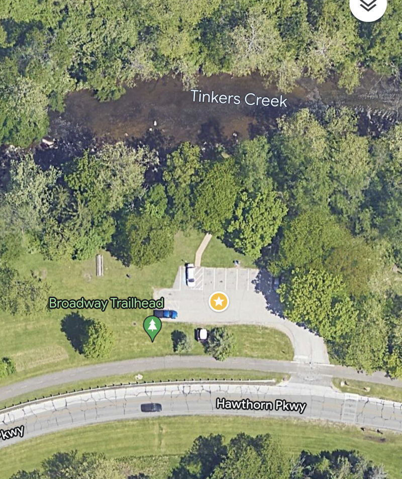
The Broadway and Hawthorn Pkwy Trailhead putin is the traditional putin for doing a full run. Putting in here allows paddlers a great warmup with surf, wave trains, and eddy lines.
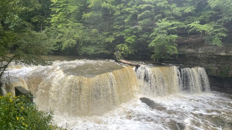
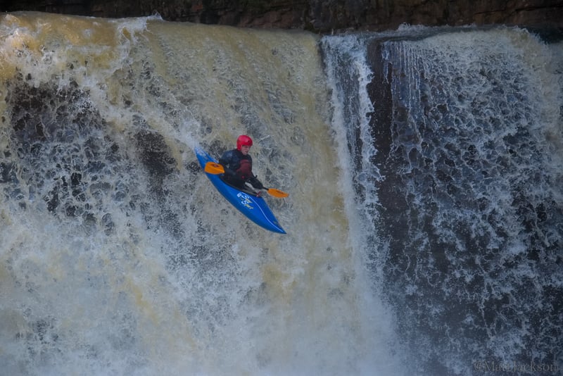
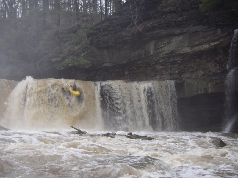
Exit the river on River Right and proceed to the overlook for a great view for scouting. The 20 foot falls are a mandatory scout, and a portage for most. It is renown for collecting wood (even if it was clear an hour prior) and must be scouted before every run. The two most common lines are on the left and right sides, while the middle can be ran at high flows. Being offline means a paddler could land on rocks (or wood) - many boats have been cracked here.
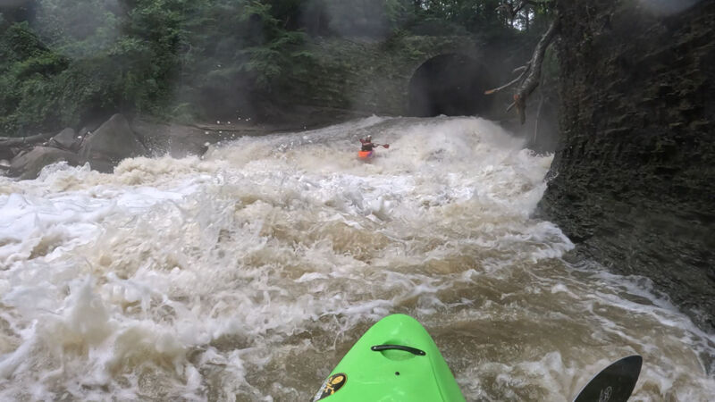
You have now entered the 'Meat' of the run, which ends after S-Turn. The Tunnel is fast, choppy, and you want to be pointing straight! Stay upright through the reflection waves in there, as it's pretty shallow. It gets a bit dark, and it slopes downhill, so you'll be accelerating all the way. When you emerge the tunnel, you face a steep water slide, shoving you inexorably into a huge wall of water/hole at the bottom. Don't be so far left that you fall off the side of the slide, and too far right will put you right into the face of a large boulder. This is one of the funnest rapids, but hold on tight! The hole can get retentive at higher flows (over 1000), and this can be portaged. Most of the flow usually pushes into a large wood pile at the bottom, this is not a place for swimming.
This viaduct was built ca. 1890 to support a railroad bridge. The Tunnel is 512 feet long, 20 feet high and 40 feet wide; it takes a bend to the left about 1/3rd of the way through, so there's no straight path for light at the entrance.
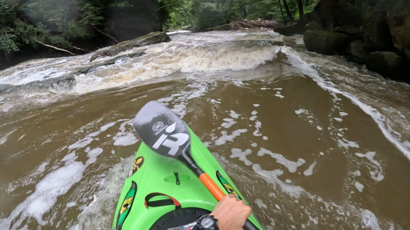
*Wood Alert* After exiting the tunnel, the rest of the run should have all paddler's attention focused on looking for wood and making sure lines are clear before proceeding to the next feature or rapid.
Tight Slotz was signficantly downgraded in difficulty after a 2020 flood event drastically changed the features. The rapid has a few options now, allowing for a fun mix of variation between left, right, and middle. One Tight Slot move is a squeeze from right to middle, between the boulders at low to medium flows. Catch eddies before dropping into Diagonal Ledge next.
Note: Originally, Tight Slotz included all features from the bottom of The Tunnel down to Rockpile. Due to the significant changes in the creek after 2020, features are now specifically noted.
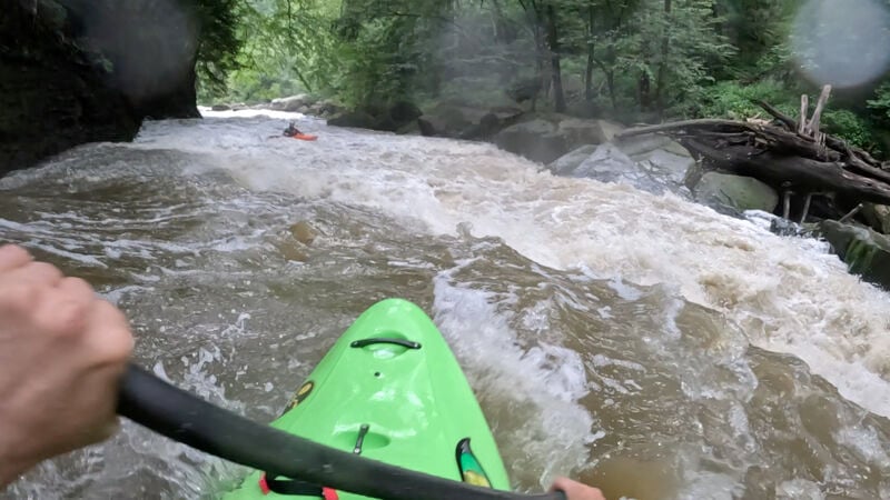
Scouting this from eddies at the bottom of Tight Slotz, choose your line down the left, middle, or deep into the right pocket. This is a powerful hole, capable of mystery moves & surfing the unprepared paddler depenging on the level. Eddies can be grabbed on the left or right side before entering Regional (Rockpile).
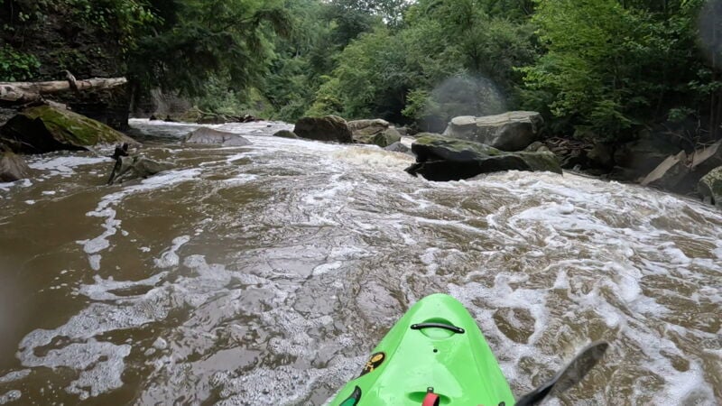
*Wood Alert* This rapid renown for holding wood (commonly on the right side), always approach with caution.
After catching an eddy below Diagonal Ledge, set up to run Regional (Rockpile). It is fairly easy to boat scout and eddy hop the top of this section. The first 25 yards allow for zig zagging slots between boulders before a paddler must commit to one side or the other.
The river left line will lead you into the Slalom Course (Left), and the river right line is a manky run straight down to Shovel Rock Smile Slide.
Note: This rapid was also downgraded quite a bit after the 2020 flood event - opening up the former left side Regional Boof and Right Side of Rockpile.
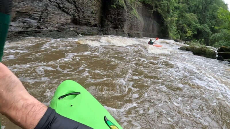
The Slalom Course (Regional Left Side) is a continuation of Regional, but gets it's own name for the quality of play here. The eddies are snappy and tons of fun, leading you into multiple surf waves of high quality at different levels. Note: Towards the end, there are potential pin rocks to be mindful of while surfing!
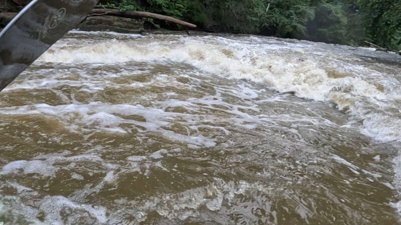
The left and right side of Regional (Rockpile) both lead directly into Shovel Rock Smile Slide. This is a single feature hole that is one of the friendliest play spots on the river. Front surf, spin, backsurf, and enjoy until your heart is content! This has great eddy service and a nice clean washout if you get flipped.
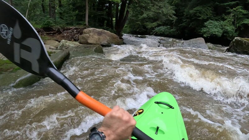
*Wood Alert* This is another rapid renown for holding wood, always approach with caution.
S-Turn was significantly changed during the 2020 flood event and opened up an entirely new line, straight down the left side. While the S-Turn name still sticks, the meaning has changed to Straight Turn!
The 'S'-Turn line still exists, going from river left, to river right, and down the right side along the shale wall.
The new left line, 'Straight Turn', is a narrow chute pinched between rocks and boulders, consisting of short drops and diagonal waves. The bottom of Straight Turn reconnects with the right side flow towards the bottom.
At the end of S-Turn, there is really fun seam for squirts.
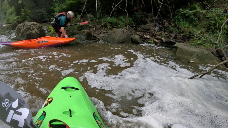
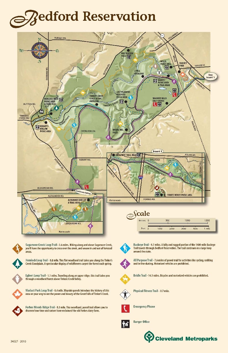
This is an optional put in/takeout, parking available at Willis Picnic Area (The Ball Field).
Immediately after S-Turn, there is a steep creek on River Right that connects with an unmarked trail leading back East towards the Ball Field. This can be used as a takeout when running only the 'meat' (all the named rapids from The Tunnel to the end of S-Turn).
A paddler can use this as a put in to skip the more difficult 'meat' section. If using this as a put in to run the Lower Section of Tinkers (after the Meat, after S-Turn), Park at the Willis Picnic Area (Ball Field) and hike into the woods to the West. There will be an unmarked trail that leads towards the creek with switch backs.
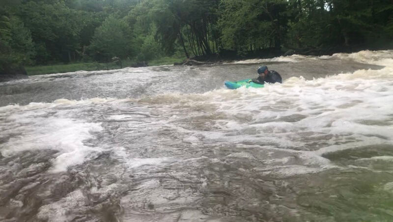
Shawn's Hole is an almost river wide shale slide that drops into an almost river wide hole. The muchiest part of the hole (center) can be avoided by either running down the typical left side, or far right side. This hole can be a lot of fun at some levels, and very muchy and sticky at higher levels. It's a great play spot, with good eddy access and a very large washout if you get flipped.
Note: Formerly known as Shale Hole, the Shawn's Hole namesake comes from Shawn Yingling and the countless hours of spinning he's done in this shallow feature. It's possible he's there spinning still, as you read this.
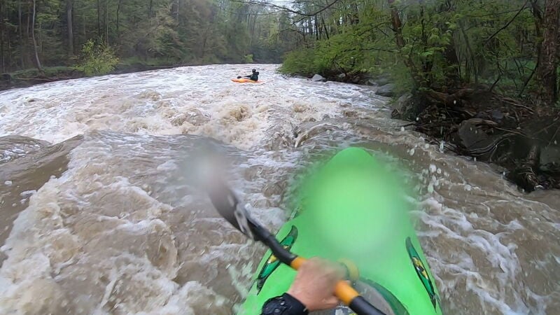
*Caution* This ledge is a pourover with a recirculating boil, similar to a Low Head dam. At high flows there is a very large recirculation boil.
This small ledge is ran down the far right side. At much higher flows, 1000+, you can run down the left side also. Don't be lazy and get caught up in the boil.
*Picture is 1500 cfs*
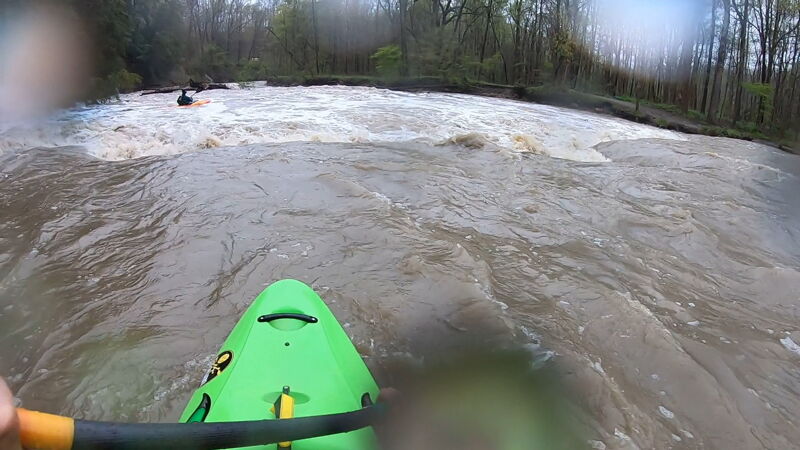
*Caution* This ledge is a pourover with a recirculating boil, similar to a Low Head dam. At high flows there is a very large recirculation boil.
Run this ledge 20-30 feet off the right bank. Don't be lazy and get caught up in the boil. At much higher flows, 1000+, you can run down the left side which is the safer option.
Note: Just downtream from this ledge is usually a large green wave that can be surfed at some levels. It's possible to catch eddies above it to set up and drop in. Be ready for it!
*Picture is 1500 cfs*
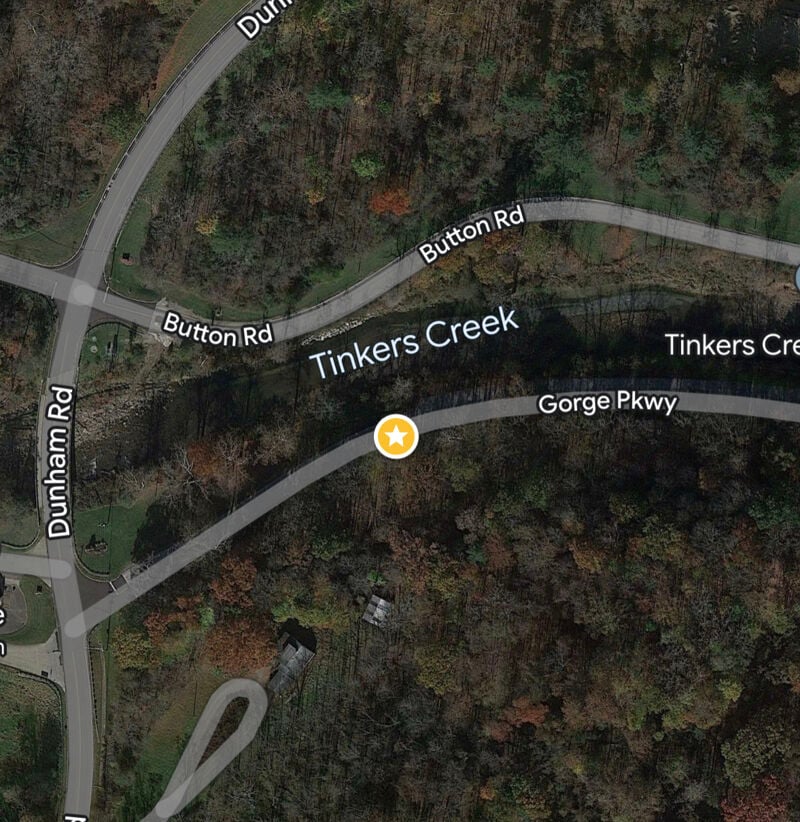
This traditional takeout is on river left next to the roadside parking on Gorge Pkwy.
There is an additional takeout option, slightly upstream on river right: Hemlock Creek Picnic Area on Button Rd. This would be an option if the park closes Gorge Pkwy (which does happen occasionally).
Oct 21, 2016
~725cfs