Tinker's Creek
Tinker's Gorge in Bedford Reservation
Sep 2, 2023
Adding Photos for updating Reach.
Jan 21, 2018
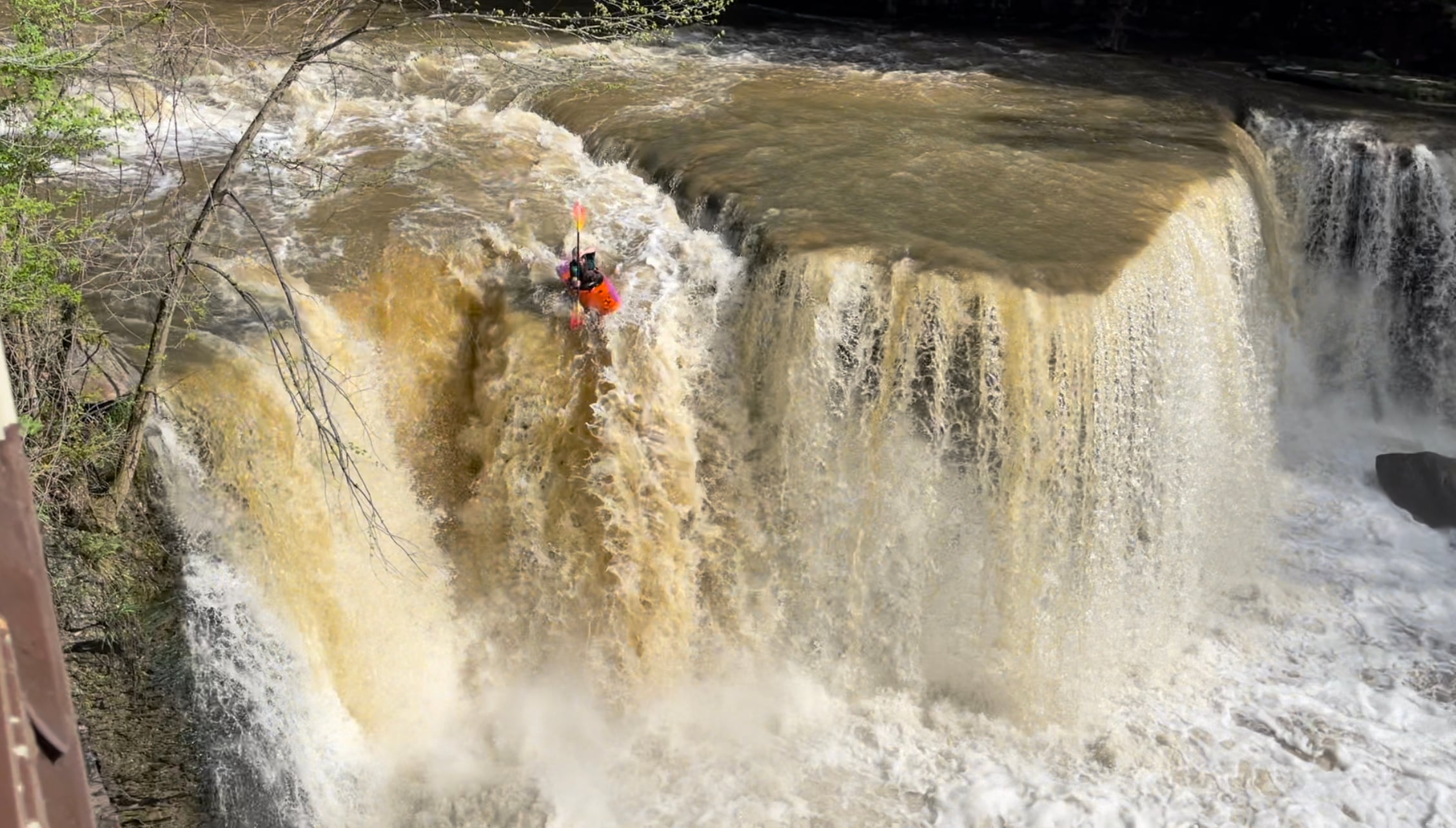
Ross on the falls ~750cfs(ish)
Oct 21, 2016
~725cfs
Apr 12, 2016
John Banach approaching the hole at the bottom of the tunnel
Dec 8, 2014
around ~500-525cfs
Oct 16, 2014
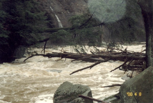
Upstream entrance to the tunnel around minimum flows
May 31, 2013
Some friends an I have run this creek back in the 60's, and there were others before us who stunted along Tinkers creeks banks. Once was in a 16' aluminum canoe.
Best water is when winter blesses the area with heavy snowfall as it did when growing up in the area, then when thaw occurs Tinkers famously will spill it's banks and truely show what this creek is made of. The tunnel becomes impassible on feet as the water line seen in the past was 15' or higher up the wall.
This place flows tons of water from snow melt that is shed from the sloping plains along Tinkers creek valley & gorge.
Dec 8, 2012
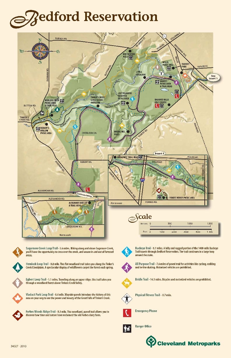
This map outlines all the trails in the Bedford Reservation. The bridle trail off Powers Road (top of map) is a wide easy grade to the river and below the meat after the Tunnel. This could be a good putin option for higher water runs when the play gets good and you don't want the stess of the upper gorge area.
Apr 21, 2011
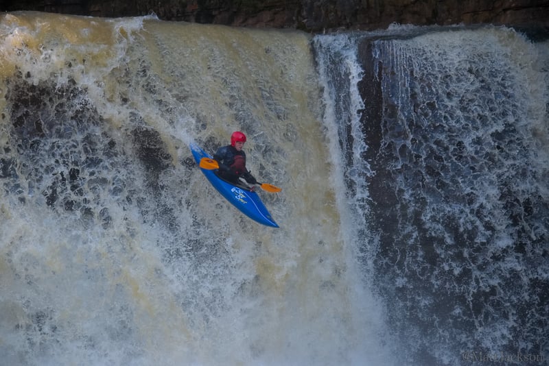
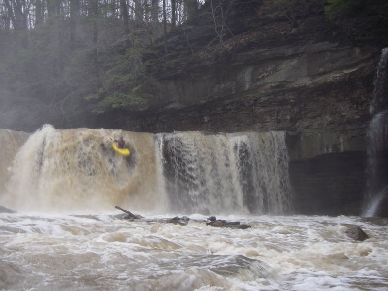
Karl Schmidt dropping the falls at 800cfs
Dec 18, 2001
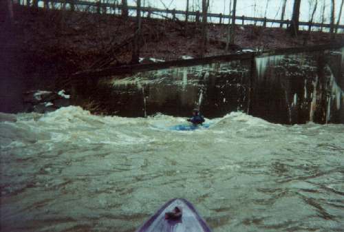
It's best to punch this suckah on the middle right, in IMHO. Alternatively, you can boof into the river-left eddy, butt that eddy tends to feed an undercut, and it has rocks flirting with the surface.
Downstream of this hole, only a few feet above the Tunnel entrance, is an ugly piece of rebar which can be seen at low water. Nobody's tangled with it...yet. Be warned, though.
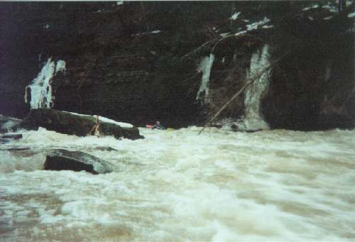
Not too long after the river-wide hole is a river-wide strainer. Fun fun FUN!
You can even take this river-wide hole sideways. Lean hard downstream, and enjoy the ride as it typewriters you into the river-left shale bank. You'll scratch the bow of yer plastic boat, butt you'll do more damage to the fragile shale-face.
Jan 23, 1999
Check out the description of this weekend by clicking here.
Jan 23, 1999
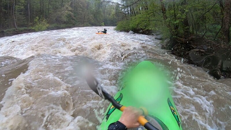
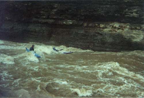
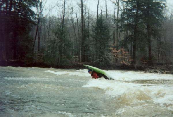
George surfs one of the waves in the first mile of warmup rapids above Tinker's Falls.
Read a description of this weekend, from the pages of the AW Journal, by clicking here.
Read about this great weekend on Ohio's greatest creek by clicking here.
Read about this great weekend on Ohio's greatest creek by clicking here.
For the story of this great weekend on Ohio's greatest creek, click here.
For the story of this great weekend on Ohio's greatest creek, click here.
Jan 22, 1999
See a description of this weekend by clicking here.
Jan 21, 1999
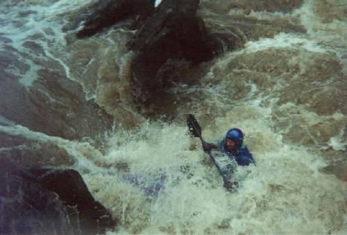
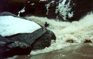
The hole at the base of the Tunnel looks horrible, but it's not a keeper...even at horrifically high water. You get accelerated toward it at warp speed, so you flush through...upright or not. Better roll up quickly, because the stuff below really wants an upright boater.
Mar 21, 1998
Read about an exciting weekend at Tinker's by clicking here.
Jan 1, 1900
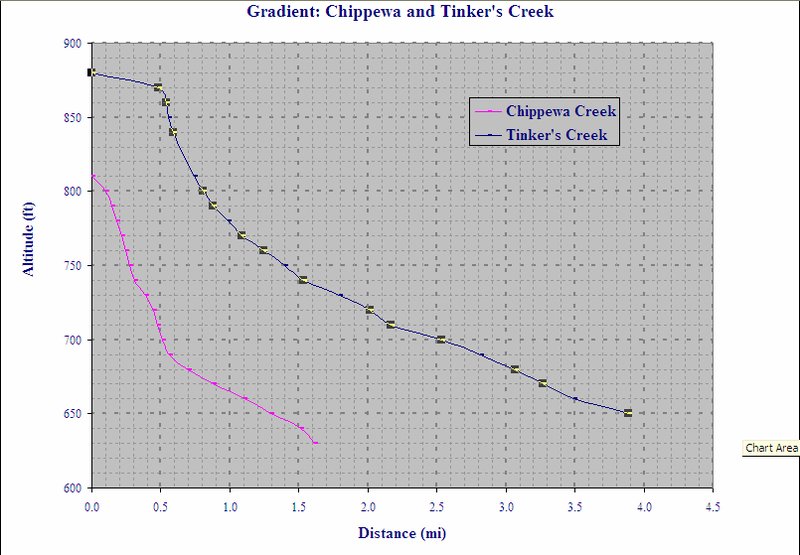
Here's the comparison of Chippewa Creek, in Brecksville Reservation, and Tink's. Chippewa doesn't run very often at all. The first half-mile drops 110 feet, and it has the expected woody pileups and rock sieves. Tinker's, which drops 90 feet in half a mile, is no slouch...and it runs much more often and has great play when it's on.
Jan 1, 1900
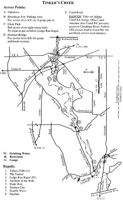
The Possum King, a professional surveyor and obsessive paddler, drew this map, for the Keel-haulers Canoe Club, in the 1980's or so. It's still a really good resource to Tinker's. He graciously gave permission for this map to be published on the AW site.
That hole at the bottom of the Tunnel is intimidating as all getout, butt it is not a keeper. Try to stay upright, butt other than that: don't worry, be happy!
Jan 1, 1900
You oughta see this play area when the river's crankin' along at 1.8 feet! Large, surfable waves, with river debris bouncing under yer boat at warp speed. Fun fun FUN!
This nasty two-tree strainer appeared in Spring, 1997. For several months, it was a portage. Then one of the trees began to break, and it was a sketchy line for the brave and foolish. It's become progressively easier with each heavy rain; now it's quite runnable, with due care, to the left. Anyone who flips and/or swims above should high-tail it for the big eddy, river right, just above this, um, 'feature.'
This slot, on river right just one eddy downstream of the Tunnel, is normally run, but sometimes...sometimes it's better to ferry away from it, waaay over to river left. The ferry's not easy at some levels.