Mill Creek

1. Upper Bridge to Mill Creek County Park

Reach banner
DifficultyIII-IV
Length6.4 mi
Avg Gradientn/a
GaugeSouth Yamhill River Near Willamina
Flow Rate as of 1 hour
104 cfsbelow recommended
Reach Info Last UpdatedMarch 17, 2026

River Description

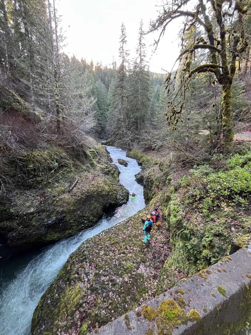
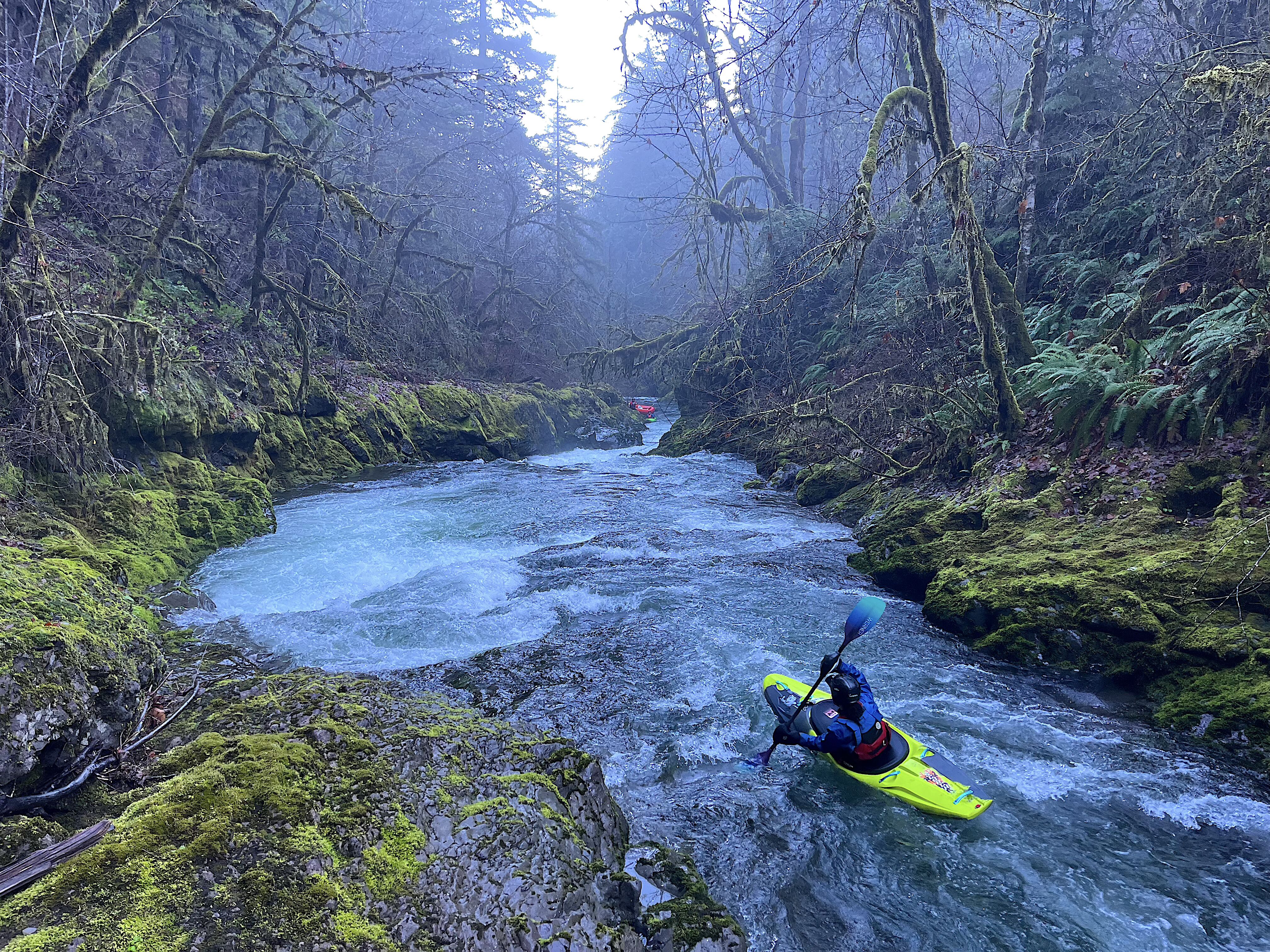
A neat intermediate run that was closed for many years to the public, but is now open whenever fire danger is low.

The upper parts of the run have some neat class IV bedrock rapids in mini-canyons.  The middle part eases off in difficulty with some fun class IIIs here and there.  Soggy Sneakers calls it 'intimate', that is a good word for it.  Make sure to scout the take out from Mill Creek Park, downstream is a nasty crack drop that does not get run as far as AW is aware of.

Call Weyerhaeuser at this number for a recording letting you know what the current access situation is  888-741-5403

Detailed information here.


River Features

Put In

Distance: 0 mi

Take Out

Distance: 5.6 mi
Take Out

A large group did the run at 1.5' on the bridge gauge Dec 12, 2025. This was a low, enjoyable flow and enough water to get a raft down R2 style. There was one log jam in the cobble bar section below the last class IV and before the class III picks up again. The right bank has slid into the river here and created a bit of a mess, we portaged left.

Everything else was clean and good fun, remember to scout the first rapid below the put in bridge before putting on.

PG
Pete Giordano

Dec 18, 2020


Bridge gauge was 2' yesterday, 12/17/20. Good forgiving flow. Still wood in Triple Drop which is easily portaged and scouted along the road. The biggest drop in the Canyon section was clean although should be scouted for wood before committing. Great run for Class 3 boaters wanting to take a forgiving step up on a smaller creek.