Laurel Hill Creek
2. Whipkey Dam to Humbert Covered Bridge Nr. Ursina
The reading was not accurate today and the gauge needs to be checked. Who do we call? Today, July 23, the reading said close to 1200 cfs and there was not enough water to even run it....it was very low. I frequently run this Creek and ran it last Sunday so I know the gauge is seriously off today. On the bridge, the reading was just below 1.5 today which is NOT 1200 cfs.
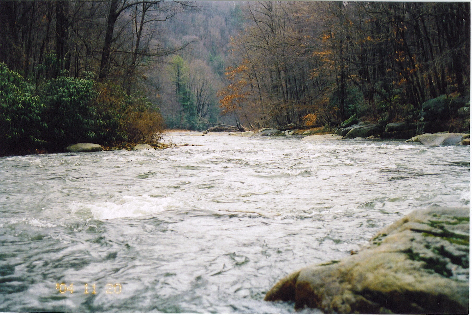
Ran Whipkey to covered bridge yesterday at 2,300 cfs. Fast flush. Big waves and holes - consider it class 3-4 at this high flow. If you are in the boat, OK, but a swim would be bad with rescue difficult and near certain loss of boat. High risk when the water gets up like this.
There is a nearly riverwide log pinned broadside to the current about halfway down the reach from Whipkey Dam to the iron footbridge fishing access. It's pinned at water level against the tall monolithic boulder I call Tombstone, which is immediately downstream from the heaviest rapid of the reach, which locals call The Falls, or Double Drop, and which is found just a minute or two downstream from the mouth of a large beautiful clear creek (on river right) which I believe is Sandy Run (although another commenter referred to it as Cranberry Run). The log does not quite extend all the way to the left bank but leaves a very narrow sneak of 5 feet or so (at 600 cfs) over shallow rocks. However, Tombstone & the log are just below such a sharp left bend that you can't see 'em till you're well into the rapid. Quite a surprise yesterday with my raft & oar frame.
There is alot of river wide wood (5-6 strainers) from Trent to Barronvale covered bridge.
No articles