Laurel Hill Creek
2. Whipkey Dam to Humbert Covered Bridge Nr. Ursina
March 26, 2012
| Reporter | Bruce Fleckenstein |
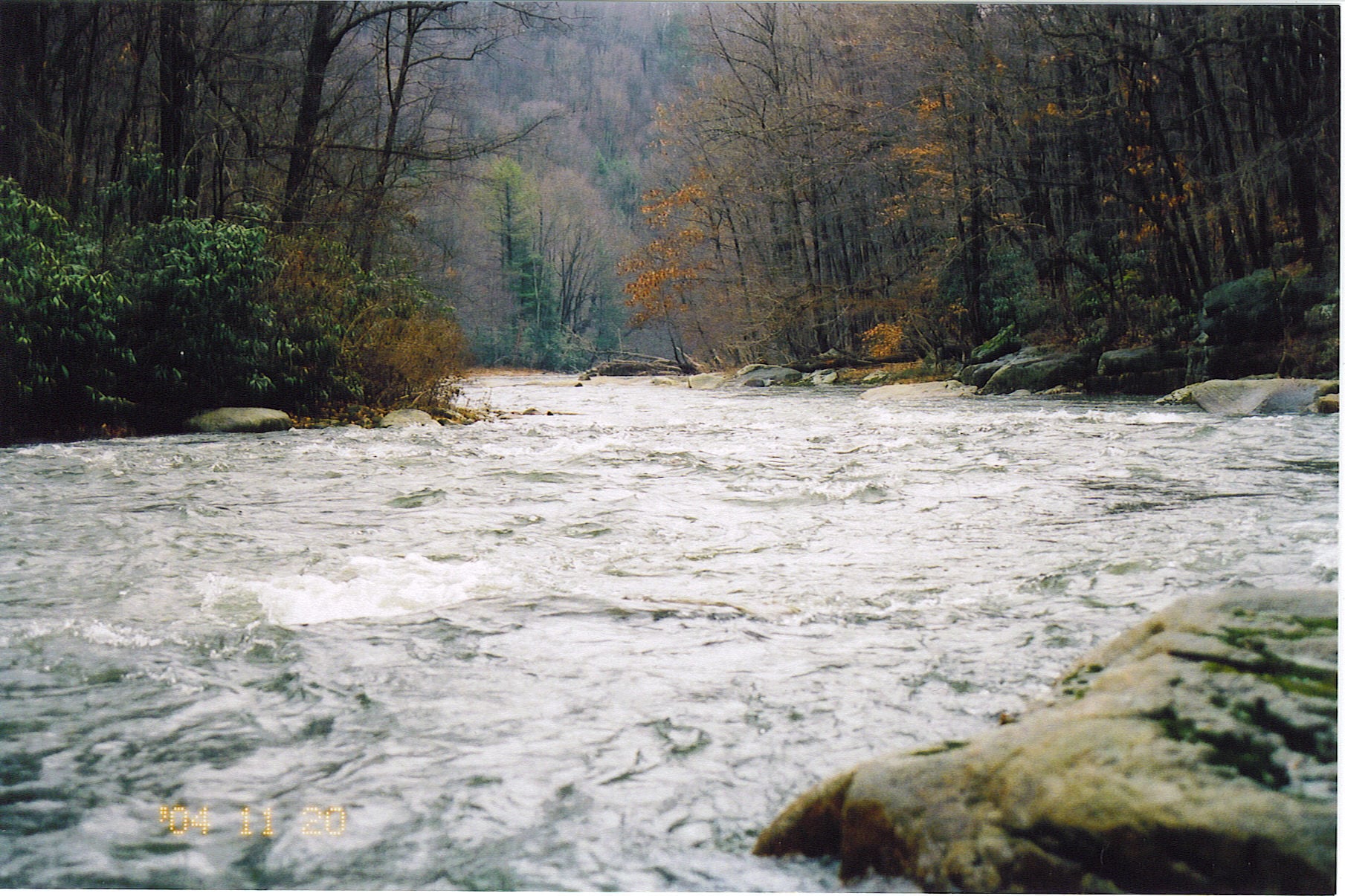
Ran from Triple Creek Rd near Trent to State Gamelands Near Ursina on 3/24/12. Level was 3.4 1910 cfs. This fills the top section in nice. There is changing wood on this run. All was passable but stay alert. There are some choices around islands also. Most of the run is swift water without features. This limits the amount of bank eddies. There are some rapids with medium waves and a hole here and there. Two spots are of concern: the first is a horizon line of about 5 ft. You may want to scout here. I took the flume right of center, carved right, hit shallow rock and swam. Another in the group took a beating here. There is an easy portage on river right. Get out early to avoid getting swept into this. The rapid just below is split by a mid stream boulder. There was wood on the left but looked passable. we took the right. When rounding the boulder, there was a intense seam of current. This can be avoided by getting back to the middle. There is some squirelly water below also. Things slowed down around Scottyland and progressively got slower to Whipkey Dam. We portaged on the left. The lower run was easy for a couple of miles and increased in difficulty. Waves got big and there was an ocassional monster hole. Lines are pretty obvious. Some of the heavier rapids are left turns. staying on the inside will avoid getting into the big stuff. After passing Cranberry Run, work left hard to avoid a good sized hole. There is a heavy set below this point also. Eventually, things start to settle when leaving the gorge. Choose braids wisely. Most choices seem to be to the right. Wood is changing here also. We hand to squeeze around a tree in one spot.