Shade Creek
Confluence of Dark and Clear Shade to Stony Creek
| Difficulty | III-IV |
| Length | 9.6 mi |
| Avg Gradient | n/a |
| Gauge | Stonycreek River at Ferndale, Pa |
| Flow Rate as of 34 minutes | 2.72 ftbelow recommended |
| Reach Info Last Updated | April 7, 2025 |
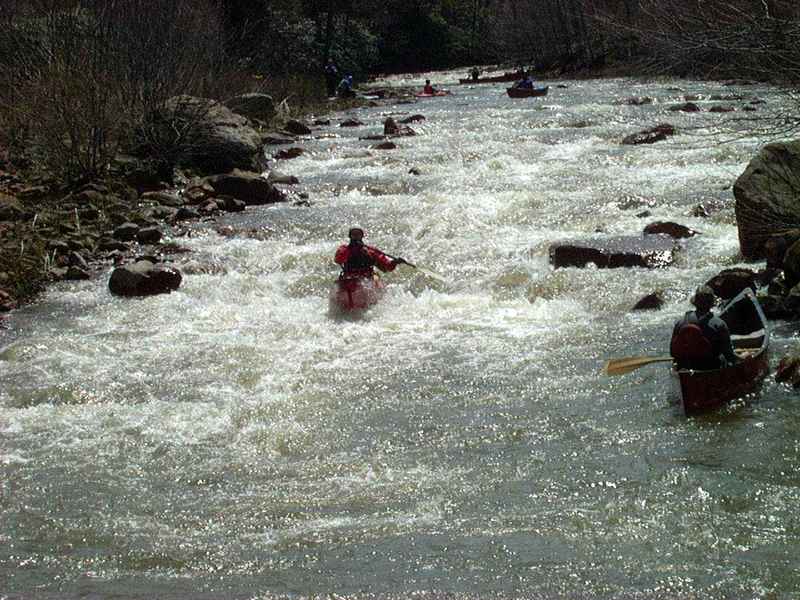
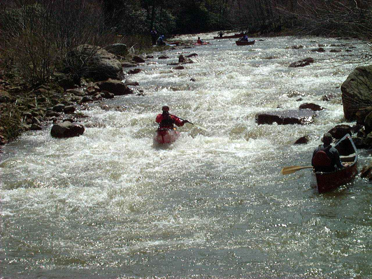
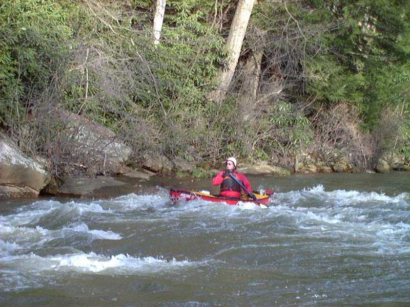
The majority of Shade creek is a fairly scenic and nice class III adventure at low to medium levels. There are a couple rapids that may approach the realm of easy class IV. However, when Shade is booming at high levels, it definitely picks up a notch in difficulty to class IV. Shade Creek is typically fun for everyone. There are three sections to run, the upper, middle, and lower. Each section is obviously separated by a bridge. Shade Creek can be a paddled in combination with Clear or Dark Shade above and the Stony below, for a day of paddling fun.
Upper section: The upper section starts at the confluence of Dark and Clear Shade and ends at the bridge in Hillsboro. This section is 4.2 miles long and offers some very nice class 3 rapids. This is a very fun section, offering some nice surfing waves and some longer, continuous rapids. On this section, you want to pay particular attention to strainers. Trees are often a problem since it is so small. About a mile into the run, the river channel separates into two channels. This section you definitely want to watch out. Folks typically take the right channel. The creek separates in a couple other spots where strainers may be a hazard.
Middle section: The middle section starts at the Hillsboro bridge and ends at the next bridge on Camp Drive. This section is 2.2 miles long. This is the easiest section of Shade Creek, but is worth running to avoid a shuttle cluster when running the entire length of Shade. Although the larger rapids are not present, it is still fairly scenic through an isolated gorge.
Lower section: The lower section of Shade is probably the most paddled and offers the best whitewater. This section is 3.2 miles long, beginning on Camp Drive Bridge and ending on the Rt. 601 bridge in Seanor. This section of Shade can also be run into the Stony, as it enters the Stony 1/4 mile past the Seanor bridge. The first rapid is about 1/4 into the
...Put-in - The upper section starts at the confluence of Dark and Clear Shade
Rapid above Camp Drive Bridge
Take-out - Confluence with Stoneycreek River. When you get to the confluence with the Stoneycreek River, ferry across the Stoneycreek and take out river left on the Stoneycreek as soon as you finish the ferry. There is parking along a dirt road that parallels the railroad at the confluence.
Nov 2, 2012
Ran the Shade today Nov 2, 2012 @ a little better than 6 ft. You could run it lower but not much without scraping bottom a lot. The right channel around the last island on the lower section has a stream wide strainer. If you paddle hard to river left you can just get behind the root ball and catch an eddy at 6 ft. Some in our group paddled over the tree to the right of the root ball, but I would bet on this as the river drops. Go left or be careful.
Apr 16, 2011
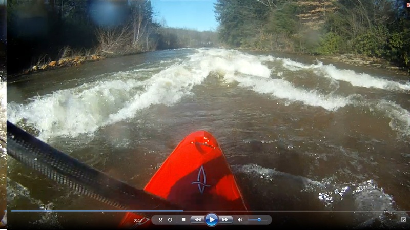
This is a video of the lower Section.
http://vimeo.com/22378748
May 11, 2008
We ran the Shade today (all 3 sections). After a couple of days of good rain the Stony Creek was running at 5.5 ft but the Shade was still a bit bony. A nice run - mostly easy class III boogie water with some nice surfing waves and holes. As noted in the description you need to watch for trees/strainers. There was 1 point where the river was split by an island and the right hand side was completely obstructed by a log laying across the channel. Easy boat scout at this level and so we went left. I would like to run this section again but with more water.