Hiwassee
2. Apalachia Powerhouse to Reliance
| Difficulty | II |
| Length | 5.6 mi |
| Avg Gradient | n/a |
| Gauge | Hiwassee River at Charleston, Tn |
| Flow Rate as of 2973 days | 17.88 ftstale data |
| Reach Info Last Updated | July 10, 2024 |
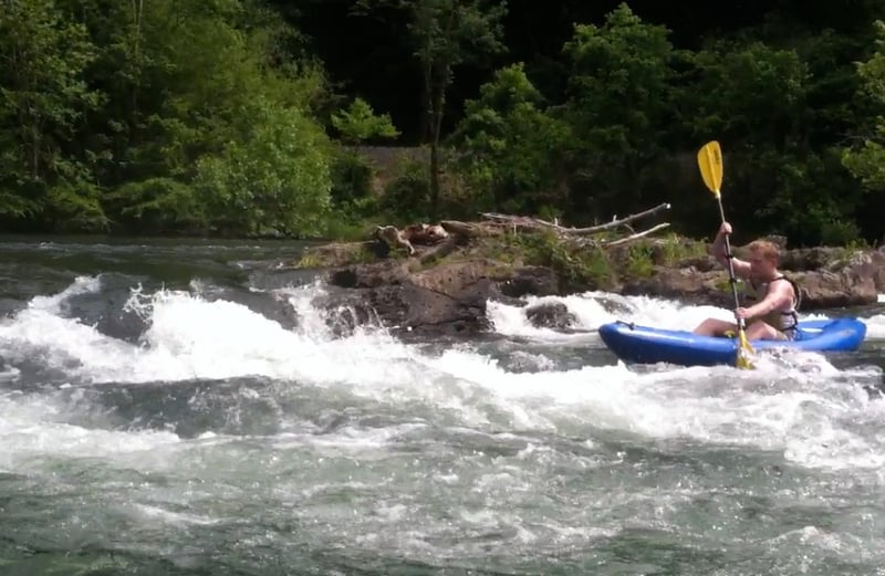
The Hiwassee River is designated as a Tennessee State Scenic River. The river is beautiful, clear and wide. As noted by William Nealey in his Whitewater Home Companion. Southeastern Rivers. Vol. 1, 'this is an excellent river for family outtings, canoeing, tubing, rafting and beginning whitewater instruction.'
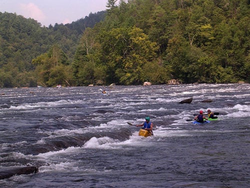
This five mile plus section offers several playful Class II rapids, and with its width, the opportunity for many lines. For the most part, the best water is near river left and on the left channels around the islands.
In addition to the internet link for the TVA above, one may obtain the predicted release for the following day by calling the TVA flow number: 800-238-2264 (toll-free) then pressing 4, then 22, and then the # sign. If you call on a Friday (after 6pm) then you can obtain the release predictions for Saturday and Sunday.
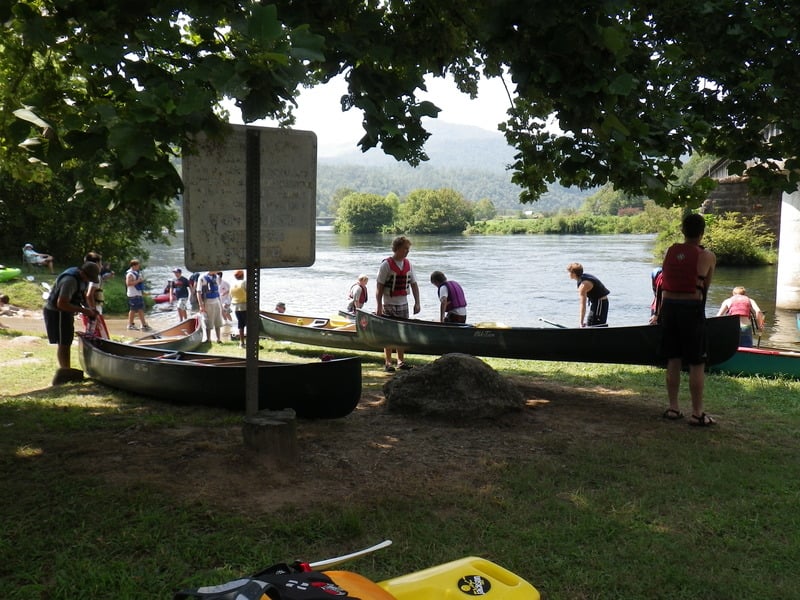
The powerhouse put-in (river right) has a concrete ramp, ample parking, and toilet. Forest Service day use fee required.
Soon after the mouth of Towee Creek (on river right) the river descends over a short series of ledges, before being diveded by Cane Island. Work to the left, taking the left channel. This chute is in turn divided by a rock jumble. Go to the left or to the right.
As the river works around Big Bend, it approaches a 3 foot drop, most prominent on river left--Mary Nell Point. On river right, before the drop is the Big Bend Parking area.
A series of ledge drops that last well over a quarter mile -- one of the common lines is to start river right and work over to river left.
As you approach the island, take the river left channel -- this line involves a short series of Class 2+ ledge drops
As the river bends to right, there are another series of shallow ledge drops. Soon the river is divided by Big Island. The most common line is to take the river right channel. The channel drops over a 2-3 foot ledge with three chutes. An excellent place to catch eddies and to suff.
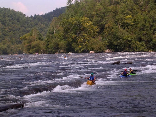
Continue down the left channel around Big Island. The channel widens and then begins to both drop over another series of ledges, as the channel constricts. The fast current and turbulent water form Devil's Shoals. As you work down the ledges, there are eddies that can be caught on the right. As you work down the rapid, a ledge appears on river left, work down the center of the channel for this last section.
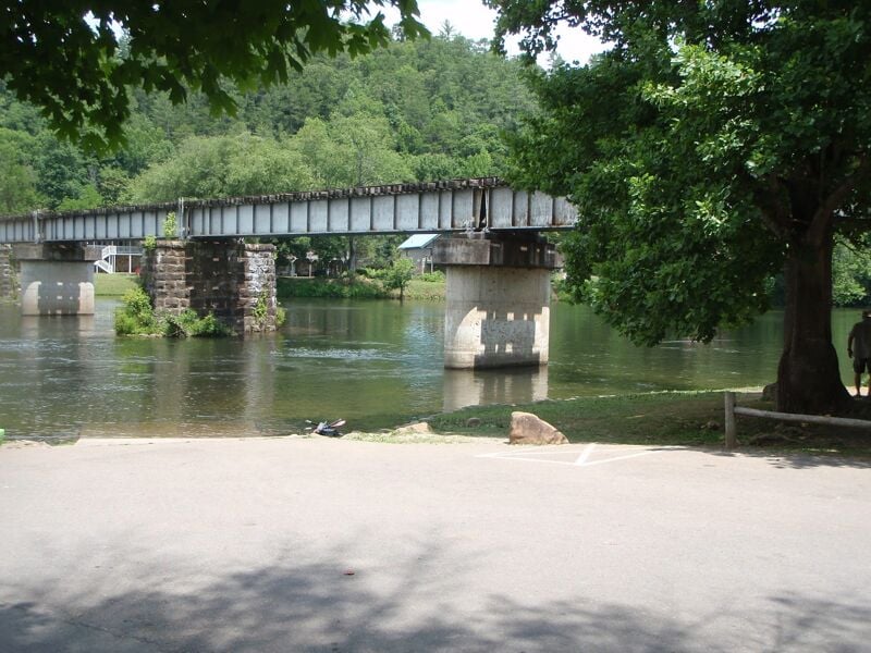
Take out on river left just downstream of the railroad bridge at the state park access area. Concrete ramp, ample parking, toilet. In the summer, a ride to the top is available at adjacent Hiwassee Outfitters for $5 - buses leave on the hour.
Jul 10, 2024
Apr 19, 2023
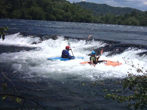
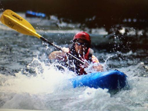
For plenty of folks, Devil Shoals is a body surfing spot. However, understand that while it is a Class II or Class II+, a big amount of the river funnels through that narrow place, and so there is plenty of push. So keep you feet well up...and be prepared for a face-full or nose-full of water.
While not dangerous under normal flow rates, caution is always necessary around this kind of water. Almost as soon as you hit the 'rooster tail,' you are free to start swimming left, looking for a place to get out of the flow. However, if you want, there is nothing particular below there and the take-out that is more that Class I+, I suppose. (Do be careful, though, when going under the railroad trestle, to not wind up pin-balling off one of the pilings or, if in a raft, winding up wrapped (although the water is not fast, it is enough, under the right circumstances, to make life miserable).
Also, note that the Hiwassee is a COLD RIVER. No, not cold like western rivers, but typically in the high 50s, I suppose. The only colder river I've done in that part of that general latitude is the Nantahala in North Carolina--and that's likely because the 'canyon' is so narrow that the sun doesn't hit the river except for a short while each day.
Jan 17, 2014
Notes:
Do not confuse the Applachia Dam with the Applachia Powerhouse. The Powerhouse is 8.8 miles downstream from the dam. It gets its water from the dam via a tunnel. (Hiwassee dam is completely different from either of these.)
The dam may release water into the river at very high lake levels, but it does not generate power, and has no scheduled releases.
The Powerhouse is about 1/2 mile above the put in, and is where all the water for paddling from the Powerhouse put-in to Reliance comes from. (Unless the dam is spilling water.)
The USGS river gauge on the Hiwassee is at Charleston, below the confluence of the Hiwassee and the Ocoee Rivers, so it cannot be used as a reliable indicator of water levels for either river, especially since both are dam controlled.
The link to TVA Applachia Powerhouse is: http://www.tva.gov/lakes/aph\_r.htm
TVA has a smartphone app that makes it very easy to check all its dam releases.