Hiwassee
2. Apalachia Powerhouse to Reliance
Jul 10, 2024
Apr 19, 2023
For plenty of folks, Devil Shoals is a body surfing spot. However, understand that while it is a Class II or Class II+, a big amount of the river funnels through that narrow place, and so there is plenty of push. So keep you feet well up...and be prepared for a face-full or nose-full of water.
While not dangerous under normal flow rates, caution is always necessary around this kind of water. Almost as soon as you hit the 'rooster tail,' you are free to start swimming left, looking for a place to get out of the flow. However, if you want, there is nothing particular below there and the take-out that is more that Class I+, I suppose. (Do be careful, though, when going under the railroad trestle, to not wind up pin-balling off one of the pilings or, if in a raft, winding up wrapped (although the water is not fast, it is enough, under the right circumstances, to make life miserable).
Also, note that the Hiwassee is a COLD RIVER. No, not cold like western rivers, but typically in the high 50s, I suppose. The only colder river I've done in that part of that general latitude is the Nantahala in North Carolina--and that's likely because the 'canyon' is so narrow that the sun doesn't hit the river except for a short while each day.
May 18, 2021
FYI - Wood hazard - Have a friend that had a scary experience on Devil Shoals. Apparently there is a tree/log half across the river on the left side, at the end of the rapid. The incident led to 2 pin scenarios, both new boaters, so be aware of this hazard for new boaters..
Jan 17, 2014
Notes:
Do not confuse the Applachia Dam with the Applachia Powerhouse. The Powerhouse is 8.8 miles downstream from the dam. It gets its water from the dam via a tunnel. (Hiwassee dam is completely different from either of these.)
The dam may release water into the river at very high lake levels, but it does not generate power, and has no scheduled releases.
The Powerhouse is about 1/2 mile above the put in, and is where all the water for paddling from the Powerhouse put-in to Reliance comes from. (Unless the dam is spilling water.)
The USGS river gauge on the Hiwassee is at Charleston, below the confluence of the Hiwassee and the Ocoee Rivers, so it cannot be used as a reliable indicator of water levels for either river, especially since both are dam controlled.
The link to TVA Applachia Powerhouse is: http://www.tva.gov/lakes/aph\_r.htm
TVA has a smartphone app that makes it very easy to check all its dam releases.
Jun 1, 2013
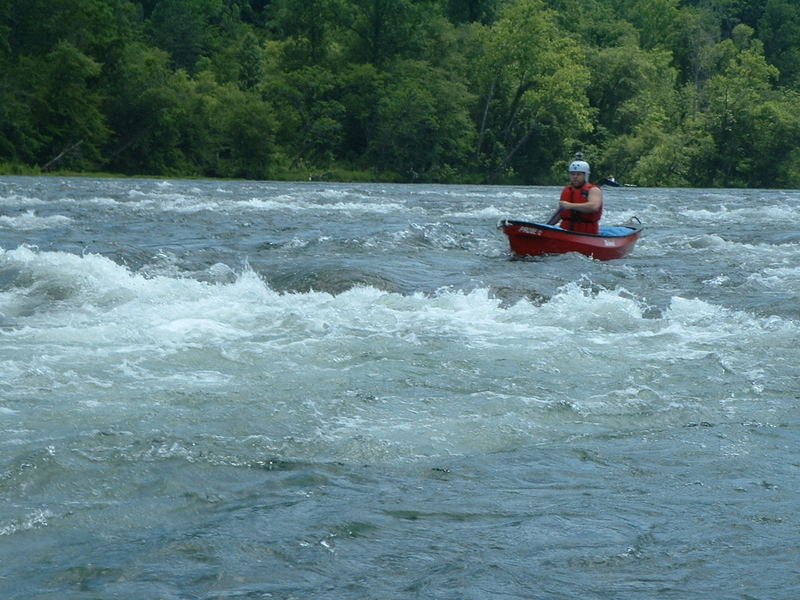
Funnel Rapid I think?
Jun 1, 2013
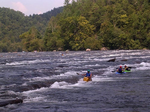
Just past Stairstep Rapids
Nov 9, 2011
No complaints on this end, smlipy a good piece.
Nov 9, 2011
Thanks guys, I just about lost it looknig for this.
Aug 21, 2011
Busy day at the take out.
Aug 20, 2011
Will be there tomorrow! Gets easier every time.
Aug 19, 2011
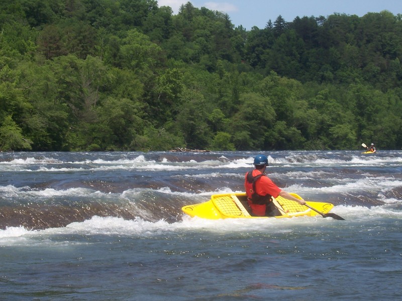
Showing his peeps the right line to take on Oblique.
May 31, 2011
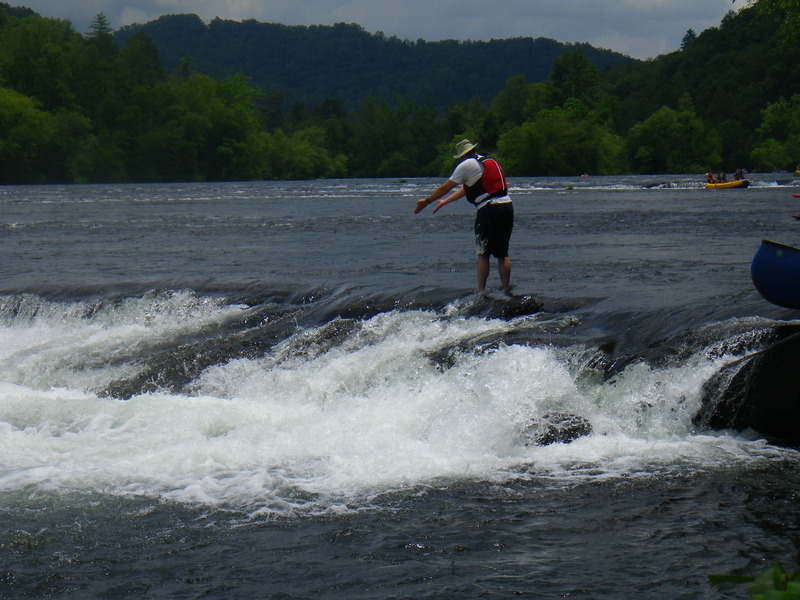
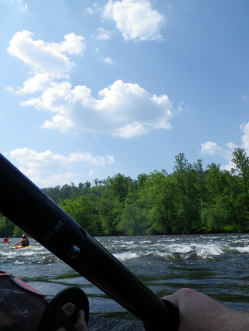
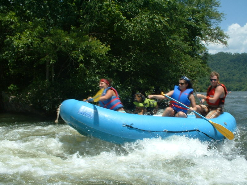
Hiwassee River, beginning of Devils Shoals
Sep 24, 2010
Here's a video tour of the Hiwassee I did with the Georgia Canoeing Association on Memorial Day Weekend 2010....check it out. It shows all the major rapids...
http://www.vimeo.com/15007826
Aug 15, 2010
trying sot dagger torrent on the Hiwassee
May 29, 2010
Matt Todhunter surfing the bottom of stairsteps.
Sep 9, 2009
On Saturday (09-05-09), we went down the Hiwassee. The log jam was gone.
Jun 25, 2009
grabbed the camera, hoping I wouldn't flip
Jun 25, 2009
Running the recommended drop in the Funnel ( or Commode :) get ready to be flushed...
Jun 23, 2009
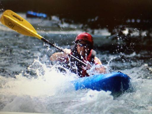
One of top 3 rapids (my opinion) on Hiwassee... this one is fun, challenging cross currents, nice drops, fast water, nice waves...hang on...
Jun 21, 2009
swift pool above Stairstep rapids
Jun 7, 2009
Hiwassee Outfitters is at the typical takeout for this section. They should know all the details you would want. http://www.hiwasseeoutfitters.com/
May 28, 2009
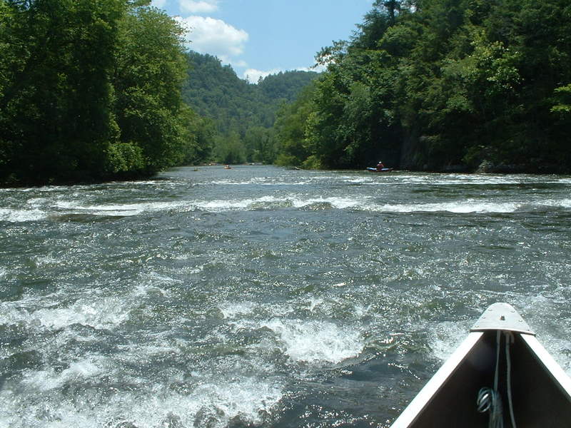
I have run the section from Reliance down to Gee Creek. We were camping there, so that is where we took out, I know there is a picnic area on river left before that, but it is only about another hour from Reliance to Gee Creek. There is one class II right where the TVA lines cross the Hiwassee. That is all I recall, I am sure the overall current was nice, but the whitewater section ends at Reliance as far as I know.
May 22, 2009
Not really a comment, but a question. If you run past the bridge at Reliance to add on some miles, what is the river like and what is the next take out point?
Sep 1, 2008
I ran the hiwassee this past labour day. I couldn't tell if the water was up or not because some rapids seemed bigger and others seemed smaller. Anywho is was a fun run and I defiantely recommend it, especially for beginners. This is the river TSRA uses for their annual kayak and canoe school.
Dec 8, 2007
Ran this river on Nov 10th with just 1 GENERATOR, it was completely worth it and quite fun. The flat sections are a little scrapy but there are some new playspots that show up at low water and devil shoals has a change to it. Make sure the 1 generator releases for at least 2 hours, 3 is better. We out ran the water and had to wait for it to catch up to us, so pay attention to the level and enjoy.
Jun 5, 2006
Shuttle Route.
From the Texaco station on TN 30. Turn right out of the station and take an immediate right onto the bridge over the river. Take the first right turn after the bridge (Childress Creek Road, sign for Roses' restaurant). Drive a few miles until you see a road off to your right - the two businesses with signs are 'Reliance Fly and Tackle' and the 'Ocoee Outdoors Hiwassee Outpost.' Take a right here on the road between these two businesses. Keep on driving - you will pass a few USFS parking areas, including the Towee Boating Site. You could put in here, but you'll miss half the ride. When you reach the Powerhouse Boating Site, you've found the putin.
I don't know what kind of shuttle deal Hiwassee Outfitters runs. Webb Brothers (operates out of the Texaco) charges $5 for a shuttle with kayak, $3 for just a person w/o a kayak. The shuttle ride is short enough to drop off your boats at the putin, drive back, and take the shuttle back up. Or just do that yourself.
Jun 1, 2006
A two unit release equals about 1200 cfs.
Jun 20, 2005
We went down in Mid June, the water was cold, but not unbareable. Hiwassee Outfitters really took care of us. The stretch we ran was a little over 6 miles. It had some nice, solid class II rapids and several great surfing spots. Expect to paddle some flat water between the rapids. The Hiwassee is pretty wide, we found the best rapids center or river left. We found a few holes, nothing that wouldn't spit you out and if you like to play in holes, you will have fun with them.
May 19, 2003
Added a new gauge. Its about 10 miles or more down from the takeout. We'll give it a try and see if we should keep it or not.
Jan 1, 1900
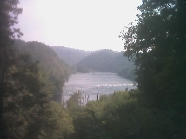
High above the Hiwassee.
Another from high above Hiwassee. I apologize for the quality, it is from my cell phone.