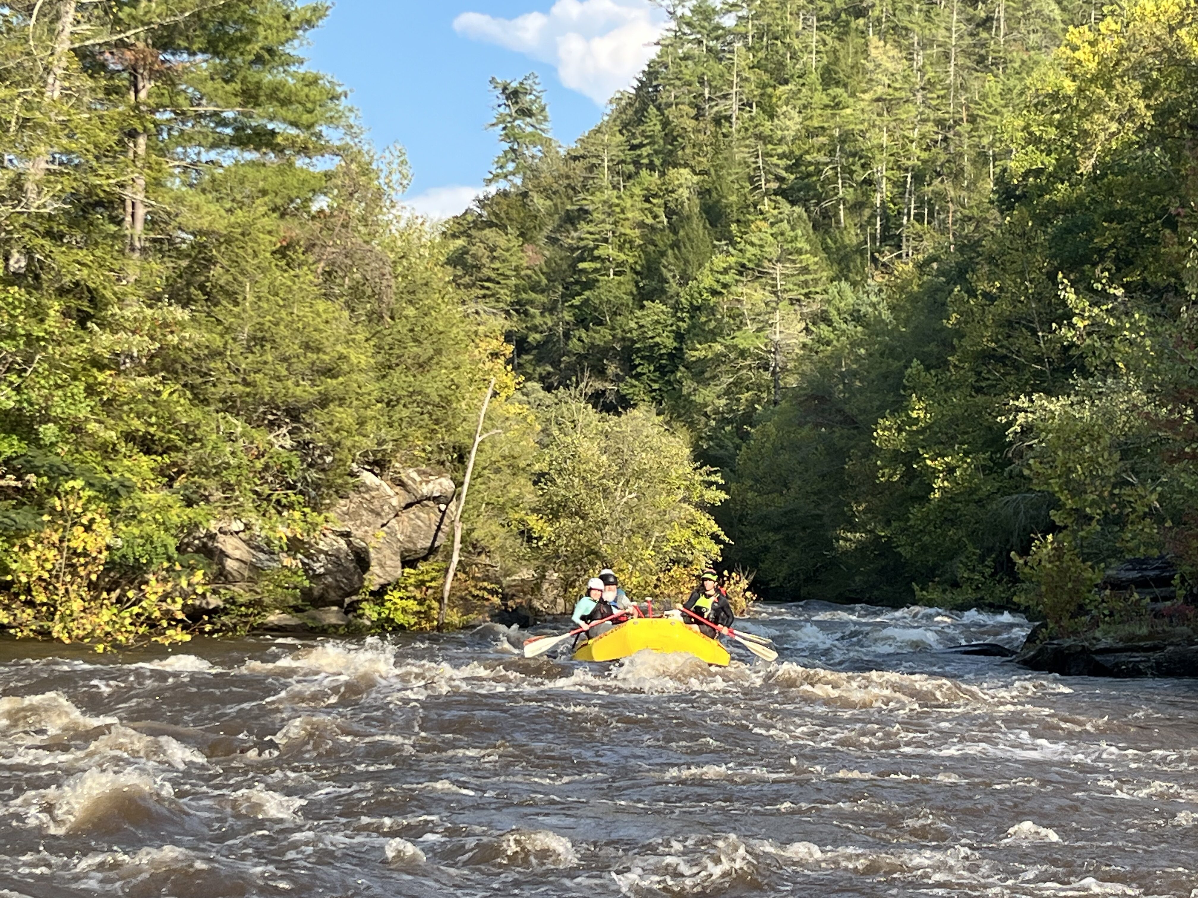
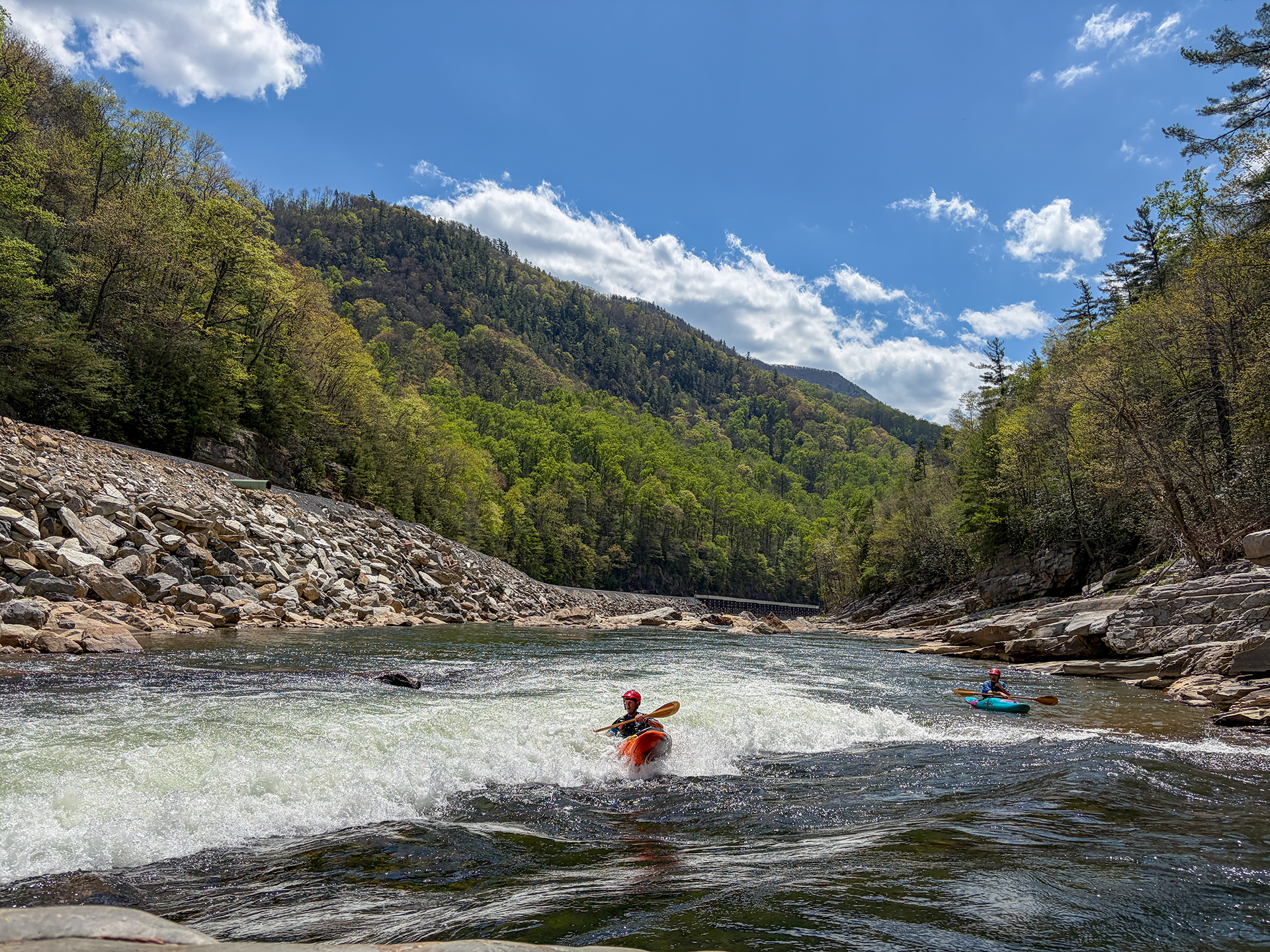
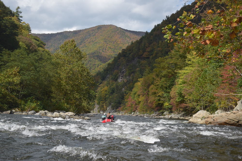
Nolichucky River
1. Poplar NC to Chestoa TN(Nolichucky Gorge)
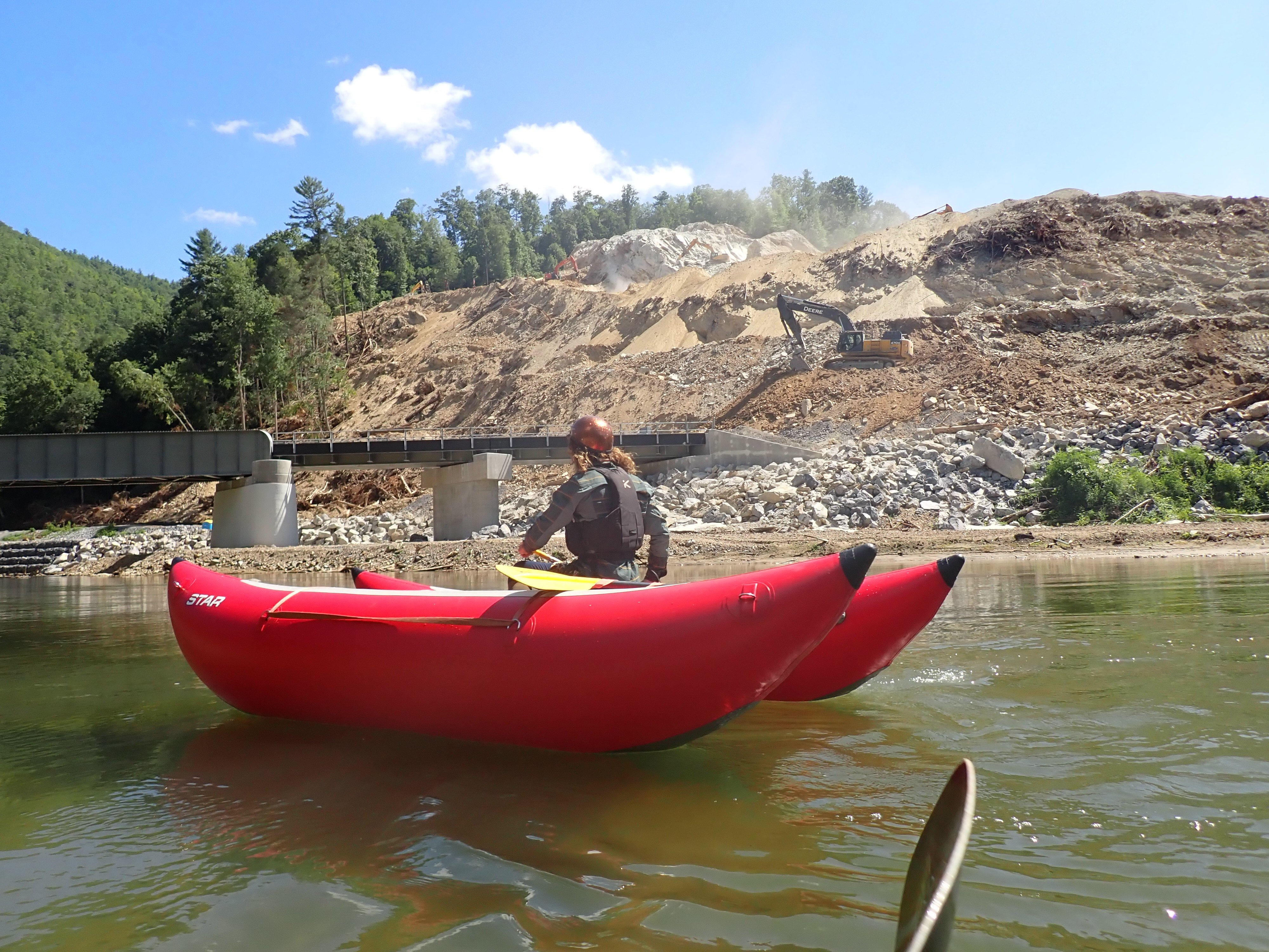
CSX created a dangerous new rapid in the past few weeks. They filled in roughly the left half the riverbed with rocks at the bottom of the rapid generally where Rollercoaster used to be, forming a sloping ledge hole and pushing the flow into a nasty undercut rock. At low flows paddlers have been running left to avoid the undercut, and at medium and higher flows they have been going right of the rock. Scout on the right, but also note that the drop is at the end of a swift wave train rapid.
CSX States: 'Starting the week of February 24, 2025, and as river conditions allow, CSX workers and heavy equipment will enter the Nolichucky River to recover railroad track and ties. These materials are underwater and may be under pressure, which could create hazardous conditions for those in the area. For safety reasons, it is essential to avoid the area during these operations.' The river is not closed, but be extra careful if paddling it.
There is a full set or railroad tracks (both rails and ties) that leave the railroad bed on River Left and cross the entire river flow. This is below Rooster Tail. Look for tracks on River Left. Safe passage at 1000 cfs (guestimate) is on River Left where the tracks are underwater.
Hazard will vary with river level, and may shift. Please approach with caution.
Rail in far right channel of second significant drop in the new Quarter Mile. It is difficult to see and just under the surface. Similar rail in left side of Doo Doo's Hole. Doo Doo's is about 0.5 miles upstream of Rock Garden, the most shallow spot on the Gorge. It used to be a water boof, now it is a tongue. Both hazards are hard to see due to the poor water quality and high turbidity.
WARNING: This run has been severely impacted by Hurricane Helene. Rapids are likely to have dramatically changed and access roads and parking are severely impacted or entirely gone.
(Log has been removed) There IS a log lodged between 3rd and 4th drop (Hungry Jack). Here's a captioned picture showing exactly where it is and what it looks like at 800 CFS. Watch it, you could paddle over this log and never know it is there, or roll in third drop and die wrapped around it
http://www.americanwhitewater.org/content/Photo/detail/photoid/879364/size/big/
...or check most recent pic (as of this date) in photo gallery for more details.
Jul 9, 2026
BluewaysTN is a new initiative of the State of Tennessee that is offering boaters an opportunity through several short surveys to be a part of enhancing, protecting, and celebrating Tennessee’s […]
May 8, 2026
In March of 2026, at our request, a court dismissed a case brought by American Whitewater and American Rivers that sought to protect the Nolichucky River from riverbed rock mining. […]
Aug 13, 2025
Boaters once began their trips down the Nolichucky River Gorge at a US Forest Service access site in the bucolic community of Poplar, NC and floated seamlessly into the natural […]
Mar 12, 2021
The Nolichucky Gorge needs you again! Even if you have written to your elected officials in the past about the Noli, it is time to do so again. The […]