Cowpasture
1. Shaw Fork (Route 250) to Route 625 bridge
Jun 19, 2021
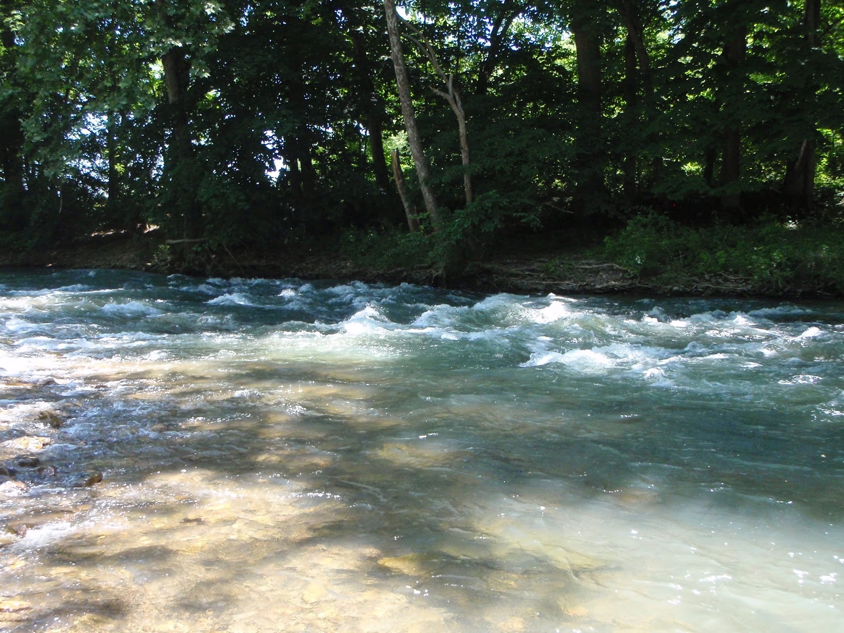
Paddled from Williamsville to Scotchtown Draft Rd. at 175 cfs on the Bullpasture gauge, about a 2 hour trip. This is about as low as I'd go, but I only scraped in a few places. This would make a nice tandem trip at 200 or 250. It's about half a mile on the Bull down to the confluence. I'd always assumed these streams were about equal volume, but the day I was there the Cowpasture was a tiny creek, probably contributing under 100 cfs. Even at low water the Cowpasture moves along pretty well and there are relatively frequent cobble bars where the current gets focused. There are some good surfing waves, and near the end there's a more ledgy rapid that's probably II+ or III- depending on level. Almost all forested, and relatively clear, cold water even in June. Easy, bikeable shuttle. Takeout river left just past the Scotchtown bridge. Since this is a short trip you could easily extend by going down to the bridge where the main road crosses (678) and there's a large gravel pullout.
Jun 15, 2009
your probably better off looking at the bullpasture guage in williamsville than the one on the cowpasture way down stream! sometimes its a scrapefest when that guage is green! if the bullpasture is running than the section from confluence down is deffinately running and more than likely the other side of the mountain(cowpasture) is running too(if the headwaters got the same storm) making a nice wavetrain run at higher levels.
Aug 27, 2008
is this the run where 'laurel gap' is? nerar williamsville-bullpasture gorge section?I have a book where it says this river has major rapids in the 'laurel gap' section and the map shows near the confluence of the two rivers-cam
Jul 26, 2007
shaw fork to bullpasture confluence is not worth the landowner/parking problems plus it is FULL of junk, better to put in at williamsville at the church/trout fishing parking on the bullpasture and run down to cowpasture. ive only gone as far as the rt 627 scotchtown draft rd bridge(nat. forest with easy parking) bullpasture has readable ft. guage at the usgs guage site at the williamsville putin bridge, it was 2ft something which is 200cfs on the gorge run section minimum.. i think the cowpasture guage on amww was 2ftplus that day but thats way down stream. once you pass the first island you hit the confluence and doubles the water and its clean class 2 wavetrains with maybe a cl3- double/ledge, good run for begginers like two of the newbies i had that day(they got hooked BTW) not sure of the smallmouth fishing but these are stocked trout waters. and there was a family fishing that seemed pissed at us even though our paddles never touched the water in their vacinity.
Dec 30, 2003
For the upper section (From the confluence with the Shaw Fork to the confluence with the Bull pasture) I would put the minimum at around 1000-1200 cfs on the gauge shown.
Also considering the number of no trespassing signs be cognizant of land owner concerns and leave no trace.