Whitetop Laurel Creek
Creek Junction (Route 728) to Route 58 near Damascus
| Difficulty | II-IV |
| Length | 10.6 mi |
| Avg Gradient | 80 fpm |
| Gauge | S F Holston River Near Damascus, Va |
| Flow Rate as of 19 minutes | 353 cfsbelow recommended |
| Reach Info Last Updated | March 31, 2024 |
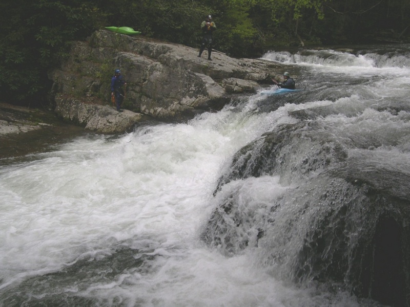
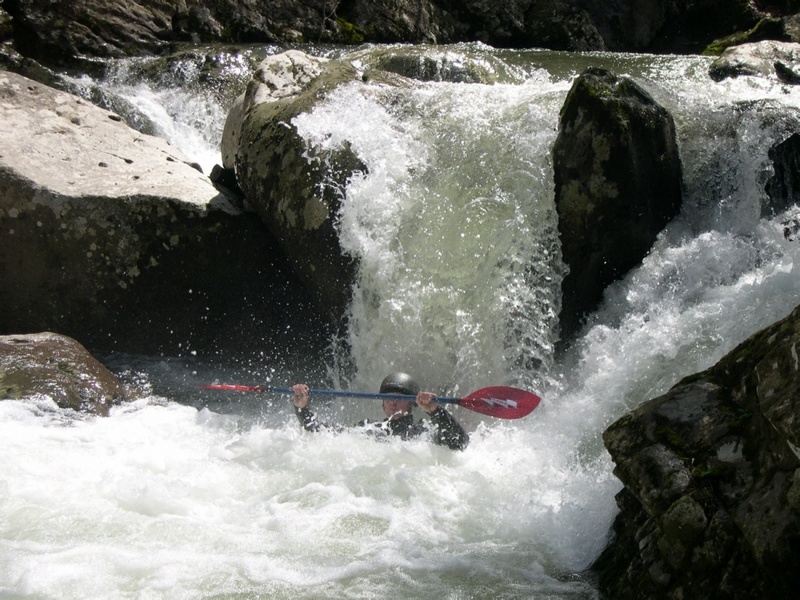
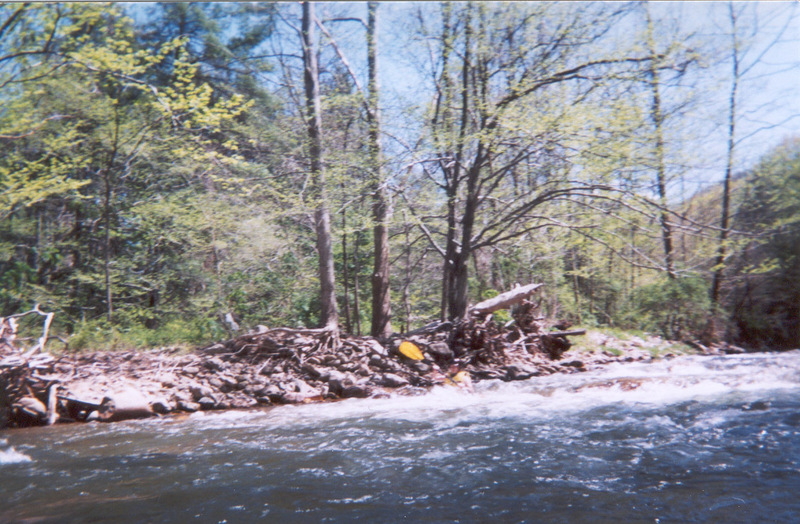
Whitetop Laurel is a great creek for those looking to step up a level with their creek boating. The creek has several great rapids in the run. Most notable being Whitetop's Upper Gorge. This section contains several boulder drops and a lowhead dam that should be scouted first. After Whitetop's Upper Gorge, you have some good rapids down to the 'usual' put in at the Creek Junction access. From here the creek maintains a steady pace with some great moves like the Slot, which comes about 200yds into the run, after the Creek Junction access. The slot is recognized from upstream by a jumble of boulders on RL. Get out at the bridge crossing the creek here and scout this series of rapids leading into the Slot. The move is a fast s-turn from RR to RL and over a drop of about 6ft.
From here the creek continues down into Taylors Valley with some nice rapids along the way. Whitetop Laurel can be eddy hopped and boat scouted from here into Taylors Valley.
The creek can be broken up into two sections if one doesn't have the time to paddle the entire 12 miles. The first section is from Creek Junction to Taylors Valley and contains the drops mentioned above along with some other good rapids.
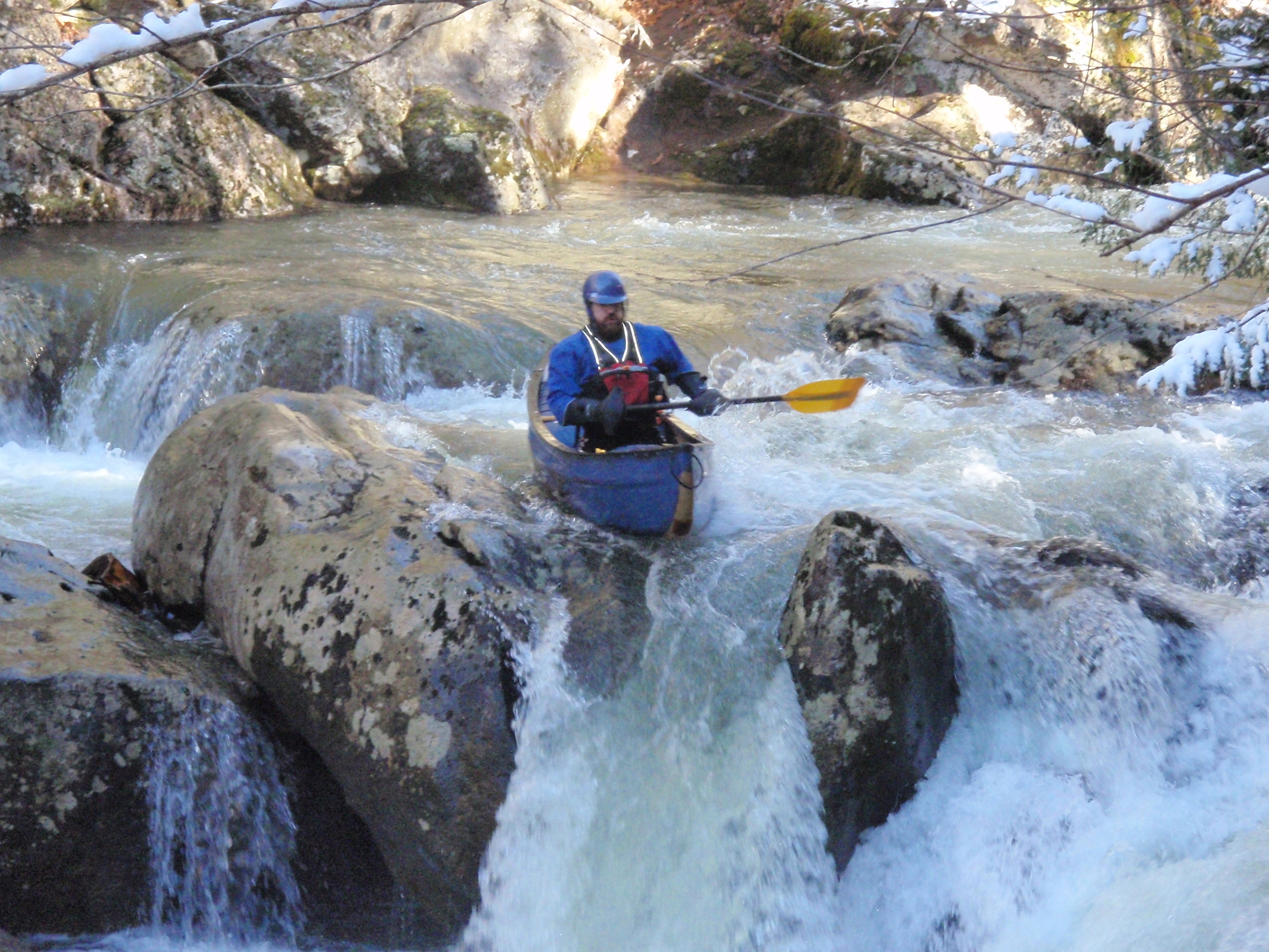
The second section is from Taylors Valley to Damascus VA, this section is fairly continuous and has mainly cl II-III rapids. One should note the old 'iron bridge' over the creek on the way up Rt. 58 and stop and scout the rapid in this stretch. It can be tricky at various levels. If paddling past the Straight Branch access to the takeout at Iron Bridge, be on the lookout for the approach of Big Rock Falls, a good size (~12') ledge that is usually run on RR. The landmarks that signal the approach are an island just downstream of Straight Branch access and about 1 mile downstream is the next bridge below Straight Branch. The falls are located just below this bridge with an eddy on RR between the bridge and falls
This creek can be combined with Tennessee Laurel creek lo
...Aug 6, 2022
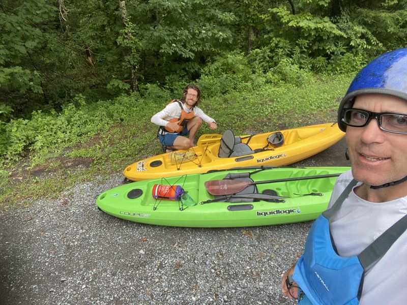
My brother Reid and I ran from Taylor's Valley to the new Dog Park in Damascus. Low but ok level except Big Rock Falls was bony and we portgaged it. We were on a family vacation and the best boats we had with us were two Liquid Logic Coupe's, which were great on this run. We would call it busy Class 3. Super easy shuttle.
Mar 6, 2018
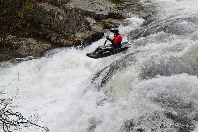
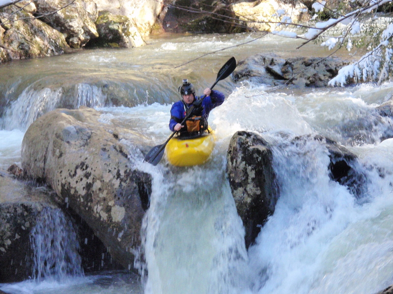
Trevor on the falls
Apr 21, 2013
Is there a local bridge or a trestle with a painted gauge for this run?
On 4.20.13 we ran WTL 9 miles from Creek Junction to HWY 91 at Damascus. Easy bike shuttle on the VA Creeper Trail, if you don't mind riding uphill that is. Level was 1420 cfs on the S. Fork Holston AW gauge, and it was a fun minimum level for class 3 boaters. We scouted the Slot (located below the first trestle you paddle under after the high trestle at Creek Junction) and Big Rock Falls (located below the first trestle following the Straight Branch access parking area), but everything else was great read and run 2/3 boogie. At least 5 of the trestles along this run are mostly blocked or completely blocked with wood. There are large plates of steel lying in the streambed , sagging air craft cables, downed pieces of aircraft cable, or some combination of hazards of steel and/or wood and logs around many of the trestles. The best thing about doing a bike shuttle on this run is you can scout the wood/steel situation at each of the numbered trestles and all the major rapids on the run. There was one river-wide strainer, just below the 'usual' put in at Creek Junction, in easy water. In at least three sections where the river was split by islands, one or more channels was blocked with wood. Other than the trestles, the river was mostly free of badly placed wood, and the lower 3 mile gorge from Straight Branch access to HWY 91 was completely free of wood blockages. As the description for this run indicates, the lower gorge is pushier with bigger holes than the 6 miles from Creek Junction to Straight Branch. There are also some gravel parking areas along HWY 58 to make this a 7.5 - 8 mile run, and you can paddle 10 miles all the way to the Old Mill in Damascus and take out at the public parking area above the dam. Shuttles may also be available from one of the many local bike rental/shuttle liveries for the VA Creeper Trail. The Upper Gorge, down to Creek Junction access, is a much more demanding class IV stretch of water that can be scouted along the gravel road down to the access parking lot. From Creek Junction down is a beautiful intermediate run, but the hazards with wood and metal, especially around the trestles, definitely upgrade the challenges on this run and require boaters to always be alert.