Whitetop Laurel Creek
Creek Junction (Route 728) to Route 58 near Damascus
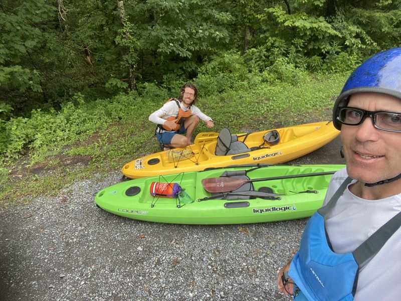
Aug 6, 2022
My brother Reid and I ran from Taylor's Valley to the new Dog Park in Damascus. Low but ok level except Big Rock Falls was bony and we portgaged it. We were on a family vacation and the best boats we had with us were two Liquid Logic Coupe's, which were great on this run. We would call it busy Class 3. Super easy shuttle.
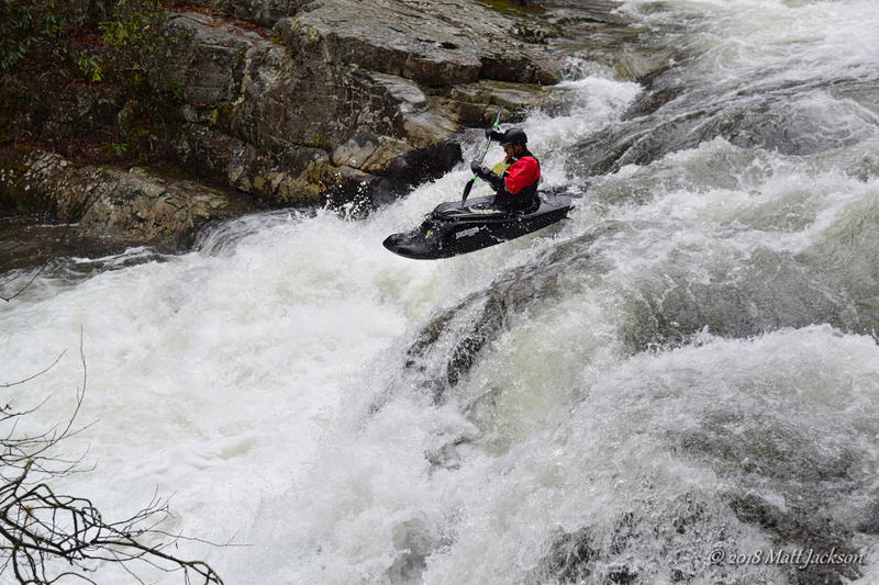
Mar 6, 2018
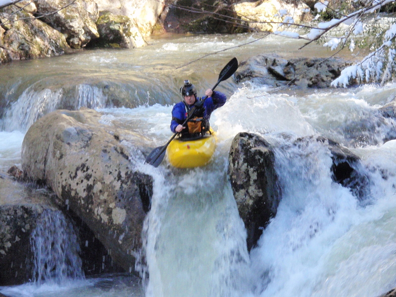
Trevor on the falls
Apr 21, 2013
Is there a local bridge or a trestle with a painted gauge for this run?
On 4.20.13 we ran WTL 9 miles from Creek Junction to HWY 91 at Damascus. Easy bike shuttle on the VA Creeper Trail, if you don't mind riding uphill that is. Level was 1420 cfs on the S. Fork Holston AW gauge, and it was a fun minimum level for class 3 boaters. We scouted the Slot (located below the first trestle you paddle under after the high trestle at Creek Junction) and Big Rock Falls (located below the first trestle following the Straight Branch access parking area), but everything else was great read and run 2/3 boogie. At least 5 of the trestles along this run are mostly blocked or completely blocked with wood. There are large plates of steel lying in the streambed , sagging air craft cables, downed pieces of aircraft cable, or some combination of hazards of steel and/or wood and logs around many of the trestles. The best thing about doing a bike shuttle on this run is you can scout the wood/steel situation at each of the numbered trestles and all the major rapids on the run. There was one river-wide strainer, just below the 'usual' put in at Creek Junction, in easy water. In at least three sections where the river was split by islands, one or more channels was blocked with wood. Other than the trestles, the river was mostly free of badly placed wood, and the lower 3 mile gorge from Straight Branch access to HWY 91 was completely free of wood blockages. As the description for this run indicates, the lower gorge is pushier with bigger holes than the 6 miles from Creek Junction to Straight Branch. There are also some gravel parking areas along HWY 58 to make this a 7.5 - 8 mile run, and you can paddle 10 miles all the way to the Old Mill in Damascus and take out at the public parking area above the dam. Shuttles may also be available from one of the many local bike rental/shuttle liveries for the VA Creeper Trail. The Upper Gorge, down to Creek Junction access, is a much more demanding class IV stretch of water that can be scouted along the gravel road down to the access parking lot. From Creek Junction down is a beautiful intermediate run, but the hazards with wood and metal, especially around the trestles, definitely upgrade the challenges on this run and require boaters to always be alert.
Apr 30, 2006
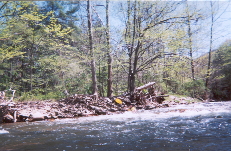
The level this day was 2.8 on the AFWS gauge. We put in at Taylors Valley and although some spots were pretty low we still had a great time and was able to run everything.
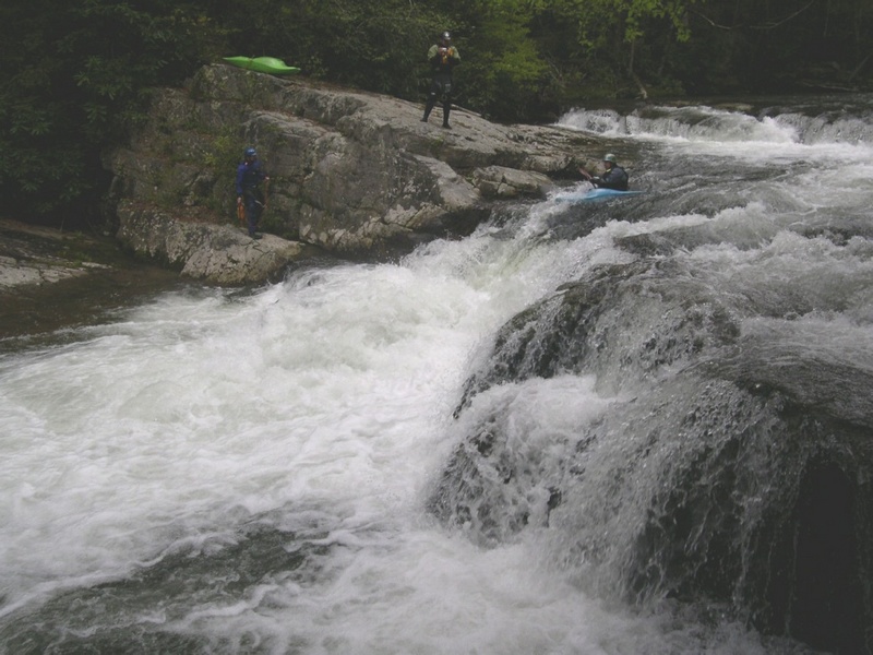
Apr 29, 2006
This is the rapid above the Slot. The level this day was 3.2 on the AWFS page
http://www.afws.net/data/va/Washington.HTM
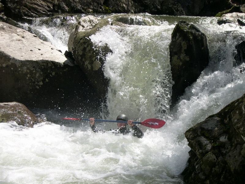
Apr 26, 2006
Billy running the slot. The AFWS level was 3.2 this day.
Jan 1, 1900
This rapid is actually just before you get to the town of Damascus. We put in up above town a few miles and paddled to the Old Mill. Fun trip, try out with a lot of water in the creek.
Jan 1, 1900
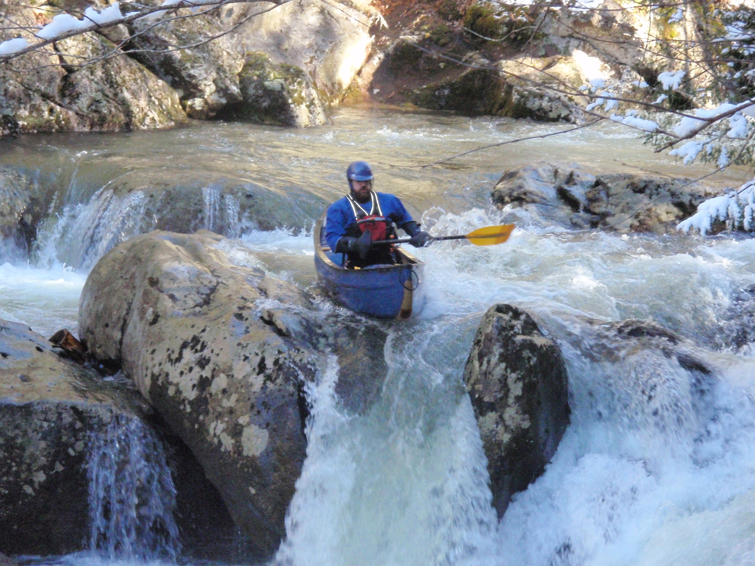
Open boat first decent???