Black
Whitesville to Perkinsville
Jun 19, 2023
Tree down across entire river at first major rapid in gorge. Cannot be seen until it's too late.
Location: https://goo.gl/maps/zYh6n2HD12XsREUP6
Coordinates 43°23'33.9'N 72°32'33.9'W
Otherwise great run. 700 is the lowest I'd run it, pretty scrapey even at that level.
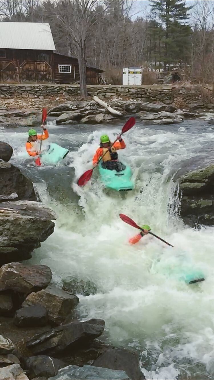
There is one last surprise rapid right at the takeout (100 ft before covered bridge) that needs to be scouted at lower levels as there is a ledge drop and only one slot that has sufficient water in it to not get stuck.
May 4, 2018
Run Is about 5 miles and took about an hour at 800 cfs. 7.5 miles on main page needs editing. We beat our shuttle ride by an hour thinking it was longer run. Beautiful river.