Cedar River
Landsburg bridge to Maplewood Roadside Park
May 16, 2021
| Reporter | Michael Searing |
| Gauge Reading | 950 cfs at CEDAR RIVER BELOW DIVERSION NEAR LANDSBURG, WA |
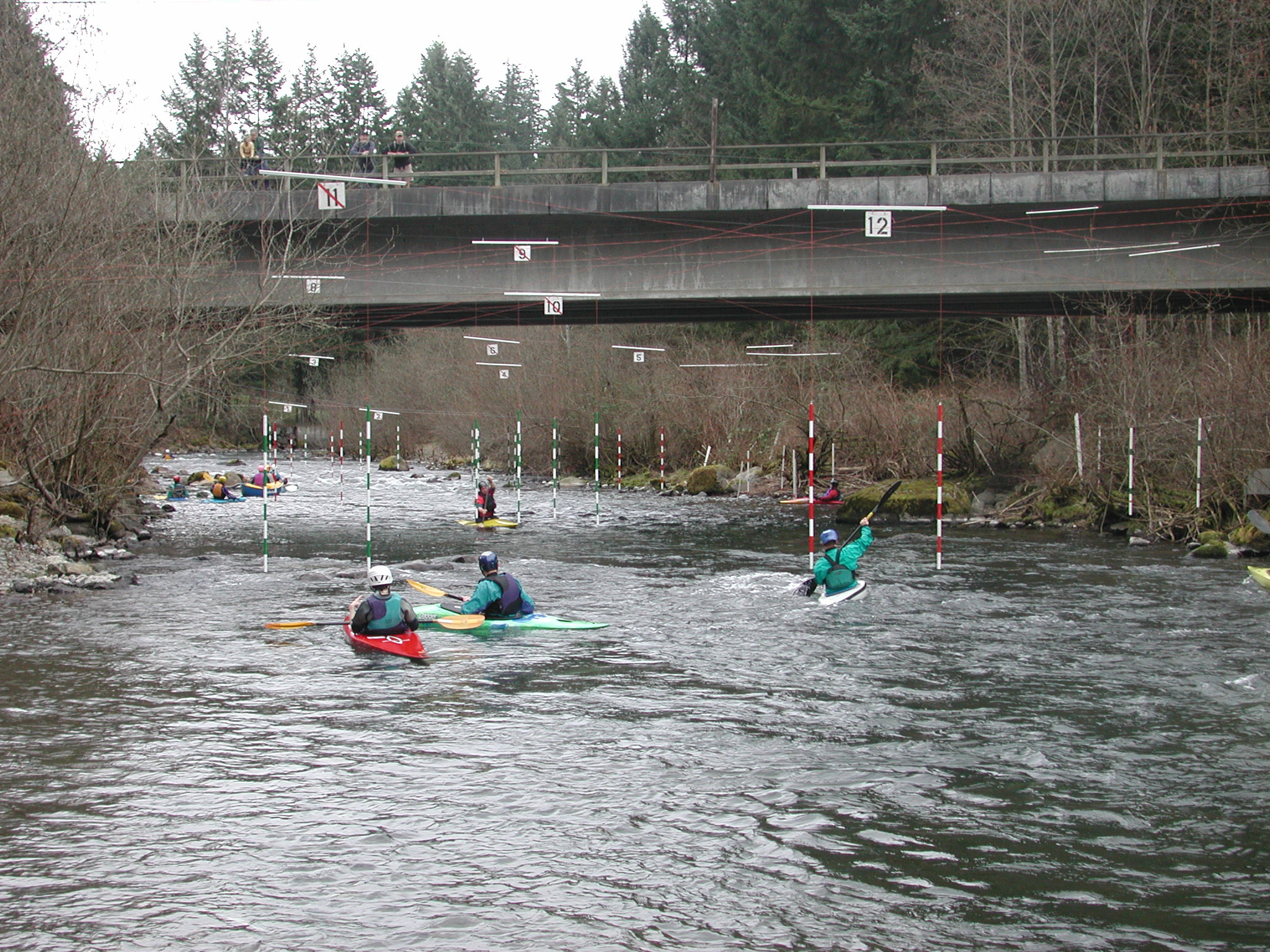
On 5/16/21, we took 2 canoes from the Hwy 18 bridge to 177th Ave SE. 8.2 miles, 160' vertical, 1.5 hours moving. USGS gage on this site said 950 cfs (there's a NWRFC flood gage, LNDW1, above the Landsburg Headworks which read higher at 1100 cfs, presumably because of the aqueduct to Lake Youngs). We scouted a bend 1 mile in (near Royal Arch Park) where a tree blocks the right 3/4 of the river before a sharp right turn, and ended up portaging over the tree. Scouted another turn 2 miles in but it ran fine. No other scouting the rest of the section. Very few spots with shallow water, easy to avoid. Canoes weren't quite nimble enough (with a 3rd person in the middle) to handle this much flow around the sharpest bends, so we took out after swamping both and losing 2 paddles at the left turn after 177th Ave SE. This was just before some rapids we would have had to scout and the 3 portages, so this was a fine spot to take out anyway. See a map I made (Google 'CalTopo AVGH'). Saw 2 bald eagles, 2 golden eagles, and several mergansers.